
NATIONAL PARKS – NATURE & WILDLIFE
Discover Bolivia’s extraordinary national parks, where dramatic landscapes, rich biodiversity and remarkable wildlife come together. From snow-capped Andean peaks and high-altitude wetlands to cloud forests, tropical rainforests and vast lowland landscapes, Bolivia’s National Parks offer unforgettable opportunities to experience nature, explore diverse ecosystems and discover unique species in their natural habitats while preserving some of South America’s most spectacular ecosystems.
Bolivia currently has 23 national protected areas under SERNAP, these areas are more than just beautiful destinations—they are vital spaces for conservation, local communities and future generations. Discover them responsibly and experience the remarkable connection between Bolivia’s landscapes, wildlife and living cultures while helping to protect these precious environments for future generations.
“From the Andes to the Amazon, discover a world where nature thrives and adventure begins.”
MADIDI NATIONAL PARK
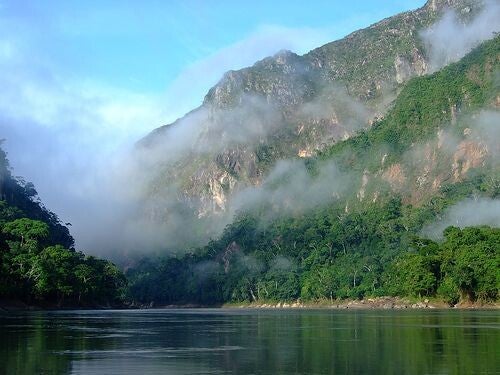
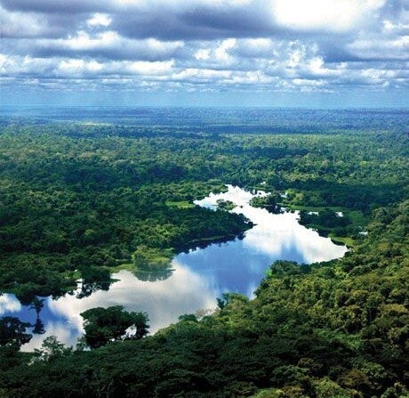
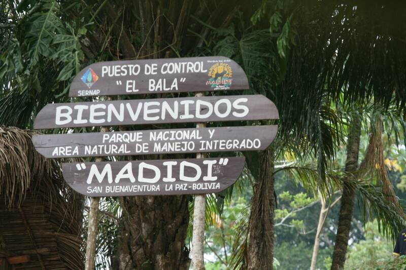
Madidi National Park is one of Bolivia’s most spectacular natural destinations, where the Andes meet the Amazon. Covering almost 1.9 million hectares, the protected area stretches from high Andean landscapes and cloud forests to tropical rainforest and river ecosystems. Its exceptional biodiversity, dramatic scenery and living indigenous cultures make Madidi an outstanding destination for nature, wildlife and responsible community-based tourism.
Highlights:
-
Exceptional biodiversity – one of the most biologically diverse protected areas in Bolivia and the world.
-
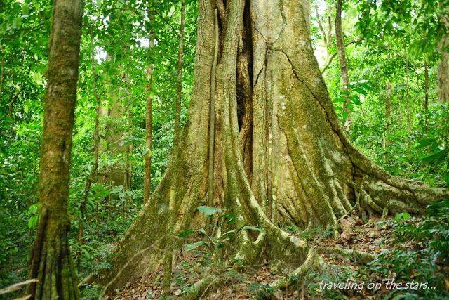
Andes to Amazon – experience an extraordinary range of ecosystems within one protected area.
-
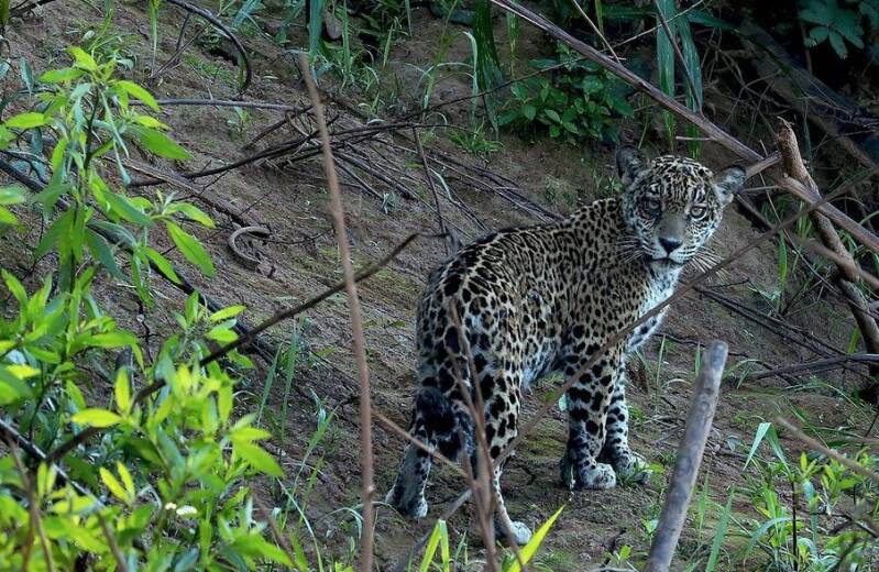
Wildlife encounters – opportunities to observe jaguars, spectacled bears, tapirs, monkeys, giant river otters, caimans and hundreds of bird species.
-
Birdwatching – more than 1,000 bird species have been recorded in Madidi.
-
Amazon adventures – explore rainforest trails, rivers, lagoons and surrounding natural landscapes.
-
Community-based tourism – experiences operated by indigenous communities connect visitors with local culture while supporting conservation.
Location: Madidi National Park and Integrated Management Natural Area is located in northwestern Bolivia, mainly in the Department of La Paz, within the provinces of Franz Tamayo and Abel Iturralde. The principal tourism gateway is Rurrenabaque, in neighbouring Beni Department.
Altitude: ranges from 180 to 5,760 m (590–18,900 ft) above sea level.
Weather & Climate: Madidi has a tropical climate in its lower elevations, with warm, humid conditions and substantial rainfall, but conditions vary considerably with altitude, from the Andean foothills to the Amazon lowlands.
-
Temperature: Generally warm in the lowlands, with cooler conditions at higher elevations.
-
Wet season: November to March/April — frequent and sometimes heavy rainfall, high humidity and lush vegetation.
-
Dry season: May to October — generally less rainfall and more favourable conditions for exploring the rainforest.
-
Cold fronts: During the dry season, occasional surazos can bring cooler temperatures.
-
Rainfall: Heavy rainfall supports Madidi's exceptionally diverse rainforest, rivers and wildlife.
Best time for tourism: The drier months, May to October, are often considered a favourable period for rainforest exploration, hiking and wildlife observation, although conditions can vary from year to year. The wetter season can bring heavier rainfall and more challenging travel conditions, but it also creates lush landscapes, flowing rivers and excellent opportunities to experience the rainforest at its most vibrant.
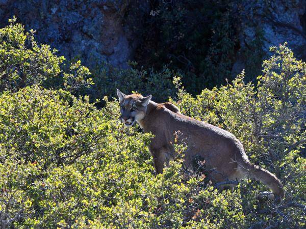
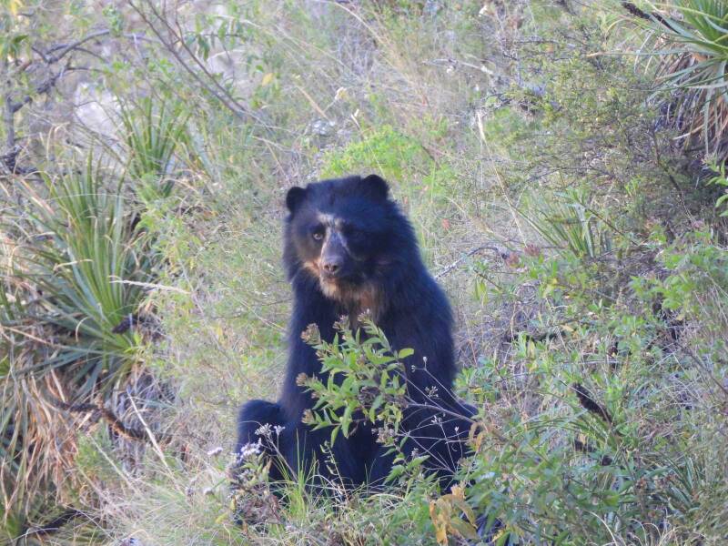
Nature & Wildlife: Madidi protects an extraordinary variety of high-Andean wetlands and grasslands, dry forests, mountain savannas, cloud and montane forests, Amazonian rainforest and flooded savannas. Wildlife includes jaguars, pumas, Andean spectacled bears, tapirs, giant river otters, monkeys, black caimans, deer and numerous reptiles, amphibians and fish. The park is particularly important for birdwatching, with more than 1,000 bird species recorded.
Indigenous Communities: Madidi is also a landscape of living cultures. Indigenous and local communities include Tacana, Leco, Quechua and Aymara families, with Indigenous territories associated with Tacana I, San José de Uchupiamonas, Lecos de Apolo and Lecos de Larecaja. Community-based tourism provides opportunities to learn about traditional knowledge, local culture, forest products, food, crafts and relationships with the natural environment. Initiatives such as Chalalán Ecolodge, San Miguel del Bala and community tourism in Villa Alcira demonstrate how tourism can contribute to conservation and local economic opportunities.
How to Get There: The main gateway is Rurrenabaque.
-
By air: Fly from La Paz to Rurrenabaque, then continue by road and/or river depending on your chosen lodge or community.
-
By road: Rurrenabaque can also be reached by bus from La Paz or Beni, although journey times are considerably longer and road conditions can vary.
-
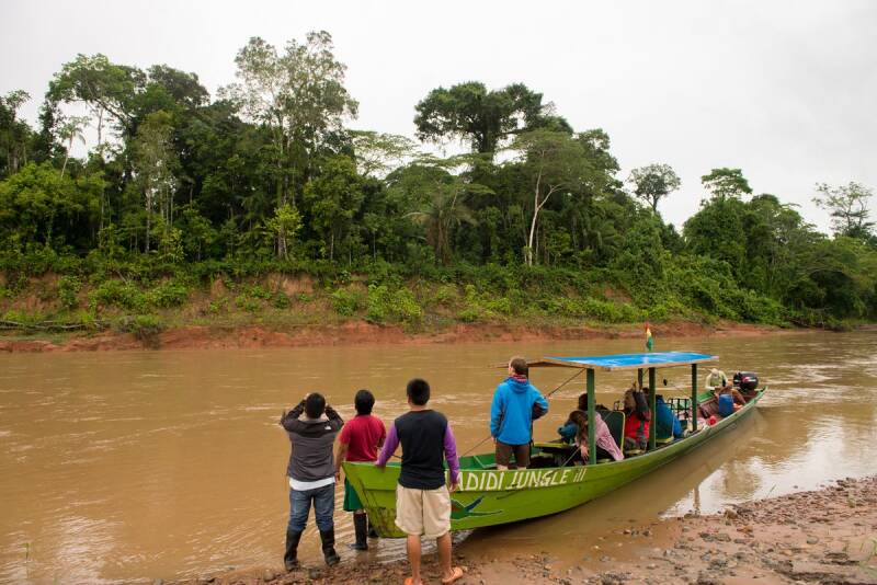
Into Madidi: Access to many tourism areas is by river boat from Rurrenabaque or San Buenaventura, normally as part of an organised excursion or community tourism programme.
Where to Stay: Accommodation is concentrated around Rurrenabaque, San Buenaventura and community tourism areas within or close to Madidi. Options include:
-
Chalalán Ecolodge – a community-based ecolodge associated with the San José de Uchupiamonas Indigenous community, located beside Chalalán Lagoon.
-
San Miguel del Bala – an indigenous community-owned ecolodge offering rainforest and Tacana cultural experiences.
-
Sadiri Lodge – a community-managed lodge associated with San José de Uchupiamonas, offering rainforest experiences and birdwatching.
-
Rurrenabaque – the main tourism hub, with a wider choice of hotels, guesthouses and tour services.
Travel Tip: Madidi is best experienced through responsible, locally operated tourism that respects indigenous territories, wildlife and the protected area's conservation objectives.

SAJAMA NATIONAL PARK
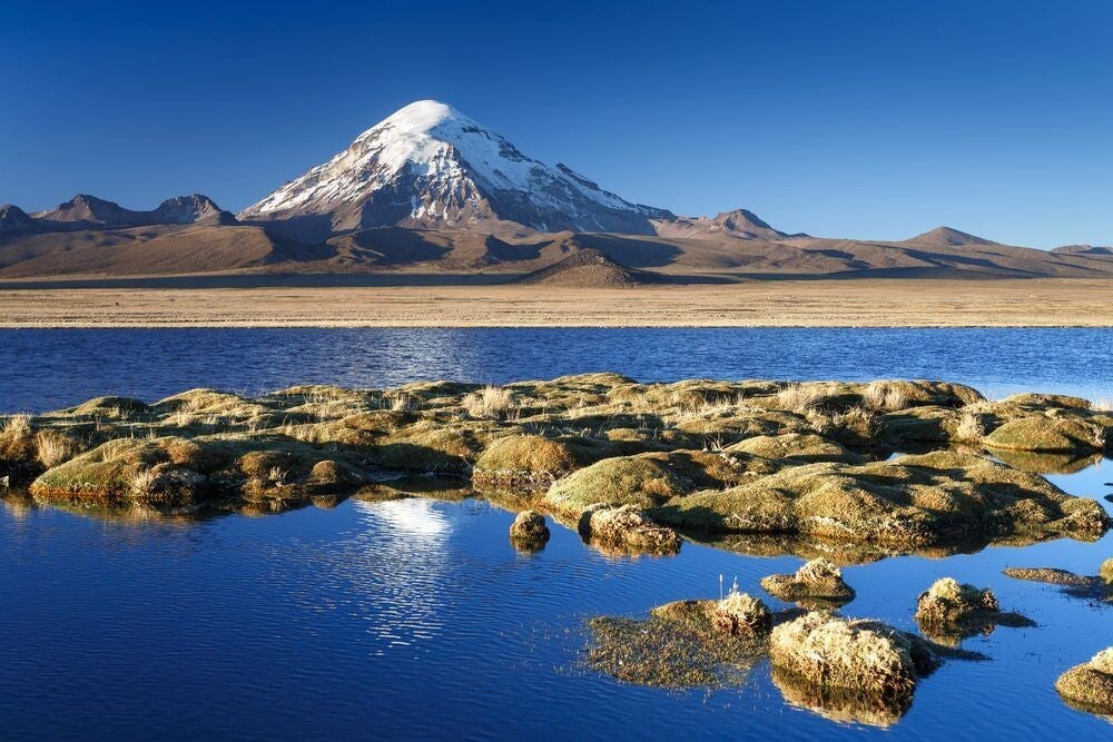
Sajama National Park is a spectacular high-altitude landscape in western Bolivia, centred around Nevado Sajama, the highest mountain in Bolivia at 6,542 metres. Established in 1939, it was Bolivia’s first protected area. The park combines snow-capped volcanoes, vast altiplano plains, high-altitude wetlands, geysers, hot springs, lagoons and some of the world’s highest forests of queñua trees.
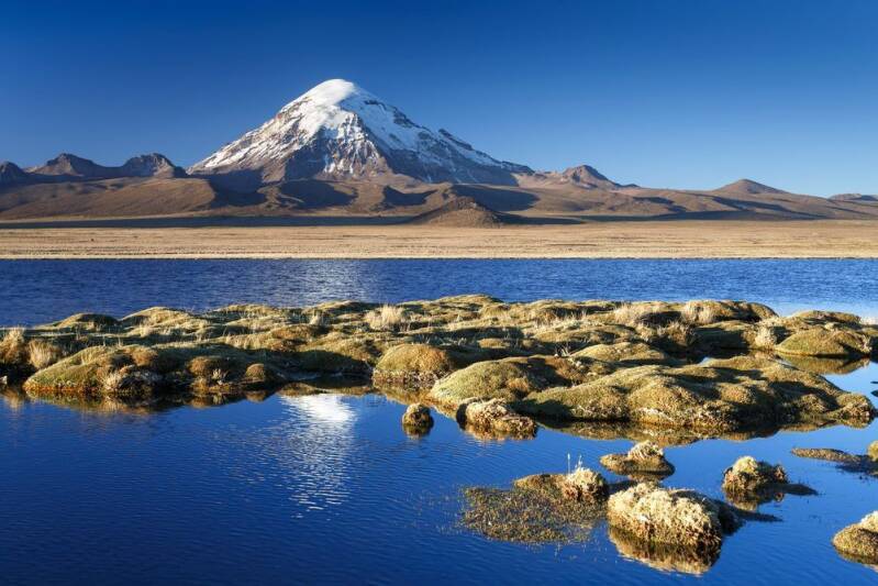
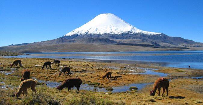
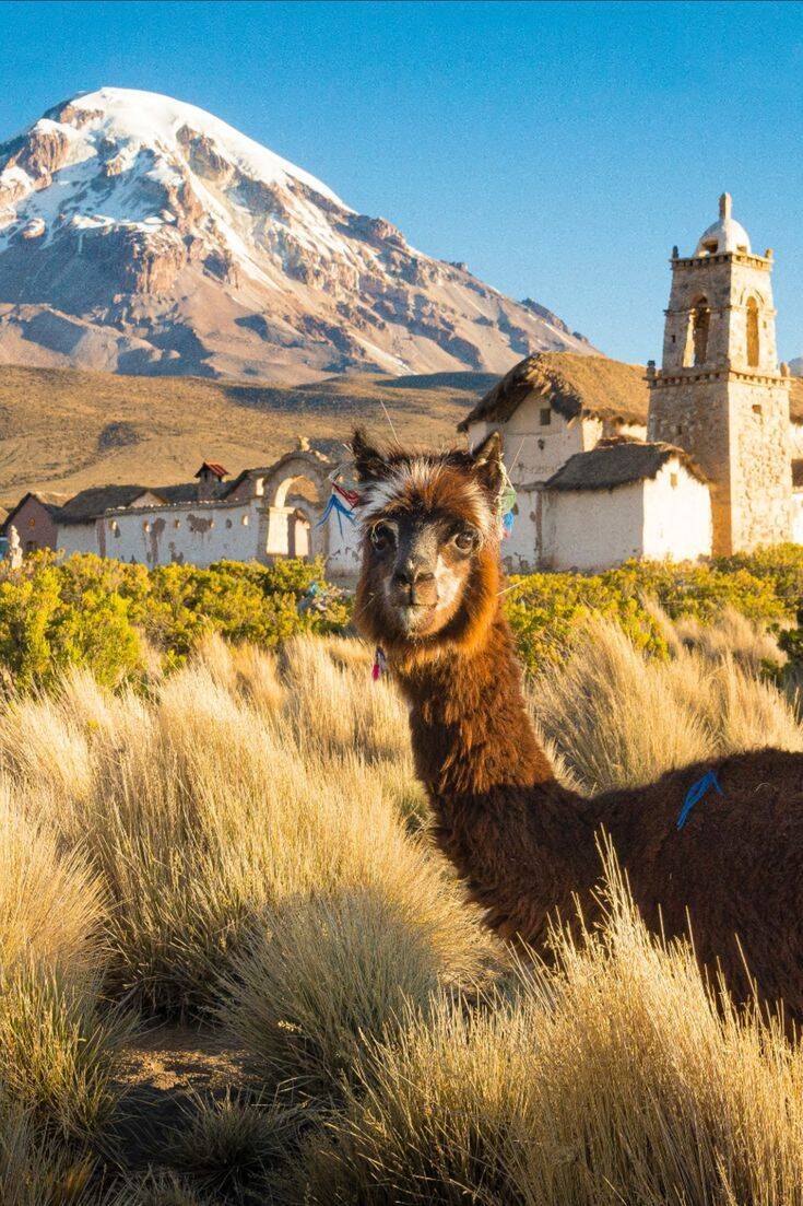
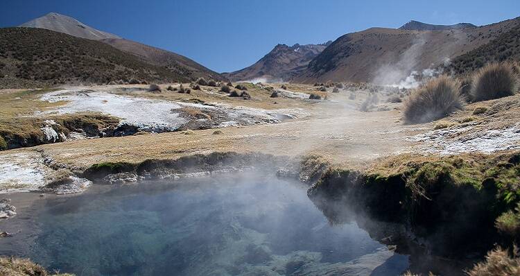
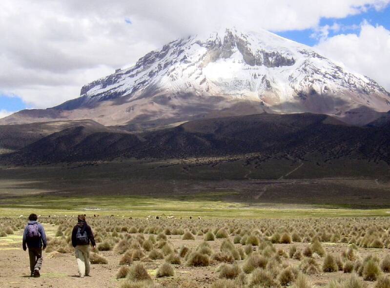
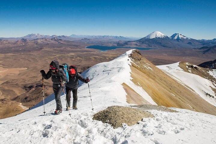
Highlights: Sajama offers an extraordinary combination of Bolivia's highest mountain, ancient Aymara culture, geothermal landscapes and exceptional high-Andean wildlife—making it one of the country's most rewarding destinations for responsible nature and cultural tourism, its most important tourist highlights are:
-
Nevado Sajama – Bolivia’s highest peak at 6,542 m.
-
Payachatas volcanoes – Parinacota and Pomerape create a dramatic mountain scenery.
-
Queñua forests – among the highest-elevation forests in the world.
-
Juchusuma geysers – geothermal landscapes with steaming springs and volcanic activity.
-
Manasaya hot springs – natural thermal waters surrounded by spectacular mountain scenery.
-
High-altitude lagoons and bofedales – important habitats for birds and Andean camelids.
-
Wildlife watching – especially vicuñas, llamas, alpacas, flamingos and the Andean rhea or suri.
-
Cultural heritage – Aymara communities, archaeological sites, chullpas, traditional landscapes and historic churches.
Location: Sajama National Park is in the Department of Oruro, in Bolivia's western Andes near the Chilean border. The park lies within the Cordillera Occidental and is accessed from the main La Paz–Tambo Quemado road, with the village of Sajama providing an important gateway to the park.
Altitude: This is one of Bolivia's highest national parks. Elevations generally range from approximately 4,200 to 6,600 metres, while the summit of Nevado Sajama reaches 6,542 metres. The village of Sajama itself is around 4,200 metres, so visitors should allow time to adjust to the altitude.
Weather & Climate: Sajama has a cold, dry and semi-arid high-Andean climate. Days can be sunny and relatively mild, while temperatures drop considerably after sunset and can fall below freezing. The rainy season is concentrated mainly between November and March, while May to September is generally the drier period with clearer skies.
Nature & Wildlife: The park protects a remarkable high-altitude ecosystem of puna grasslands, bofedales, lagoons, volcanic landscapes and queñua forests. Wildlife includes vicuñas, llamas, alpacas, viscachas, Andean foxes, pumas and quirquinchos. Birdlife includes Andean flamingos, Andean condors, horned coots and suris (Andean rheas).
Indigenous Communities: Sajama is traditionally associated with Aymara communities of Caranga origin, whose cultural landscape includes traditional ayllu organisation, ancestral beliefs and long-established relationships with the mountains, wildlife and surrounding ecosystems. Several communities participate in conservation and tourism activities, helping visitors experience the landscape while supporting their local economy.
Best Time to Visit: May to September is generally the best period for tourism, particularly for visitors seeking clear skies, mountain views, hiking and photography. The months of June to August are typically very dry but can be extremely cold at night. The wetter season from November to March can bring cloud, rain and occasional snow at higher elevations.
Tourism experiences : Sajama is ideal for travellers interested in nature, hiking, wildlife, photography, cultural tourism and high-Andean landscapes. Popular experiences include:
-
Exploring the Sajama landscape and surrounding trails
-
Visiting geysers and geothermal areas
-
Soaking in natural hot springs
-
Wildlife watching around lagoons and bofedales
-
Visiting queñua forests
-
Discovering Aymara communities and cultural heritage
-
Visiting historic churches and archaeological sites
-
Enjoying panoramic views of Sajama and the Payachatas
How to Get There: The journey is primarily by road. From La Paz, travel west along the main highway towards Tambo Quemado and the Chilean border. The turn-off at Lagunas provides access to the village of Sajama and the national park. From Oruro, travellers can also connect with the Sajama area by road.
Where to Stay: Accommodation is available mainly in and around Sajama village and nearby communities, including small guesthouses, community-based accommodation and basic lodges. Tomarapi is another notable community tourism area associated with the park. Facilities are relatively simple, making Sajama particularly suited to travellers looking for an authentic high-altitude experience rather than luxury accommodation.
Travel Tips
-
Prepare for the altitude: Sajama is above 4,000 m, so take it slowly when you arrive.
-
Bring warm layers: temperatures can change dramatically between day and night.
-
Use sun protection: high-altitude sunlight can be very strong.
-
Carry water and snacks: services are limited outside the main communities.
-
Travel with appropriate local guidance for remote areas and mountain activities.
-
Respect local communities and sacred places and ask before photographing people.
-
Support community tourism: choosing local accommodation, guides and services can contribute directly to conservation and to the community’s economy.
-
Allow extra travel time: weather and road conditions can affect journeys across the Altiplano.
EDUARDO AVAROA NATIONAL RESERVE
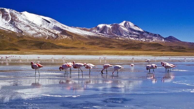
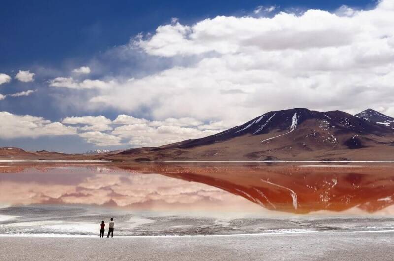
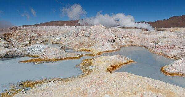
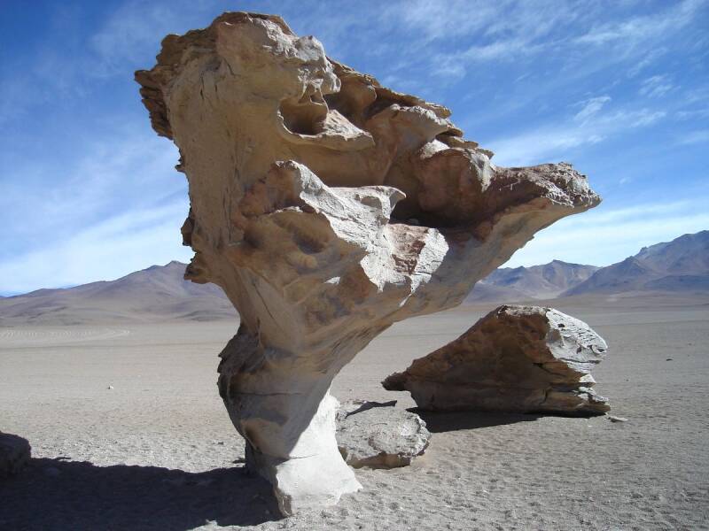
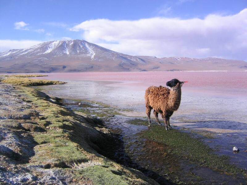
The Eduardo Avaroa Andean Fauna National Reserve (REA) is one of Bolivia’s most spectacular protected areas. From the vast high-altitude landscapes of volcanos, vivid red waters of Laguna Colorada and the emerald-green Laguna Verde to the surreal formations of the Dálí Desert, the iconic Árbol de Piedra and the geothermal landscape of Sol de Mañana with its hot springs, Eduardo Avaroa is a destination unlike any other, where dramatic scenery and remarkable wildlife come together offering and extraordinary experience of the Bolivian Altiplano. The reserve covers approximately 7,147 km² and is managed by SERNAP.
Highlights
-
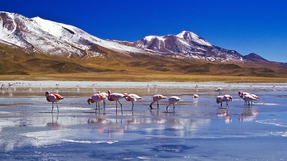
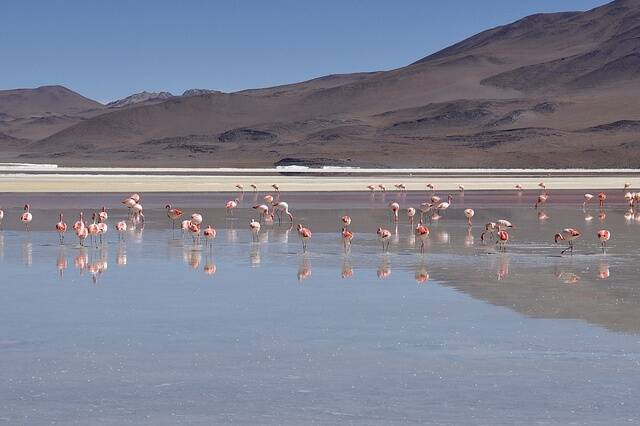
Laguna Colorada – A spectacular, red-coloured lagoon famous for its populations of Andean flamingos.
-
Laguna Verde – An emerald, green-coloured high-altitude lagoon beneath the imposing Licancabur Volcano.
-
Laguna Blanca – A striking mineral-rich lagoon surrounded by volcanic landscapes.
-
Sol de Mañana – A dramatic geothermal area with geysers, fumaroles and volcanic activity.
-
Dálí Desert – A spectacular landscape of volcanic rock formations and high-altitude desert scenery.
-
Árbol de Piedra – A naturally sculpted rock formation shaped by wind erosion.
-
Polques Hot Springs – Natural thermal waters surrounded by an extraordinary Andean landscape.
-
Volcanic landscapes – High peaks, lava formations, deserts and mineral-rich lagoons create an almost otherworldly environment.
Location: Eduardo Avaroa is located in the Province of Sud Lípez, Department of Potosí, in the remote southwest of Bolivia. The reserve borders Chile to the west and Argentina to the south and forms part of the high Andes and southern Altiplano.
Weather & Climate: Eduardo Avaroa has an extremely cold, dry and windy high-altitude climate. Temperatures can change rapidly between day and night, with strong sunshine during the day and freezing conditions after sunset. The dry season generally runs from May to October, bringing clearer skies and very little rainfall. November to April is warmer but wetter, with occasional rain and snow that can affect roads and access. Winter nights can be particularly cold with temperatures below freezing. The reserve receives very little annual precipitation, with much of the landscape characterised by arid and semi-desert conditions.
Altitude: Eduardo Avaroa is one of Bolivia’s highest tourist destinations. The reserve generally ranges from approximately 4,200 to 6,000 metres above sea level, making altitude one of the most important considerations for visitors.
Nature & Wildlife: Despite its extreme environment, Eduardo Avaroa supports a remarkable variety of wildlife specially adapted to life in the high Andes. The reserve is particularly famous for its three species of flamingos, the Andean flamingo, James’s flamingo and Chilean flamingo. Other wildlife includes vicuñas, Andean foxes, vizcachas, pumas, Andean condors and the southern viscacha, while the rare Andean cat is among the most notable species associated with the region. The vegetation is adapted to extreme cold, aridity and saline soils, including paja brava, thola, yareta and high-Andean cushion plants. Bofedales and wetlands around the lagoons provide important habitats for wildlife.
Indigenous Communities: Eduardo Avaroa is not only a natural landscape; it is also part of the ancestral territory of Aymara communities living in the wider Sud Lípez region. Small settlements and rural communities, including Quetena Chico and Quetena Grande, have traditionally depended on livestock raising, particularly llamas and alpacas, as well as other forms of local subsistence. Quetena Chico is particularly important for tourism and provides an opportunity to learn about local life, Andean traditions and the relationship between communities and their high-altitude environment.
Best Time to Visit:
- May to October is generally the best period for travellers seeking dry conditions, clear skies and good visibility across the landscapes. November can also be an attractive time to visit, particularly for wildlife enthusiasts, as bird activity around the lagoons can be rewarding while weather conditions may be somewhat more moderate.
- The rainy season from December to April can bring changing road conditions and occasional access difficulties, although the landscapes can take on a different character during this period.
Tourism & Experiences: Eduardo Avaroa is ideal for travellers interested in nature, wildlife, photography, adventure and high-altitude landscapes. Popular experiences include:
-
Exploring the colourful high-altitude lagoons
-
Wildlife and birdwatching
-
Visiting geothermal fields and geysers
-
Soaking in natural hot springs
-
Photography and landscape exploration
-
Discovering volcanic and desert formations
-
Experiencing local Andean communities and traditions
-
Combining the reserve with a journey across the Salar de Uyuni
How to Get There:
- From Uyuni: The most popular tourist route begins in Uyuni, usually as part of a multi-day 4×4 expedition through the Salar de Uyuni and Eduardo Avaroa, the journey includes the spectacular landscapes of southern Bolivia towards attractions such as Laguna Colorada, Sol de Mañana, the Dálí Desert and Laguna Verde. The journey to Quetena Chico takes approximately six hours from Uyuni, depending on road and weather conditions.
- From Tupiza: Another popular route begins in Tupiza, travelling south through the dramatic landscapes of Sud Lípez before entering the reserve.
- From Chile: Travellers can also reach the reserve from San Pedro de Atacama, crossing the Chile–Bolivia border and entering the area around Laguna Verde and Laguna Colorada.
Because the reserve is remote and roads can be challenging, travelling with an authorised local operator and experienced driver is strongly recommended.
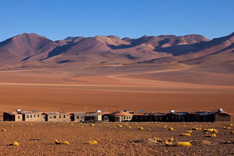
Where to Stay: There are no large hotels or conventional resort facilities inside Eduardo Avaroa. Accommodation is generally simple and adapted to the remote high-altitude environment, other options include:
-
Basic community accommodation in Quetena Chico and Quetena Grande
-
Simple refugios and lodges used by organised tours
-
Hotels and hostels in Uyuni, before or after visiting the reserve
-
Accommodation in Tupiza for travellers using the southern route
Travel Tip: Eduardo Avaroa is a destination for travellers who want to experience Bolivia at its wildest and most dramatic. Travel responsibly. Respect local communities, protect wildlife, avoid littering and follow the rules of the protected area.
AMBORÓ NATIONAL PARK
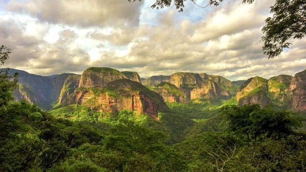
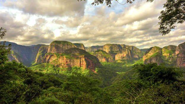
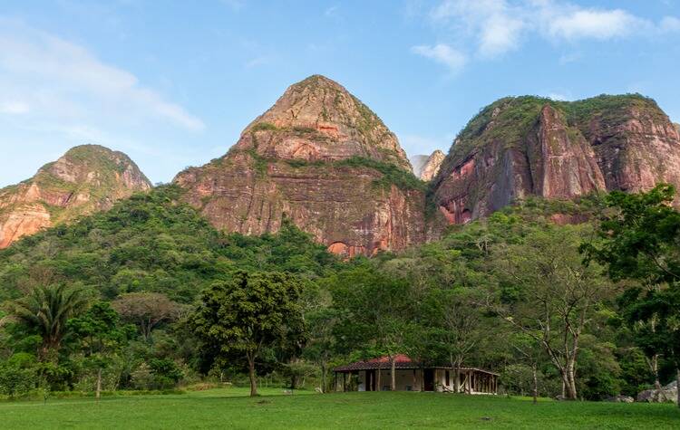
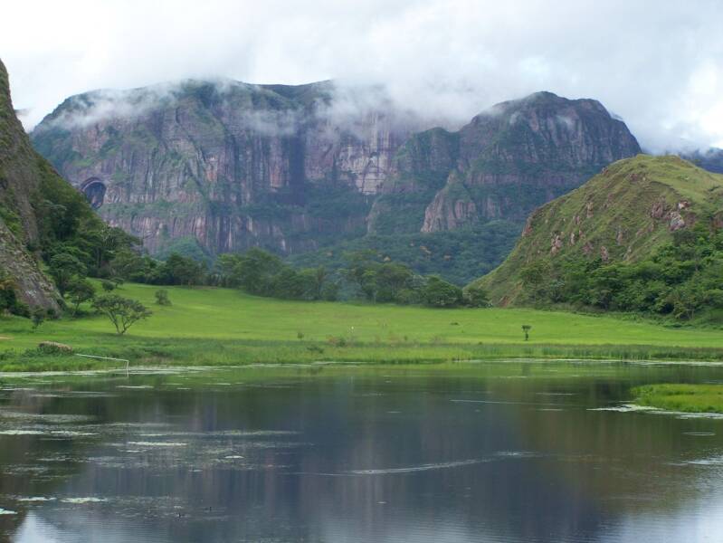
Amboró National Park is one of Bolivia’s most remarkable, protected areas, where the Andes, Amazon and northern Chaco meet to create an extraordinary mosaic of ecosystems. Covering approximately 4,425 km², the park stretches from tropical lowlands to high mountain forests and is renowned for its exceptional biodiversity. It is often described as the “Elbow of the Andes”, reflecting the distinctive change in direction of the mountain range.
Highlights
-
Giant Fern Forests – spectacular highland forests dominated by ancient tree ferns.
-
Cloud and Yungas Forests – lush mountain landscapes rich in orchids, bromeliads and other plants.
-
Los Volcanes – dramatic rock formations, valleys and forest scenery.
-
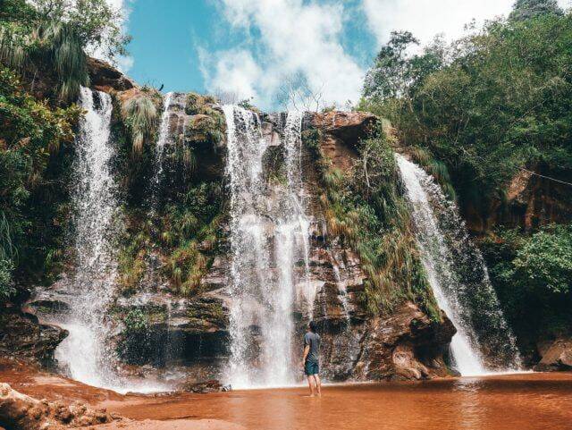
Jardín de las Delicias – known for its waterfalls and natural landscapes.
-
La Chonta and Saguayó – popular northern access areas for rainforest, hiking and wildlife experiences.
-
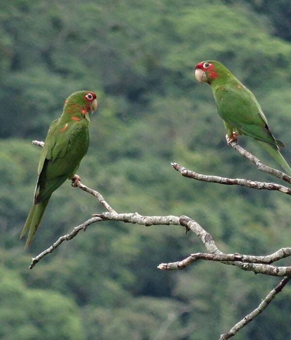
Exceptional birdwatching – more than 800 bird species have been recorded in the wider park area.
Location: Amboró National Park is located in the Santa Cruz Department of central Bolivia, on the eastern slopes of the Andes. The park extends across several municipalities, including Buenavista, San Carlos, Yapacaní, Comarapa, Samaipata, Mairana, Pampa Grande, El Torno and Porongo. The park has two principal tourism approaches: the northern lowlands, generally accessed from Buena Vista, and the southern highlands, with Samaipata serving as an important gateway.
Weather & Climate: Amboró has a highly varied climate because of its considerable changes in altitude and landscape. The north is generally warmer, more humid and tropical, while the southern and higher areas are cooler and more temperate. The rainy season generally runs from October to April, with heavier rainfall around January, while May to September is generally drier and cooler. Conditions can change considerably between the lowlands and mountain areas, from warm, humid conditions to cooler weather at higher elevations.
Altitude: The park has an exceptional altitudinal range, from approximately 300 metres to 3,338 metres above sea level. Most of the park lies between 1,000 and 2,000 metres, this dramatic variation in elevation is one of the main reasons for Amboró's extraordinary ecological diversity.
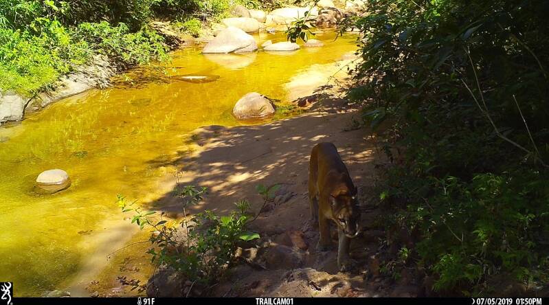
Nature & Wildlife: Amboró protects a remarkable combination of Amazonian rainforest, Yungas and cloud forests, montane forests, Chiquitano dry forest and Chaco environments. Its flora includes thousands of plant species, with orchids, bromeliads, palms and giant tree ferns among its most distinctive features. Wildlife includes jaguar, puma, spectacled bear (Andean bear), tapir, deer, monkeys and numerous smaller mammals, alongside an exceptional variety of birds, reptiles, amphibians and fish. Official Bolivian tourism information reports around 820 bird species, 127 mammals, 105 reptiles, 109 fish species and nearly 3,000 plant species.
Indigenous & Local Communities: Amboró is surrounded by rural and local communities whose culture and traditions are closely connected with the forests, rivers and agricultural landscapes around the protected area. Community-based tourism can provide opportunities to experience local knowledge, traditional foods, agricultural practices and the relationship between people and the natural environment. Indigenous communities historically connected with Amboró include: Yuracaré, Yuqui, Chiquitano (Churapa), Guarayo and Guaraní, although there are also Quechua and Aymara communities and migrant populations around the park, particularly in municipalities such as Yapacaní and Buena Vista, but these are different from the Indigenous peoples with historical roots in the Amboró area.
Best Time to Visit:
- May to September is generally considered the best period for visiting Amboró, particularly for hiking, wildlife observation and exploring forest trails. The drier conditions can make trails easier to access, although weather remains variable because of the park's different elevations.
- The rainy season can produce greener landscapes and impressive waterfalls, but some trails and access routes may become more challenging.
How to Get There: Amboró can be reached through several gateways depending on the area visitors want to explore.
- Northern access: Travel from Santa Cruz de la Sierra towards Buena Vista, with additional access points around Santa Fe and Yapacaní.
- Southern access: From Santa Cruz, travellers can reach Samaipata, Mairana, Pampa Grande, Comarapa or El Torno and access different parts of the southern park area. Samaipata is particularly convenient for combining Amboró with the region's cultural and archaeological attractions.
Where to Stay: Accommodation is concentrated mainly in the towns and communities surrounding the park rather than deep inside the protected area.
- Buena Vista – a convenient base for exploring the northern rainforest and accessing attractions such as La Chonta and nearby waterfalls.
- Samaipata – an excellent southern base with a wide selection of accommodation, restaurants and tourism services. It is also ideal for combining Amboró with El Fuerte de Samaipata, a UNESCO World Heritage Site.
- Eco-lodges and rural accommodation – selected areas around the park offer nature-oriented lodges and community or rural stays, providing a more immersive experience while supporting local economies.
Travel tip: Accommodation and guide availability can be limited in more remote areas, so advance planning is recommended, particularly during peak travel periods.
TOROTORO NATIONAL PARK
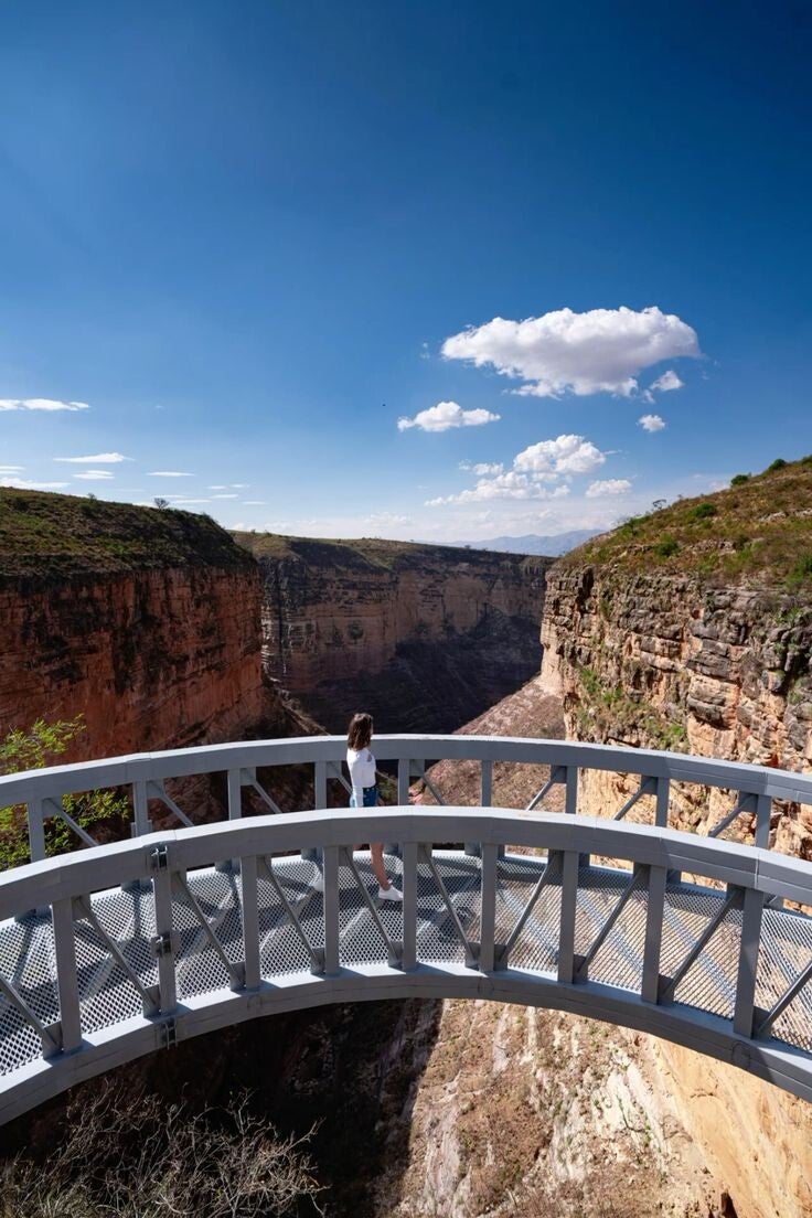
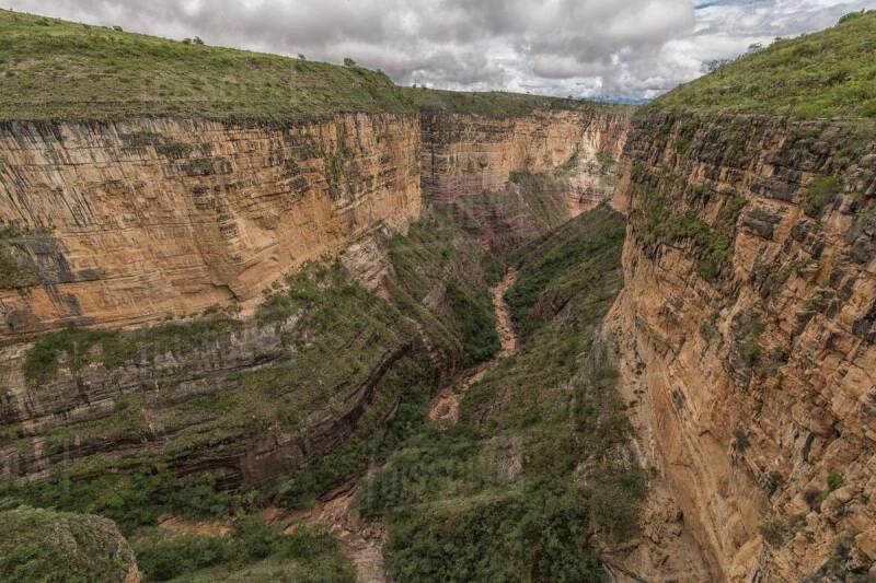
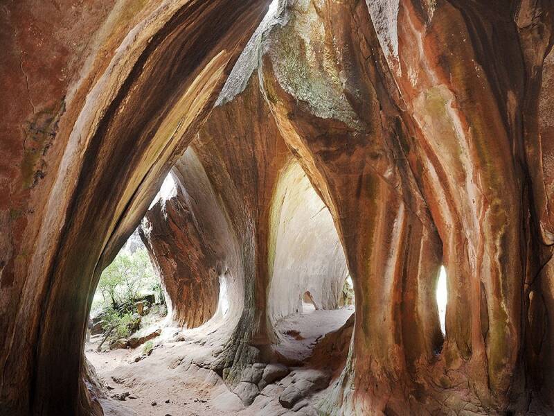
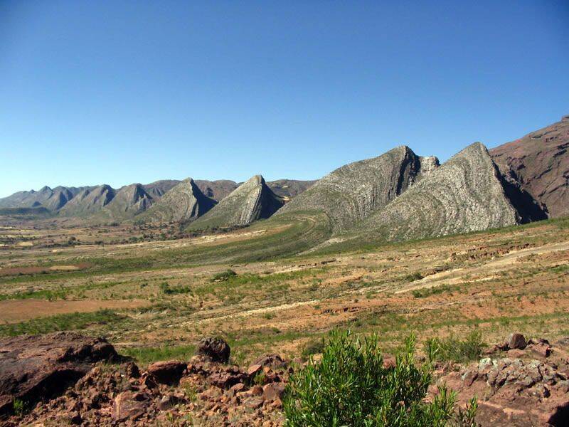
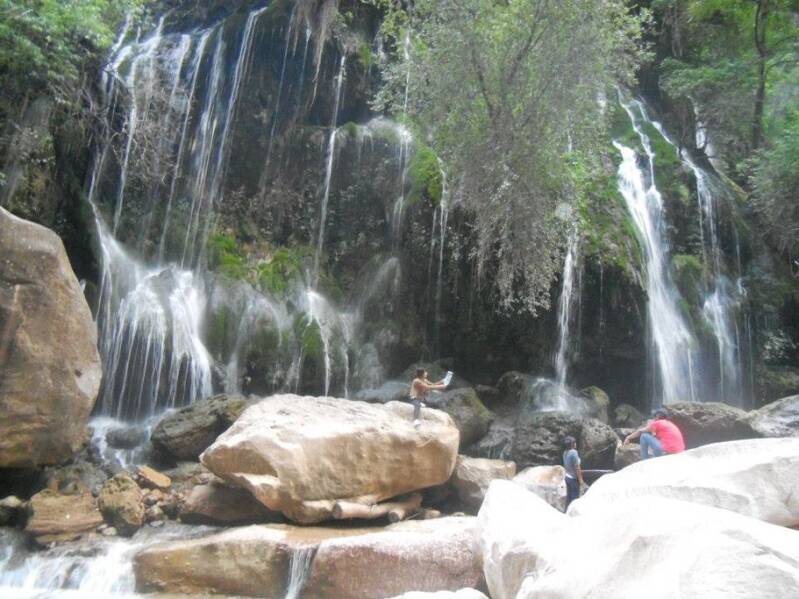
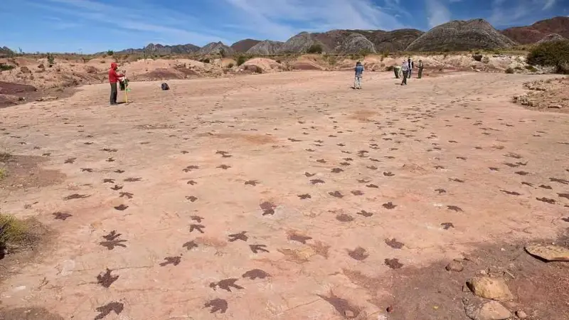
Torotoro National Park is one of Bolivia’s most remarkable destinations for nature, geology, paleontology and adventure. Located in the northern part of Potosí Department, the park is famous for spectacular canyons, caves, waterfalls, rock formations, fossils and some of South America’s most impressive dinosaur footprints. Established as a national park in 1989, Torotoro also protects important archaeological and cultural heritage and supports tourism that benefits local communities.
Highlights
-
Dinosaur footprints – Hundreds of preserved dinosaur tracks provide evidence of prehistoric life in the region.
-
Cañón de Torotoro and El Vergel – Dramatic canyon landscapes ending in the beautiful El Vergel waterfall area.
-
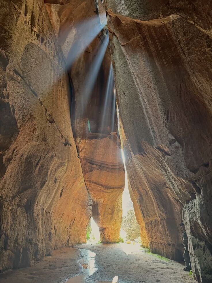
Caverna de Umajalanta – An extensive limestone cave system with stalactites, stalagmites and underground water.
-
Ciudad de Itas – An extraordinary landscape of enormous rock formations resembling a natural stone city.
-
Fossils and geology – Marine fossils and geological formations reveal millions of years of Earth's history.
-
Llamachaki – An archaeological site associated with the region's Quechua cultural heritage.
-
Wildlife and native vegetation – The park protect species characteristic of Bolivia's dry inter-Andean valleys.
-
Community-based tourism – Local communities participate in accommodation, guiding and tourism services.
Location: Torotoro National Park is located in Charcas Province, northern Potosí Department, in the eastern ranges of the Andes. Although it belongs administratively to Potosí, the park is most easily accessed from Cochabamba, approximately 138–140 km away. The town of Torotoro serves as the principal gateway for visitors.
Weather & Climate: Torotoro has a generally temperate, dry inter-Andean climate, with considerable variation according to altitude. The lower valleys are warmer and drier, while higher areas are cooler.
-
Average temperatures: approximately 12–20°C around the town of Torotoro.
-
Rainy season: generally, December to March, when landscapes become greener and waterfalls are more active.
-
Dry season: approximately April to October, with clearer skies and generally better conditions for hiking.
-
Winter: June to August can bring cold mornings and evenings, particularly at higher elevations.
Altitude: The town of Torotoro sits at approximately 2,676 metres (8,780 ft) above sea level. Across the wider national park, elevations vary considerably, with landscapes ranging from roughly 1,900 to 3,850 metres.
Nature & Wildlife: Torotoro protects a distinctive landscape of dry valleys, mountains, canyons, caves and limestone formations. Its varied elevations create several ecological environments and support a diverse range of plants and animals. Wildlife includes Andean condors, viscachas, foxes and other native mammals and birds. The caves also contain specialised species, including small blind fish recorded in Umajalanta Cave. Native vegetation includes species adapted to the dry valleys, while the park is also recognised for distinctive plants such as kewiña and other native flora.
Indigenous Communities & Culture: Torotoro is a living cultural landscape, where local rural communities coexist with the protected area. Research on the park identifies 10 rural communities within the national park, alongside the urban population of Torotoro. The region has a strong Quechua cultural heritage, reflected in local traditions, agriculture, community organisation, food, language and relationships with the landscape. Torotoro is not only as a destination for dinosaurs and geological wonders, but also as an opportunity to experience living Quechua culture and support locally based tourism.
Best Time to Visit:
-
The dry season from April to October is generally the most convenient period for hiking, exploring the caves and visiting the main attractions, because rainfall is lower and trails are usually easier to access.
-
May to September can be particularly attractive for travellers seeking clearer skies and comfortable daytime temperatures. The rainy season, particularly December to March, brings greener scenery and more flowing water but can make some roads and trails more challenging.
Tourism Experiences: Torotoro is ideal for travellers interested in:
-
Paleontology and dinosaur history
-
Geology and natural landscapes
-
Hiking and trekking
-
Caves and underground exploration
-
Waterfalls and canyons
-
Photography
-
Archaeology and cultural heritage
-
Community-based tourism, local community members are increasingly involved, through providing accommodation, restaurants and cultural experiences.
How to Get There: The principal access route is from Cochabamba to Torotoro, a journey of approximately 138–140 km.
-
From Cochabamba: travel by road the journey generally takes around 4 hours, depending on road conditions.
-
Public transport: buses and shared transport are available, with journeys generally taking longer.
-
From Potosí: Torotoro is considerably farther away.
-
Inside the park: many attractions are reached by local transport, hiking routes and organised tours. Local guides are particularly important for specialised circuits such as caves and archaeological sites.
Where to Stay: The town of Torotoro provides the main base for exploring the national park, with hotels, guesthouses, hostels, restaurants and small locally operated accommodation. For a more community-focused experience, visitors can consider locally managed options such as Cabañas Umajalanta in Huayra K'asa and accommodation associated with community tourism initiatives around El Vergel. These projects help connect tourism with local culture and the conservation of the area's natural heritage.
Travel tip: Visitors should follow park regulations, use authorised local guides where required, stay on designated routes and respect wildlife, archaeological sites and community areas.
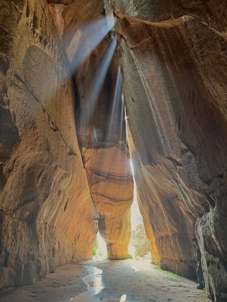
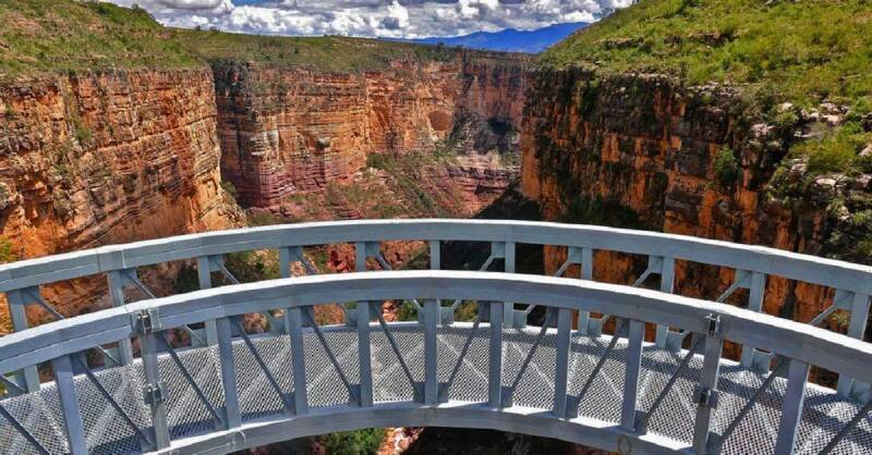
NOEL KEMPFF MERCADO NATIONAL PARK
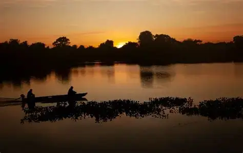
Noel Kempff Mercado National Park is one of the most remarkable, protected areas and a UNESCO World Heritage Site of Bolivia. Located in the remote northeast of Santa Cruz Department along the Brazilian border, the park protects more than 1.5 million hectares of exceptionally diverse landscapes, including Amazonian rainforest, cerrado savannah, wetlands, rivers, lagoons and the dramatic Huanchaca (Caparú) Plateau. Its exceptional biodiversity and relatively intact ecosystems make it one of Bolivia’s outstanding destinations for nature, wildlife and adventure tourism.
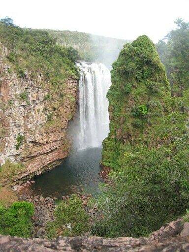
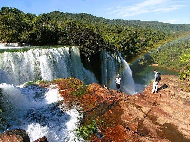
Highlights
-
Huanchaca (Caparú) Plateau – spectacular sandstone formations, cliffs and panoramic viewpoints reaching close to 1,000 metres.
-
Arco Iris Waterfalls – one of the park’s most iconic natural attractions.
-
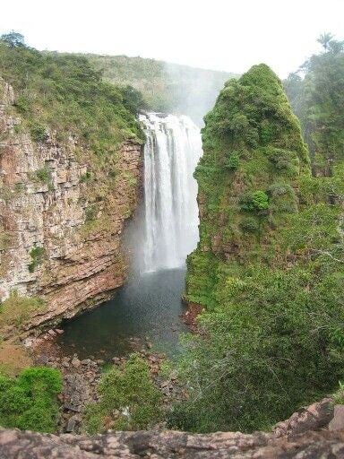
Federico Ahlfeld Waterfall – an impressive waterfall associated with the Paucerna River and Huanchaca Plateau.
-
El Encanto Waterfall – a dramatic waterfall beneath the Caparú Plateau.
-
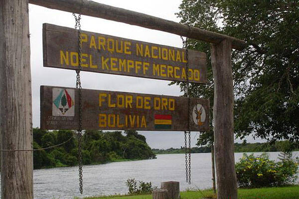
Flor de Oro – a traditional access and tourism area on the Iténez River, offering opportunities for wildlife observation and river excursions.
-
Las Torres – striking rock formations and viewpoints overlooking the surrounding forest.
-
Mirador de los Monos – a scenic location associated with wildlife observation.
-
Laguna Chaplin – a beautiful lagoon where visitors can combine nature walks and boat excursions.
-
Amazonian rainforest and cerrado – an unusual combination of ecosystems supporting exceptional biodiversity.
Location: The park is situated in the northeastern part of Santa Cruz Department, within José Miguel de Velasco Province and the municipality of San Ignacio de Velasco, close to the Brazilian border. The park also extends into a small area of Beni Department. It is approximately 600–700 km from Santa Cruz de la Sierra, depending on the access route. Its eastern and northern boundaries are associated with the Iténez/Guaporé River and the Brazilian states of Mato Grosso and Rondônia.
Weather & Climate: Noel Kempff Mercado has a tropical climate, generally warm and humid, with a pronounced seasonal variation in rainfall. Rainfall is concentrated during the warmer months, while the dry season generally occurs from June to September. Annual precipitation varies considerably across sources and parts of the park, with estimates ranging from approximately 1,500 to 2,500 mm. Average temperatures are around 25–26°C, although occasional cold fronts known as surazos can cause temperatures to fall considerably for short periods during the dry season.
Altitude: The park has considerable variation in elevation, ranging approximately from 200 metres to nearly 1,000 metres above sea level. The highest areas are found around the Huanchaca/Caparú Plateau, which rises dramatically above the surrounding lowlands.
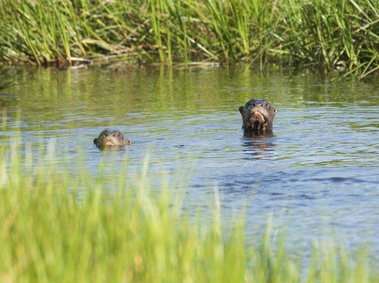
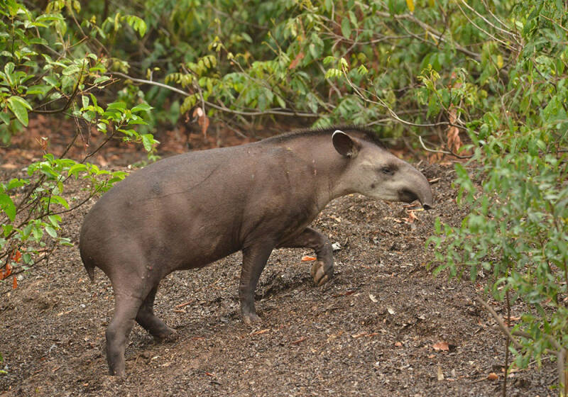
Nature & Wildlife: Noel Kempff Mercado is renowned for its extraordinary biodiversity. UNESCO identifies around 4,000 plant species and more than 600 bird species, while the park's varied habitats include evergreen rainforest, cerrado, wetlands, savannah, gallery forests and semi-deciduous forest. Wildlife includes jaguars, pumas, lowland tapirs, giant anteaters, giant armadillos, monkeys, deer and river otters, together with an exceptional variety of birds, reptiles, amphibians and insects. Birdwatching is particularly rewarding, with numerous parrots, macaws and other tropical species found throughout the park.
Indigenous Communities: There are no permanent population settlements inside the national park, but the surrounding area has important Indigenous communities, particularly people of Chiquitano and Guarasugwe origin. Communities such as Florida and Piso Firme have historically been connected with tourism and access to the park. Community-based tourism initiatives have included local guiding, canoe services, accommodation and other visitor services.
Best Time to Visit: The best period depends on the experience you want:
-
March to June: traditionally favourable for some river and waterfall excursions, with several attractions reported as particularly accessible during this period.
-
June to September: the drier season can make some land routes easier, while temperatures are generally more comfortable for hiking; however, occasional cold surazos can occur.
-
Rainy season: brings fuller rivers, lush vegetation and spectacular waterfalls, but road and access conditions can become more difficult.
Tourism & Things to Do: Noel Kempff Mercado is particularly suited for ecotourism, wildlife watching, birdwatching, photography, hiking, river excursions and adventure travel. Its remote character makes it especially attractive to travellers looking for less-developed destinations and exceptional natural landscapes. Visitors can explore forest trails, observe birds and wildlife, navigate rivers and lagoons, visit waterfalls and viewpoints, and learn about the ecosystems and conservation importance of the park.
How to Get There: Noel Kempff Mercado is one of Bolivia's more remote tourism destinations, and access requires careful planning.
- From Santa Cruz de la Sierra: visitors can travel by road towards Concepción, San Ignacio de Velasco and the communities around the park, with some routes continuing towards Florida or Piso Firme. From Piso Firme, river transport along the Paraguá and Iténez rivers provides access to parts of the park.
- By air: private or chartered flights have been used to reach tourism areas such as Flor de Oro and other landing strips, significantly reducing travel time. Availability can vary, so flights and landing arrangements should be confirmed before departure.
Where to Stay: Accommodation inside and around the park is limited and can be seasonal, some tourism facilities include the Flor de Oro and Los Fierros camps, while community-based tourism initiatives have operated around Florida and neighbouring communities. However, the condition and availability of these facilities can change, so accommodation should be confirmed before travelling. For travellers visiting from Santa Cruz, it may also be practical to combine the park with accommodation in San Ignacio de Velasco or other communities along the access route, depending on the itinerary.
Travel tip:: Noel Kempff Mercado is an expedition-style destination rather than a conventional national-park visit. Its remoteness, limited infrastructure and changing access conditions are part of the experience. Because conditions and tourism infrastructure can change, it is advised to confirm access, accommodation and park-entry arrangements with SERNAP or an experienced local operator before travelling.
CARRASCO NATIONAL PARK
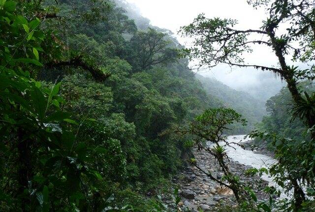
Carrasco National Park is one of Bolivia’s great biodiversity hotspots, stretching across the eastern slopes of the Andes in the department of Cochabamba. Established in 1991, the park protects a spectacular transition from high Andean landscapes to humid Yungas forests and tropical foothills. Its dramatic scenery includes cloud forests, deep valleys, rivers, waterfalls, caves and rugged mountain terrain. Covering approximately 622,600 hectares, Carrasco is an outstanding destination for nature lovers, birdwatchers, hikers and travellers seeking a less-explored side of Bolivia.
Highlights
-
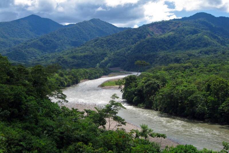
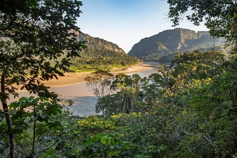
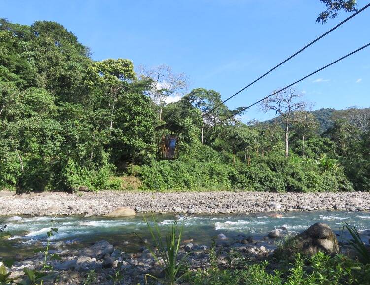
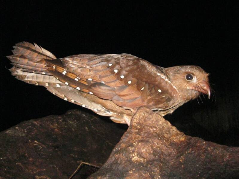
Cavernas del Repechón – spectacular caves associated with the nocturnal oilbird, or guácharo.
-
Yungas cloud forests – lush, mist-covered forests rich in orchids, bromeliads, palms and tree ferns.
-
Exceptional biodiversity – thousands of plant species and a remarkable variety of mammals, birds, reptiles and amphibians.
-
Mountain landscapes – dramatic ridges, deep valleys, waterfalls and fast-flowing rivers.
-
Wildlife watching – opportunities to look for spectacled bears, pumas, jaguars, tapirs, monkeys and many bird species.
-
Adventure and exploration – trekking, wildlife observation, photography, nature study and river-based activities are among the experiences associated with the region.
Location: Carrasco National Park is located in the eastern part of Cochabamba Department, extending across parts of the provinces of Carrasco, Chapare and Tiraque. Important access areas include Villa Tunari, Colomi, Tiraque, Totora, Pojo, Pocona and surrounding communities. The park forms part of the ecological transition between the Andes and the Amazonian lowlands.
Weather & Climate: Carrasco has a highly varied climate because of its enormous altitudinal range. The higher southern areas can be cool and cold, while the lower northern foothills are warm, humid and tropical. The Yungas and cloud-forest zones receive particularly heavy rainfall, with some areas receiving more than 5,000 mm of rain annually. The rainy season generally runs from November to April, while the relatively drier period is approximately May to July.
Altitude: The park has one of Bolivia’s most impressive altitude gradients, ranging approximately from 280 metres to 4,717 metres above sea level. This dramatic variation creates several different ecosystems, from high Andean environments and cloud forests to humid subtropical and lowland forests.
Nature & Wildlife: Carrasco is recognised for its exceptional biological diversity. Its forests contain orchids, giant ferns, palms, cedar, walnut, mahogany and other native trees. Around 3,000 plant species have been estimated for the area. Wildlife includes the spectacled bear (jucumari), jaguar, puma, tapirs, deer, monkeys and numerous reptiles and amphibians. The park is also an important destination for birdwatching, with parrots, toucans, hummingbirds and the distinctive oilbird (guácharo) among the species associated with the area.
Indigenous Communities: The wider Carrasco and Chapare region have a strong indigenous heritage, particularly associated with the Yuracaré and Yuquis, alongside predominantly Quechua-speaking communities in the surrounding municipalities. The Yuracaré Indigenous Territory extends through parts of Villa Tunari and Chimoré, while the Yuqui Indigenous Territory is associated with Chimoré and Puerto Villarroel. These communities represent an important part of the cultural landscape surrounding Carrasco and the tropical Cochabamba region.
Best Time to Visit: More favourable conditions for outdoor activities, are generally during the drier months from May to July, particularly for exploring trails and visiting the tropical foothills. However, Carrasco is a rainforest and cloud-forest environment, so rain can occur throughout the year. The wetter months can be rewarding for visitors interested in lush vegetation, waterfalls and rainforest scenery, but trails and access roads may become more difficult.
Tourism experiences : Carrasco is particularly suited to nature-based and responsible adventure tourism, including:
-
Forest and mountain trekking
-
Birdwatching and wildlife observation
-
Nature photography
-
Visiting caves and waterfalls
-
Botanical and ecological excursions
-
Cultural and community-based tourism
-
River and rainforest exploration
How to Get There: The principal approach from Cochabamba is along the Cochabamba–Santa Cruz highway, passing through areas such as Colomi and reaching Villa Tunari in the tropical foothills. Alternative approaches connect with the park from the old Cochabamba–Santa Cruz road through Totora, Pojo and Sehuencas.
- From Cochabamba: Travel east towards Colomi and Villa Tunari. Depending on the area being visited, travellers can continue to local access points and community-based tourism sites.
- From Santa Cruz: Travel west towards Villa Tunari and the Chapare region before continuing towards the selected entrance or attraction.
Because access varies considerably between different sectors of the park, visitors should arrange transport and local guiding in advance. Some internal roads and tracks can become difficult during heavy rainfall.
Where to Stay: There are limited accommodation options inside the protected area itself, so most visitors stay in nearby towns and communities.
- Villa Tunari is the main tourism base for exploring the northern and tropical side of Carrasco, offering a range of hotels, ecolodges, guesthouses and restaurants.
- Colomi and Tiraque are useful bases for exploring higher-altitude landscapes and the southern approaches to the park.
- For a more immersive experience, community-based accommodation and local ecolodges can provide opportunities to learn about the area's forests, wildlife and indigenous cultures while supporting local economies.
Travel tips: Carrasco National Park offers an extraordinary journey from the high Andes into the humid forests of the Amazonian foothills. Because Carrasco is a large and rugged protected area, it is recommended to use established routes and hire experienced local or authorised guides, particularly when travelling beyond the main visitor areas.
TUNARI NATIONAL PARK
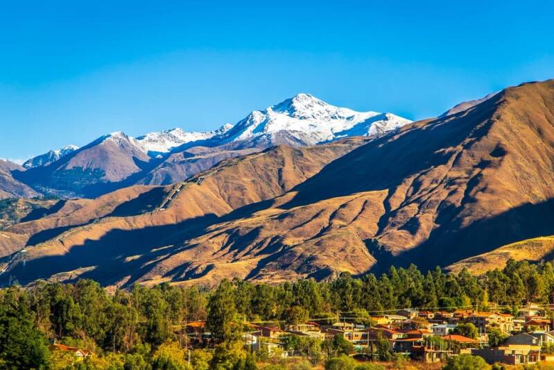
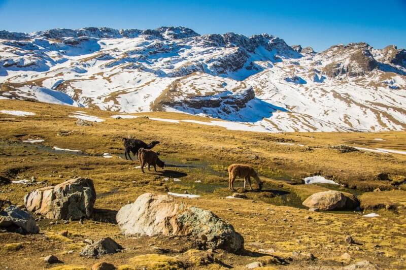
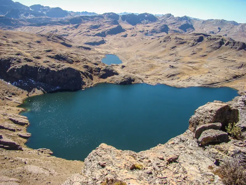
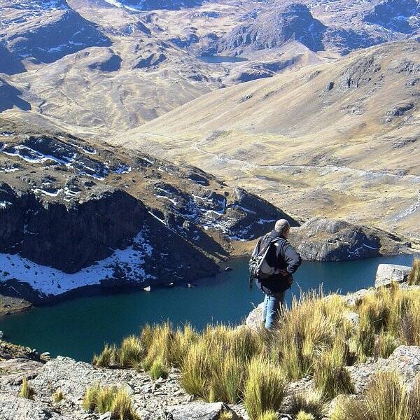
Tunari National Park is one of the most important, protected areas in Cochabamba, stretching across the dramatic Cordillera del Tunari north of Cochabamba city. The park combines high Andean landscapes, valleys, grasslands, native queñua (Polylepis) forests, lagoons and mountain ecosystems. Its highest point, Cerro Tunari, rises to approximately 5,200 metres above sea level, making it an impressive destination for nature, hiking, photography and mountain tourism. The park is also an important source of water for the Cochabamba valleys.
Highlights
-
Cerro Tunari – the highest summit in the Cordillera del Tunari, at around 5,200 m.
-
Andean landscapes – spectacular mountain scenery, valleys, high-altitude grasslands and rocky peaks.
-
Queñua forests – native high-Andean forests that provide habitat for specialised wildlife.
-
High-altitude lagoons – including scenic mountain lagoons such as Wara Wara and Larati.
-
Wildlife watching – opportunities to observe Andean birds and mammals.
-
Ecotourism and hiking – nature walks, trekking, photography and scenic viewpoints.
-
Liriuni hot springs – a popular recreational attraction near Quillacollo.
-
Traditional rural landscapes – agricultural areas and communities surrounding the protected area.
Location: Tunari National Park is located in the Department of Cochabamba, immediately north and northwest of Cochabamba city. The protected area extends across parts of the provinces of Cercado, Quillacollo, Chapare, Tapacarí and Ayopaya, covering roughly 3,090 km².
Weather & Climate: The park has a highly variable climate because of its considerable changes in elevation. Lower mountain slopes and valleys have a relatively mild, dry climate, while the higher areas are colder and more humid. Average temperatures on the mountain slopes can be around 12°C, with temperatures potentially falling below freezing at high elevations. The mountain zone has an average temperature of approximately 6.5°C and receives considerably more precipitation. The dry season from May to October generally provides clearer skies and more favourable conditions for hiking and sightseeing. The rainy season from November to April brings greener landscapes but can make some mountain roads and trails more difficult.
Altitude: Tunari is an exceptionally high-altitude destination. Elevations range from approximately 2,500 metres to more than 5,200 metres above sea level, with Cerro Tunari reaching around 5,200 m.
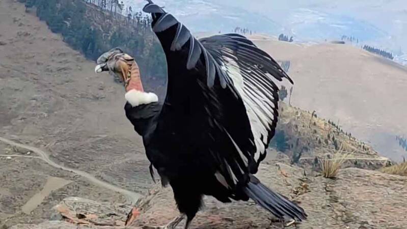
Nature & Wildlife: Tunari protects a variety of Andean ecosystems, including Puna, high-Andean grasslands, dry inter-Andean valleys and native queñua forests. These habitats support a diverse range of plants and animals. More than 30 mammal species and 163 bird species have been recorded in the park, along with reptiles and amphibians. Wildlife associated with the region includes Andean condors, vizcachas, llamas, alpacas and Andean geese. The park is also important for specialised and threatened Andean birds, including the mountain finch and Andean hummingbirds.
Indigenous Communities & Local Culture: The landscapes around Tunari are closely connected with Quechua-speaking rural communities, whose way of life traditionally include agriculture, livestock raising and the use of local natural resources. Farming terraces cultivated fields and traditional rural landscapes can be found around parts of the protected area. For visitors, community-based experiences can provide an opportunity to learn about Andean agriculture, local food, traditional knowledge and the relationship between mountain communities and their environment.
Tourism experiences: Tunari offers a variety of nature-based experiences including:
-
Hiking and mountain walks
-
Trekking and scenic excursions
-
Birdwatching
-
Nature photography
-
Ecotourism
-
Mountain and landscape sightseeing
-
Visits to high-altitude lagoons
-
Rural and community experiences
-
Visiting Liriuni hot springs
-
Exploring nearby attractions such as the Chocaya ecotourism area and Inca Rakay archaeological site.
Best Time to Visit: May to October is generally the best period for hiking, mountain scenery and outdoor activities because of the drier conditions and clearer skies. June to August can offer particularly clear views, although temperatures at high elevations can be very cold. The November to April rainy season can produce greener landscapes and impressive mountain scenery, but rainfall may affect unpaved roads and trails.
How to Get There: Tunari National Park can be accessed from Cochabamba by road, making it one of the most accessible protected natural areas for visitors staying in the city. Different entrances and attractions can be reached through roads leading towards the northern valleys and mountain communities. For higher-altitude excursions, it is advisable to travel with an experienced local guide or organised tour, particularly where roads and trails are less clearly marked.
Where to Stay: Accommodation within the protected mountain areas is limited, ,ost visitors use Cochabamba city as their base, where there is a wide choice of hotels, guesthouses and restaurants. Staying in Tiquipaya, Quillacollo or nearby rural communities can provide easier access to particular attractions and a more local experience.
Travel Tips:
-
Acclimatise first: Cochabamba itself is at high altitude, and the higher areas of Tunari are considerably higher.
-
Check conditions: Mountain weather can change rapidly, especially at higher elevations.
-
Dress in layers: Temperatures can vary significantly between sunny and shaded areas.
-
Use sun protection: UV exposure is strong at high altitude.
-
Carry sufficient water and food for excursions away from populated areas.
-
Use a local guide for challenging or unfamiliar mountain routes.
-
Respect local communities: Ask before photographing people, homes, farms or ceremonies.
-
Protect the environment: Take rubbish with you and avoid damaging native vegetation.
-
Travel responsibly: Support local guides, community businesses and conservation initiatives.
-
Avoid leaving marked routes where conditions are uncertain or where local guidance advises against it.
ISIBORO SÉCURE NATIONAL PARK & INDIGENOUS TERRITORY (TIPNIS)
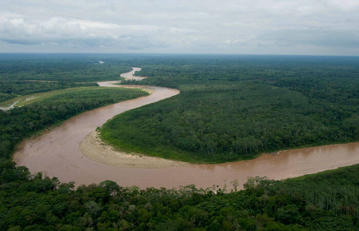
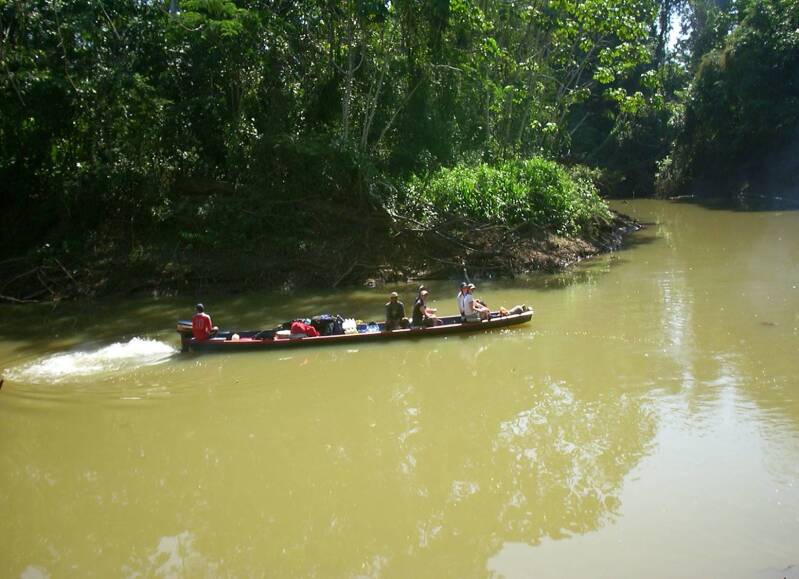
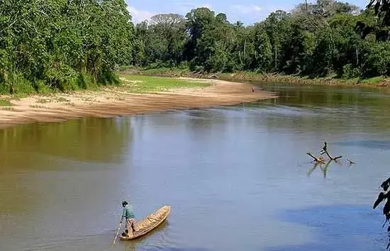
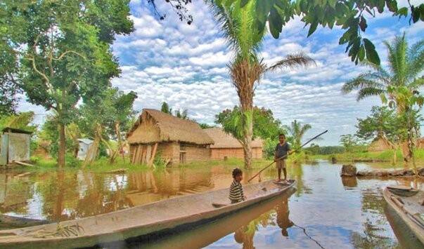
Isiboro Sécure National Park and Indigenous Territory, commonly known as TIPNIS, is one of Bolivia’s most important protected natural and cultural landscapes. Located between the departments of Beni and Cochabamba, it combines tropical rainforest, Yungas and mountain forests, wetlands, rivers and flooded savannas. It is both a national park and an officially recognised Indigenous Territory, making conservation and indigenous culture central to its identity.
Highlights
-
Vast Amazonian and Yungas forests
-
Transition zone between the Andes and the Amazon lowlands
-
Isiboro, Sécure and Ichoa rivers
-
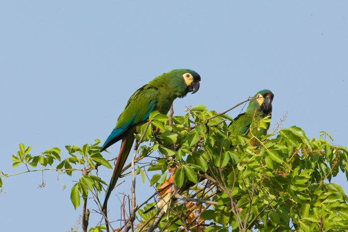
Exceptional wildlife and bird diversity, with more than 600 recorded bird species.
-
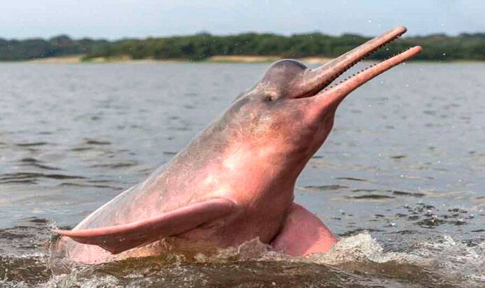
Opportunities to observe freshwater dolphins along the rivers
-
Indigenous communities with strong connections to the forest and rivers
-
One of Bolivia's important areas for biodiversity and ecosystem conservation.
Location: TIPNIS extends across the southern part of Beni and northern Cochabamba. Important access areas include San Ignacio de Moxos and Loreto in Beni, and Villa Tunari/Chimoré in Cochabamba. The park's principal rivers are crucial for transportation routes through the territory.
Weather & Climate: The climate varies considerably, the lowlands are generally hot, humid and rainy, while higher areas become cooler and more temperate. Average annual temperatures range from approximately 15°C in the higher mountain areas to around 32°C in the foothills and forested lowlands, with the northern Moxos plains averaging about 25°C. Annual rainfall commonly ranges between 1,900 and 3,500 mm, depending on the area. Cold fronts known locally as surazos can affect the region during the dry winter months.
Altitude: TIPNIS has an exceptional altitudinal range, from approximately 180 metres to 3,000 metres above sea level. Much of the central territory lies at roughly 300–400 metres, while the southern and western sections rise into the Andean foothills.
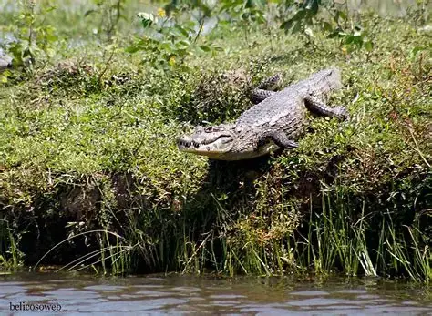
Nature & Wildlife: The park contains a remarkable combination of Amazonian rainforest, Yungas/cloud forest, mountain vegetation, wetlands and seasonally flooded savannas. Official Bolivian tourism information highlights thousands of plant species and hundreds of animal species. Wildlife includes jaguar, puma, ocelot, giant river otter, capybara, monkeys, caiman, freshwater fish and numerous bird species. The rivers are particularly important for wildlife observation, including the Bolivian river dolphin.
Indigenous Communities & Culture: TIPNIS is the ancestral territory of the Mojeño-Trinitario, Tsimané (Chimán) and Yuracaré peoples. Indigenous communities that have traditionally maintained close relationships with the rivers and forests through fishing, hunting, agriculture, gathering, handicrafts and knowledge of medicinal plants. The territory is legally recognised as belonging to these Indigenous people.
Tourism Experiences: For visitors travelling with appropriate local or community arrangements, TIPNIS can offer:
-
River journeys along the Isiboro - Sécure rivers
-
Birdwatching and wildlife observation
-
Rainforest and nature exploration
-
Traditional fishing experiences, where permitted
-
Nature and landscape photography
-
Learning about Indigenous Forest knowledge and conservation through Community-based cultural experiences
-
Freshwater wildlife observation
Bolivia's official tourism portal specifically identifies ecotourism, nature tourism, experiential tourism, cultural tourism, ornithological tourism and community-based experiences as opportunities in the wider Beni/TIPNIS region.
Best Time to Visit: The drier winter period, roughly May to October, is generally more favourable for travelling because rainfall is lower and river and trail conditions can be more manageable. However, conditions vary considerably between locations. The rainy season can make travel more difficult but also brings fuller rivers, lush vegetation and excellent opportunities to experience the rainforest.
How to Get There: TIPNIS is a remote destination and does not have the straightforward tourist infrastructure found in destinations such as Madidi or Uyuni. Access is primarily through river routes and local community arrangements.
-
From Beni: river access can be arranged using routes connected with the Mamoré, Sécure and Isiboro river systems.
-
From Cochabamba: access to the southern area is possible through the Chimoré/Villa Tunari region, with further travel requiring local arrangements.
-
Some communities have small airstrips, but access is highly dependent on local conditions.
Where to Stay: Accommodation inside TIPNIS is limited to community-based rather than conventional hotel accommodation. Visitors should arrange stays with recognised local communities or use accommodation in gateway destinations such as Trinidad, San Ignacio de Moxos, Villa Tunari or other nearby towns, depending on the route.
Travel Tips
-
Travel with an experienced local guide or authorised community operator.
-
Allow extra time because river travel and weather can affect schedules.
-
Respect Indigenous community rules, customs and photography preferences.
-
Bring lightweight, quick-drying clothing, sturdy footwear, rain protection and insect protection.
-
Carry sufficient drinking water and essential personal supplies.
-
Avoid visiting independently without confirming access and local conditions beforehand.
-
Keep the environment clean and avoid disturbing wildlife.
-
Remember that TIPNIS is a living Indigenous territory as well as a protected area; respect for communities is as important as respect for nature.
TIPNIS is best suited to travellers looking for an authentic, low-impact Amazon experience rather than conventional mass tourism.
APOLOBAMBA NATURAL AREA OF INTEGRATED MANAGEMENT
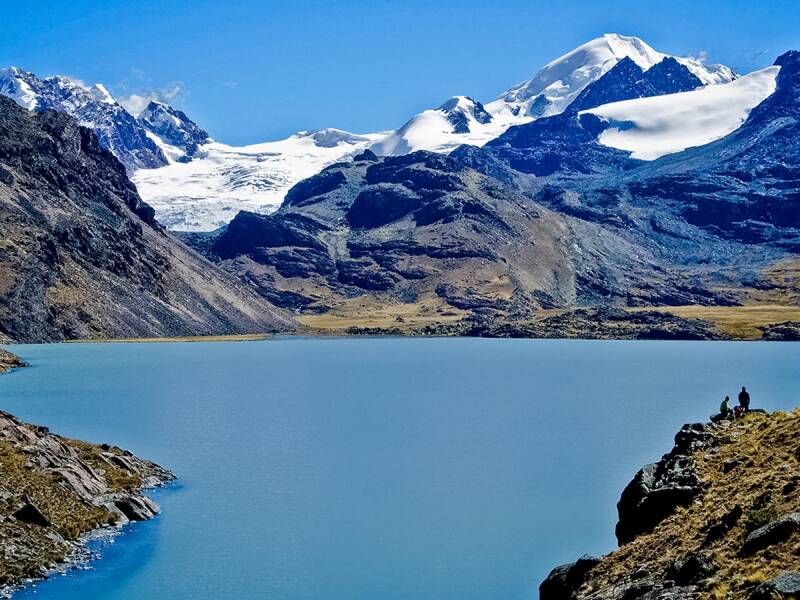
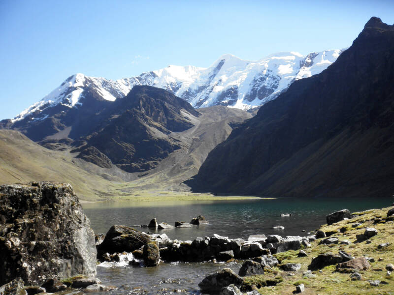
Apolobamba National Natural Area of Integrated Management (ANMI Apolobamba) is one of Bolivia’s most spectacular high-Andean protected areas. Stretching from the snow-capped peaks of the Apolobamba Cordillera into the Yungas mountain forests, the area protects an extraordinary range of landscapes, wildlife and living cultures. It was originally established to protect threatened vicuña populations and was recognised by UNESCO as a Biosphere Reserve in 1977
Highlights
-
Snow-capped peaks and dramatic landscapes of the Apolobamba Cordillera
-
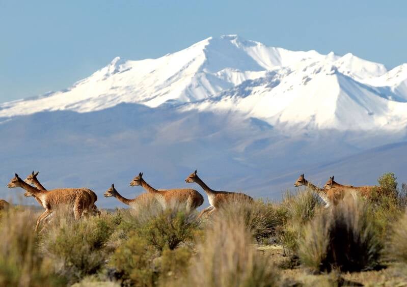
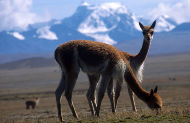
One of Bolivia’s important habitats for vicuñas
-
High-Andean plains, puna, tundra, lakes and mountain valleys
-
Yungas and montane forests at lower elevations
-
Traditional Kallawaya, Aymara and Quechua communities
-
Ancient trails, archaeological sites and pre-Columbian heritage
-
Community-based tourism and cultural experiences
-
Spectacular trekking routes around Charazani, Curva and Pelechuco
-
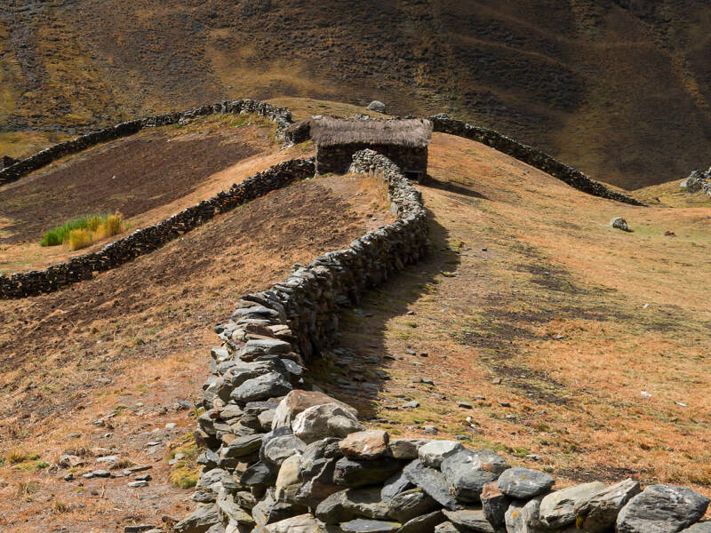
Traditional Andean agriculture and camelid-raising
-
Opportunities for wildlife watching, especially vicuñas and Andean birds
Location: Apolobamba is located in the remote northwest of La Paz Department, close to the Peruvian border, covering parts of the provinces of Bautista Saavedra, Franz Tamayo and Larecaja. Important gateway communities include Charazani, Curva and Pelechuco. The protected area is approximately 160 km northwest of La Paz.
Weather & Climate: Apolobamba has a highly varied climate because of its dramatic altitudinal range. The highlands are generally cold, dry and windy, with freezing temperatures possible at night. As the landscape descends towards the Yungas, conditions become progressively warmer and more humid. The dry season, generally May to September, offers the most favourable conditions for trekking and mountain exploration, with clearer skies and better visibility. The wet season can bring rain, cloud, muddy trails and difficult road conditions.
Altitude: The protected area covers an exceptional range of elevations, from approximately 800 metres in the lower Yungas and montane forests to around 6,000 metres in the high Cordillera. Major peaks include Chaupi Orko, around 6,040 m, Cololo at approximately 5,915 m and Huila Kollo at approximately 5,816 m. Because of this altitude variation, visitors can experience several ecosystems within a relatively small geographical area.
Nature & Wildlife: Apolobamba protects a remarkable transition from high-Andean ecosystems to mountain and Yungas forests. Its landscapes include puna, high-altitude wetlands, lakes, glaciers, inter-Andean valleys, montane forests and patches of Polylepis woodlands, the area is also important for the conservation of native Andean crops, including potatoes, oca, racacha, mauka, yacón, tarhui and isaño. Wildlife highlights include Vicuña, Andean condor, Andean bear (jucumari), Andean cat, Puma, Taruca or Andean deer, White-tailed deer, Andean waterfowl and other high-altitude birds.
Indigenous Communities & Culture: Apolobamba is particularly important for its living Andean cultures. Kallawaya, Quechua and Aymara communities living within and around the protected area, maintaining strong connections with the land, mountains, agriculture and traditional way of life. The Kallawaya are especially renowned for their ancestral knowledge of medicinal plants and traditional healing practices. Community life also includes camelid raising, agriculture, weaving and crafts making. The landscape contains ancient trails, archaeological remains and cultural sites that reflect the long history of human settlement in the region.
Tourism Experiences
-
Trekking & Mountain Trails: Explore spectacular high-Andean landscapes through routes connecting communities such as Curva, Charazani and Pelechuco. Longer treks combine mountain scenery, traditional villages and archaeological heritage.
-
Vicuña Watching: Visit areas around Ulla Ulla to observe vicuñas in their natural high-altitude habitat and learn about local camelid-raising and conservation initiatives.
-
Kallawaya Cultural and Community Experiences: Discover the traditions, knowledge and everyday life of Kallawaya communities through responsible, community-based tourism.
-
Mountain Landscapes: Enjoy views of snow-covered peaks, glacial landscapes, high-altitude lakes and valleys beneath the Apolobamba Cordillera.
-
Archaeology & Heritage: Explore pre-Columbian trails, ruins and archaeological sites that reveal the area's ancient cultural history.
Best Time to Visit: May to September is generally the best period for trekking, wildlife observation and mountain exploration because the dry season normally provides clearer skies and more stable trail conditions. For visitors interested in green landscapes and seasonal changes, the wetter months can offer a different experience, but travel conditions may be more challenging.
How to Get There: The principal access is from La Paz by road, travelling through Achacachi, Puerto Carabuco, Ancoraimes, Escoma and Wilakhala towards Charazani. From the Charazani area, roads and local routes provide access to different parts of Apolobamba, including the Ulla Ulla region. Public transport services from La Paz also operate towards Charazani. Because roads and local transport can be affected by weather, it is advisable to confirm current conditions before travelling.
Where to Stay: Accommodation within Apolobamba is generally small-scale and community-based, rather than large hotels. Visitors can find simple accommodation and community lodges around places such as Charazani, Curva, Caata, Pelechuco and Ulla Ulla, depending on the route and season. Some trekking routes include community accommodation. For greater accommodation choice, travellers can also base themselves in La Paz before and after visiting the region.
Travel Tips:
-
Prepare for altitude: Many areas are above 3,500 metres, so allow time to acclimatise.
-
Travel with an experienced local guide for remote trekking routes.
-
Check road and weather conditions before departure.
-
Carry warm, waterproof and layered clothing because conditions can change quickly.
-
Bring sun protection, water and sturdy walking footwear.
-
Keep a small emergency kit and sufficient food for remote journeys.
-
Respect local customs, sacred places and community rules.
-
Ask permission before photographing people or participating in cultural activities.
-
Avoid disturbing wildlife and never feed wild animals.
-
Carry out all rubbish and minimise your environmental impact.
-
Confirm current access and registration requirements with SERNAP before entering the protected area.
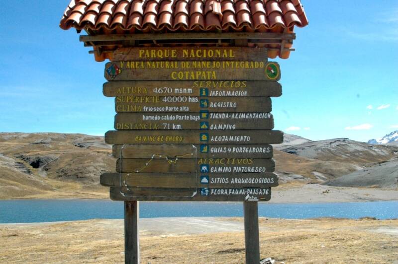
COTAPATA NATIONAL PARK & INTEGRATED MANAGEMENT NATURAL AREA
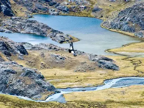
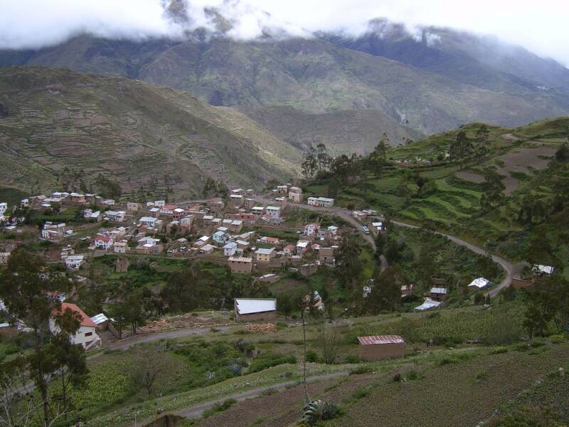
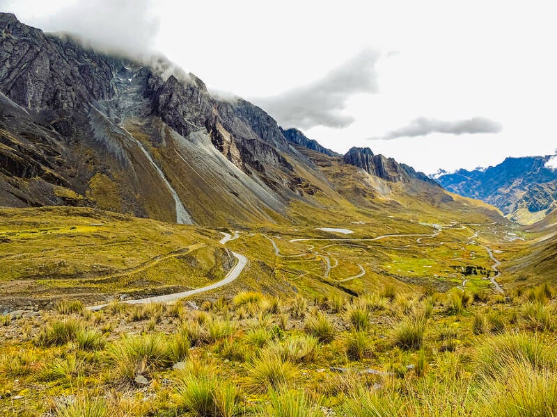
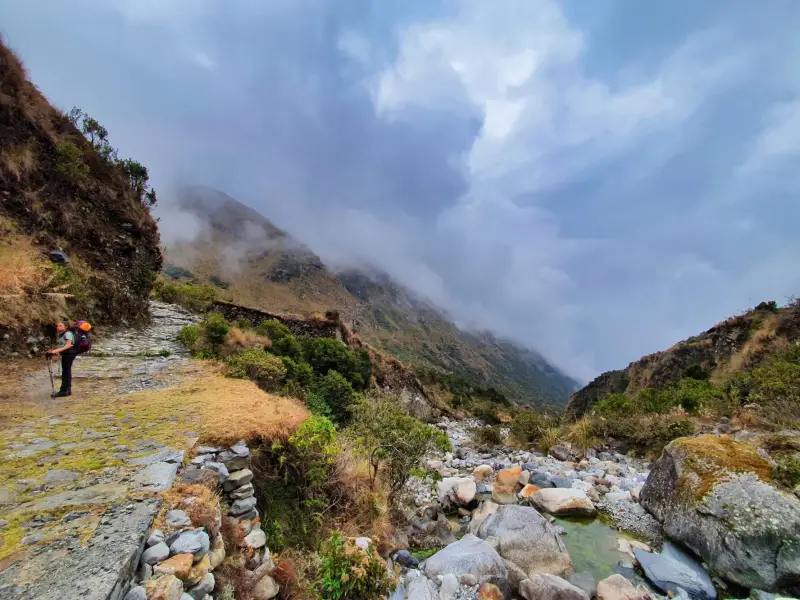
Cotapata National Park & Integrated Management Natural Area (PN-ANMI Cotapata) is a spectacular protected area where high Andean landscapes descend into the lush cloud forests of the Yungas. Its dramatic changes in altitude create an exceptional variety of ecosystems, landscapes, wildlife and plant species. The park also protects important archaeological heritage, including ancient pre-Columbian trails.
Highlights
-
El Choro Pre-Columbian Trail, one of the park’s most important cultural and trekking attractions.
-
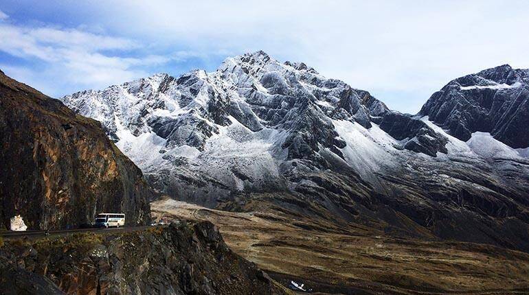
Snow-covered peaks, high-altitude valleys and mountain landscapes.
-
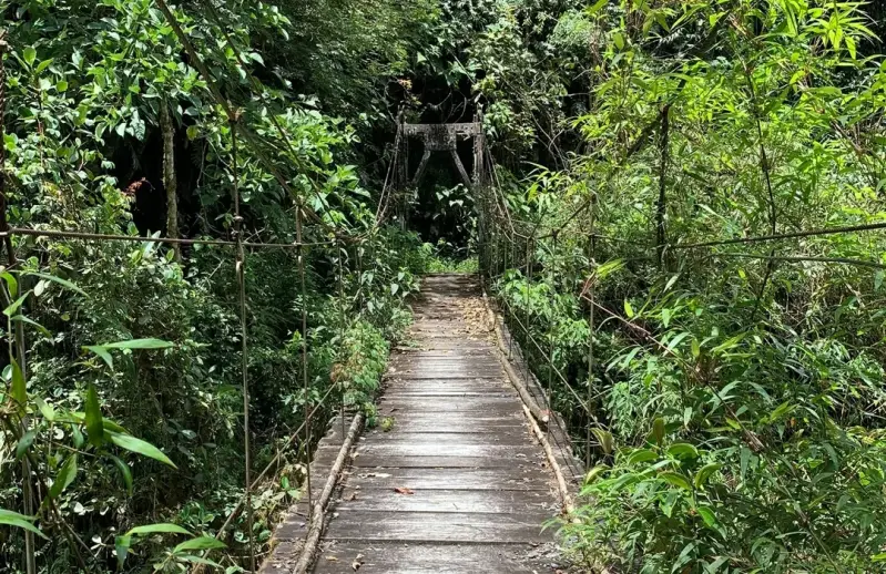
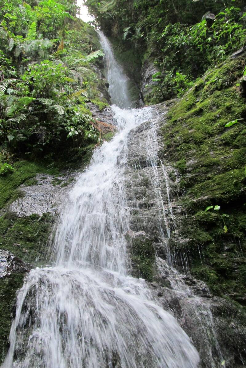
Lush Yungas cloud forests, waterfalls and deep river valleys.
-
Exceptional biodiversity, including orchids and other endemic plants.
-
Opportunities for birdwatching and wildlife observation.
-
Ancient agricultural terraces, archaeological remains and traditional settlements.
Location: Cotapata is located on the eastern slopes of Bolivia’s Cordillera Real, in the department of La Paz, northeast of La Paz city, extending across parts of Murillo and Nor Yungas provinces. The protected area involves the municipalities of La Paz, Coroico and Palca and forms an important transition between the high Andes and the Yungas.
Weather & Climate: Cotapata has highly varied weather because of its enormous altitude range. Conditions can change from cold and near freezing in the high mountains to warm and humid in the lower Yungas valleys. Average annual temperatures across the protected area range approximately from 7°C to 28°C. Rainfall increases substantially toward the cloud forests, with roughly 1,000 mm annually in some higher areas and more than 3,000 mm in the Yungas cloud-forest zone.
Altitude: The park extends from approximately 1,000 to 5,900 metres above sea level, creating a remarkable sequence of ecological zones, from high Andean and glacial environments to humid mountain forests.
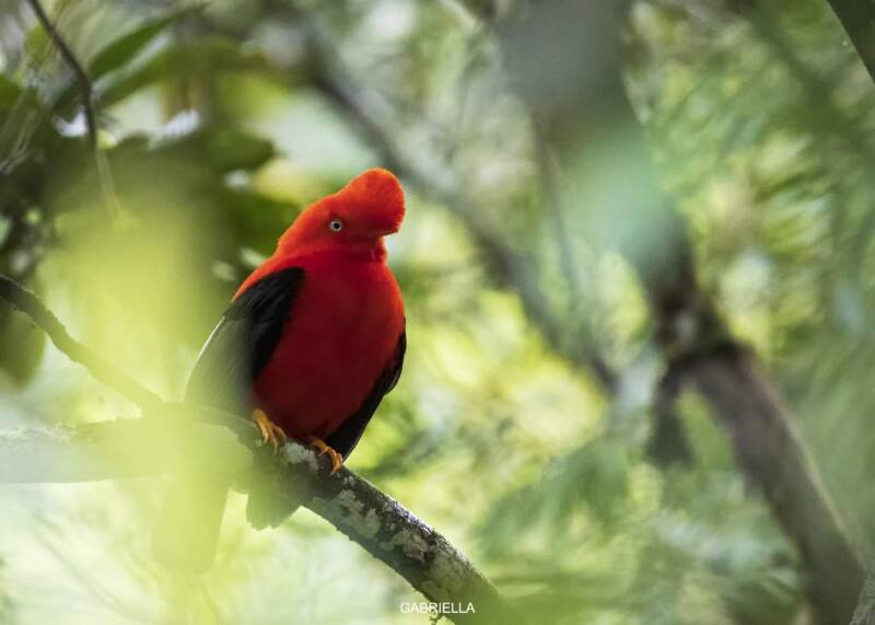
Nature & Wildlife: Cotapata is exceptionally rich in biodiversity, with more than 1,500 species of vascular plants recorded, including numerous endemic species, orchids, Polylepis forests, alders, cedars and mountain podocarps. Wildlife includes the Andean spectacled bear (jucumari), puma, Andean deer or taruca, spider monkey, pacarana, peccaries and several other mammals. The park is also an important destination for birdwatching, with hundreds of recorded bird species, including the spectacular Andean cock-of-the-rock and a variety of Yungas and high-Andean birds.
Indigenous Communities & Culture: Cotapata is a lived-in landscape containing numerous local communities rather than an uninhabited wilderness. SERNAP identifies 33 communities within the protected area across the municipalities of Coroico, La Paz and Palca. The region has strong Andean and Yungas cultural influences, with communities maintaining agricultural traditions and knowledge connected to the mountain environment. Traditional production includes crops such as potatoes, maize, yuca, racacha and walusa, alongside coffee, citrus and other commercial crops in lower areas. The protected area also preserves pre-Columbian trails, agricultural terraces and archaeological remains that reflect the long history of human settlement in the region.
Tourism Experiences:
-
Trekking & Hiking: Walk historic mountain routes, particularly the El Choro Pre-Columbian Trail, descending from the high Andes toward the Yungas.
-
Nature & Wildlife: Explore different ecological zones and look for Andean and Yungas wildlife, including birds, spectacled bears and other mammals.
-
Birdwatching: The extraordinary elevation gradient makes Cotapata particularly interesting for observing both high-Andean and cloud-forest bird species.
-
Cultural & Archaeological Tourism: Discover ancient pathways, agricultural terraces and the cultural landscape surrounding local communities.
-
Landscape Photography: Experience dramatic contrasts between snow-covered peaks, valleys, waterfalls and dense green cloud forests.
Best Time to visit: For trekking and hiking, May to October is generally the most favourable period because conditions are usually drier, particularly during the dry season. However, weather varies considerably with altitude, and cloud, rain and cold conditions can occur at any time. The wetter months can bring lush vegetation and impressive waterfalls, but trails may become slippery and more challenging.
How to Get There: Cotapata can be reached from La Paz via the road toward Coroico and the Yungas. Another important access route is through the Huarinilla Valley. For the El Choro trek, visitors can travel by bus or vehicle toward La Cumbre, then begin the pre-Columbian trail, eventually descending toward Chairo. Because conditions on mountain roads and trails can change, travelling with an experienced local guide is recommended, particularly for longer treks.
Where to Stay: Visitors can base themselves in La Paz or Coroico, depending on their itinerary. For trekking routes, accommodation and basic lodging may also be available in or around local communities along the Yungas side of the park. For multi-day treks, travellers should arrange accommodation and meals in advance and confirm current availability.
Travel Tips:
-
Allow time to acclimatise to altitude before undertaking strenuous hikes.
-
Weather can change rapidly, so carry layers and rain protection.
-
Wear sturdy footwear suitable for steep and sometimes muddy trails.
-
Bring sun protection, water and insect protection for lower Yungas areas.
-
Use an experienced local guide for longer or remote routes.
-
Respect local communities, archaeological sites and protected ecosystems.
-
Avoid removing plants, rocks or archaeological objects.
-
Follow SERNAP visitor regulations and use established trails.
-
Carry out all rubbish and support local community-based tourism where possible.
-
Because Cotapata covers a huge elevation range, plan your clothing and activities according to the specific section of the park you are visiting.
KAA-IYA DEL GRAN CHACO NATIONAL PARK & ANMI
Kaa-Iya del Gran Chaco National Park & Integrated Management Natural Area (ANMI) is one of Bolivia’s most important, protected areas and the country’s largest national protected area, covering approximately 3.44 million hectares in the dry forests and savannas of the Bolivian Chaco. Established in 1995, it protects an exceptional landscape of dry tropical forest, wetlands, river systems and wildlife habitats. The name Kaa-Iya, from Guaraní, is commonly translated as “Lord/Master of the Forest.”
Highlights
-
Vast, exceptionally well-preserved Gran Chaco dry forest
-
Bañados del Izozog and Río Parapetí, an important wetland system and Ramsar site
-
Palmar de las Islas and other distinctive Chaco landscapes
-
Opportunities to observe rare and threatened wildlife
-
One of Bolivia’s most important habitats for the jaguar and Chaco guanaco
-
Strong connections with Guaraní-Izoceño, Chiquitano and Ayoreo cultures
-
A major example of indigenous participation in conservation and protected-area management.
Location: Kaa-Iya is located in the southeastern region of Santa Cruz, mainly across the provinces of Cordillera and Chiquitos. The protected area extends through a remote section of the Bolivian Chaco, close to the wider Chaco region shared by Bolivia, Paraguay and Argentina.
Weather & Climate: The climate is hot and semi-arid to dry, with considerable temperature variations. Average annual temperature is around 26°C. Rainfall is concentrated mainly during the warmer months and varies considerably across the park, from roughly 1,000 mm in the northeast to less than 400 mm in the southwest. Cold fronts from the south can produce surprisingly sharp temperature drops during the dry season.
Altitude: The landscape is predominantly lowland, with elevations generally around 200–500 metres above sea level.
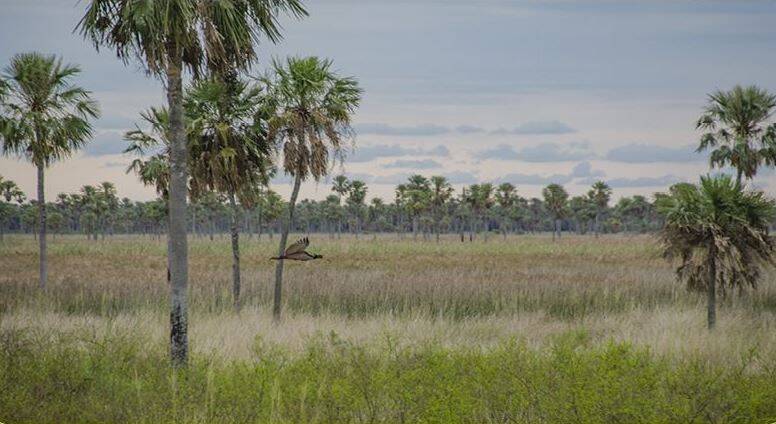
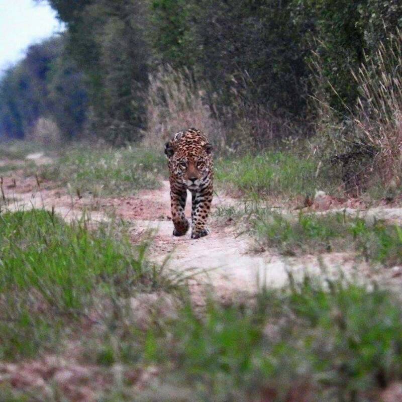
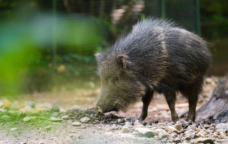
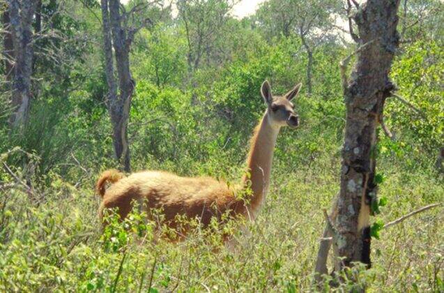
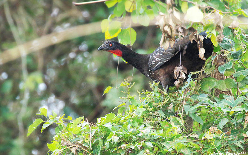
Nature & Wildlife: Kaa-Iya protects one of the finest remaining examples of dry tropical Chaco forest. Its ecosystems include riverine Chaco, alluvial plains, transitional Chaco and Chiquitano transitional forest. Bolivia’s tourism authority reports approximately 108 mammal, 226 bird, 72 reptile, 43 amphibian and 105 fish species in the area. Wildlife highlights include Jaguar, Chaco guanaco, Chacoan peccary, White-lipped peccary, Giant armadillo, Pampas deer, Howler monkeys, numerous Chaco raptors and other bird species. The park is particularly significant for threatened species such as the jaguar, Chacoan peccary, giant armadillo and guanaco.
Indigenous Communities & Culture: Kaa-Iya has a particularly strong connection with indigenous conservation and territorial management. Guaraní-Izoceño communities are concentrated around the western part of the protected area, while Chiquitano communities are found mainly toward the north. The region also has a deep historical connection with Ayoreo peoples.
Guaraní-Izoceño culture maintains a close relationship with the forest, rivers and natural resources. The Guaraní concept of the kaa iya, or spiritual “owners/protectors of the forest,” reflects an important relationship between people and nature. A particularly important feature of Kaa-Iya is its participatory governance. Indigenous organisations, local authorities and government institutions work together through the park’s management committee.
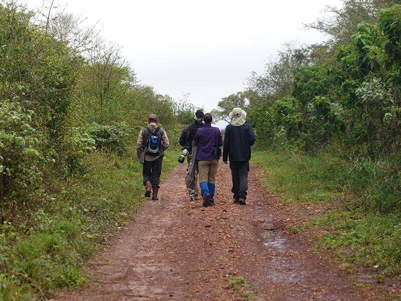
Tourism Experiences: Kaa-Iya is best suited to specialised nature, wildlife and community-based tourism rather than conventional mass tourism. These experiences include:
-
Wildlife observation and nature photography
-
Exploring the dry Chaco forest and savanna landscapes
-
Birdwatching
-
Visiting the Bañados del Izozog and Río Parapetí
-
Exploring wetlands, lagoons and palm landscapes
-
Learning about Chaco ecology and conservation
-
Responsible cultural encounters with indigenous communities
-
Experiencing traditional crafts and local cultural traditions
-
Combining the park with nearby Jesuit Mission heritage and other Santa Cruz attractions
Because the area is remote and access can be difficult, tourism should be organised through authorised operators and local/community partners.
Best Time to Visit:
-
May to October is generally the most practical period for visiting the Chaco, particularly during the drier months when roads and trails are more accessible and wildlife observation can be rewarding around remaining water sources.
-
The dry season can have cold spells, however, so visitors should be prepared for both hot daytime temperatures and cooler conditions.
How to Get There: The main approach is from Santa Cruz de la Sierra, travelling toward the Chaco through places such as Pailón, San José de Chiquitos, Charagua or Camiri, depending on the destination and access route. Kaa-Iya is extremely remote, and internal access can be challenging. During the rainy season, some roads become difficult or inaccessible.
Where to Stay: There are limited accommodation options inside or immediately around the protected area. Visitors normally use accommodation in nearby towns and communities, with specialised wildlife trips using authorised camps or field facilities where available. Useful bases include Camiri, Charagua and San José de Chiquitos, depending on the route and area being visited.
Travel Tips
-
Travel with an experienced local guide or authorised operator.
-
Confirm access conditions before travelling, especially during the rainy season.
-
Bring plenty of drinking water and sun protection.
-
Wear lightweight, long-sleeved clothing and sturdy walking footwear.
-
Carry insect protection and basic personal first-aid supplies.
-
Be prepared for significant temperature changes.
-
Keep a respectful distance from wildlife and never feed animals.
-
Respect indigenous communities, local customs and photography preferences.
-
Avoid collecting plants, rocks, feathers or other natural materials.
-
Support locally owned services and community-based tourism.
-
Follow all protected-area regulations and conservation guidelines.
Kaa-Iya is not a conventional sightseeing destination. It is a place for travellers seeking wilderness, wildlife and a deeper understanding of Bolivia's Chaco landscapes and indigenous conservation traditions.
OTUQUIS NATIONAL PARK & ANMI
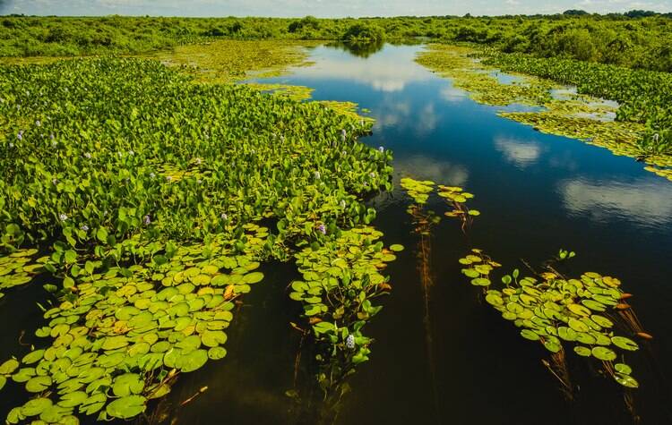
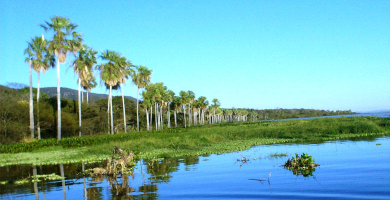
Located in southeastern Bolivia, Otuquis National Park and Integrated Management Natural Area (PN-ANMI Otuquis) protects more than 1 million hectares of wetlands, seasonally flooded savannas, tropical dry forests and transitional ecosystems within the Bolivian Pantanal. Created in 1997, the protected area is internationally important for its wetlands and exceptional biodiversity, and forms part of the wider Pantanal ecosystem shared by Bolivia, Brazil and Paraguay.
Highlights
-
Bolivian Pantanal: One of Bolivia's most important wetland landscapes.
-
Bañados de Otuquis: Extensive seasonally flooded wetlands and natural waterways.
-
Río Paraguay: The park is closely connected to the river and its seasonal water cycles.
-
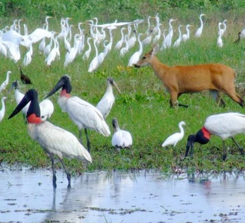
Exceptional birdlife: Important feeding and refuge areas for large waterbirds and migratory species.
-
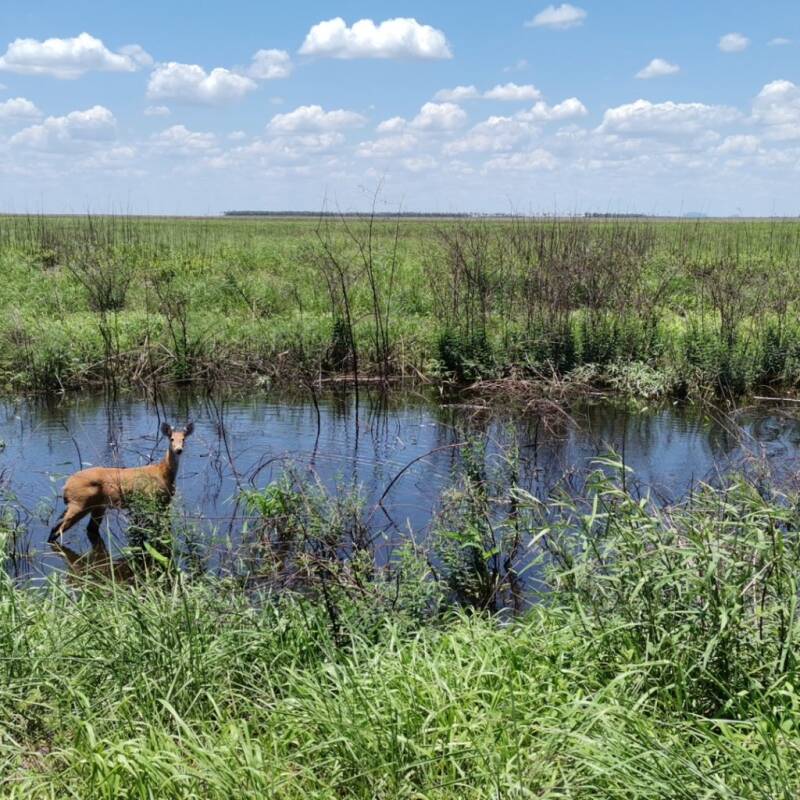
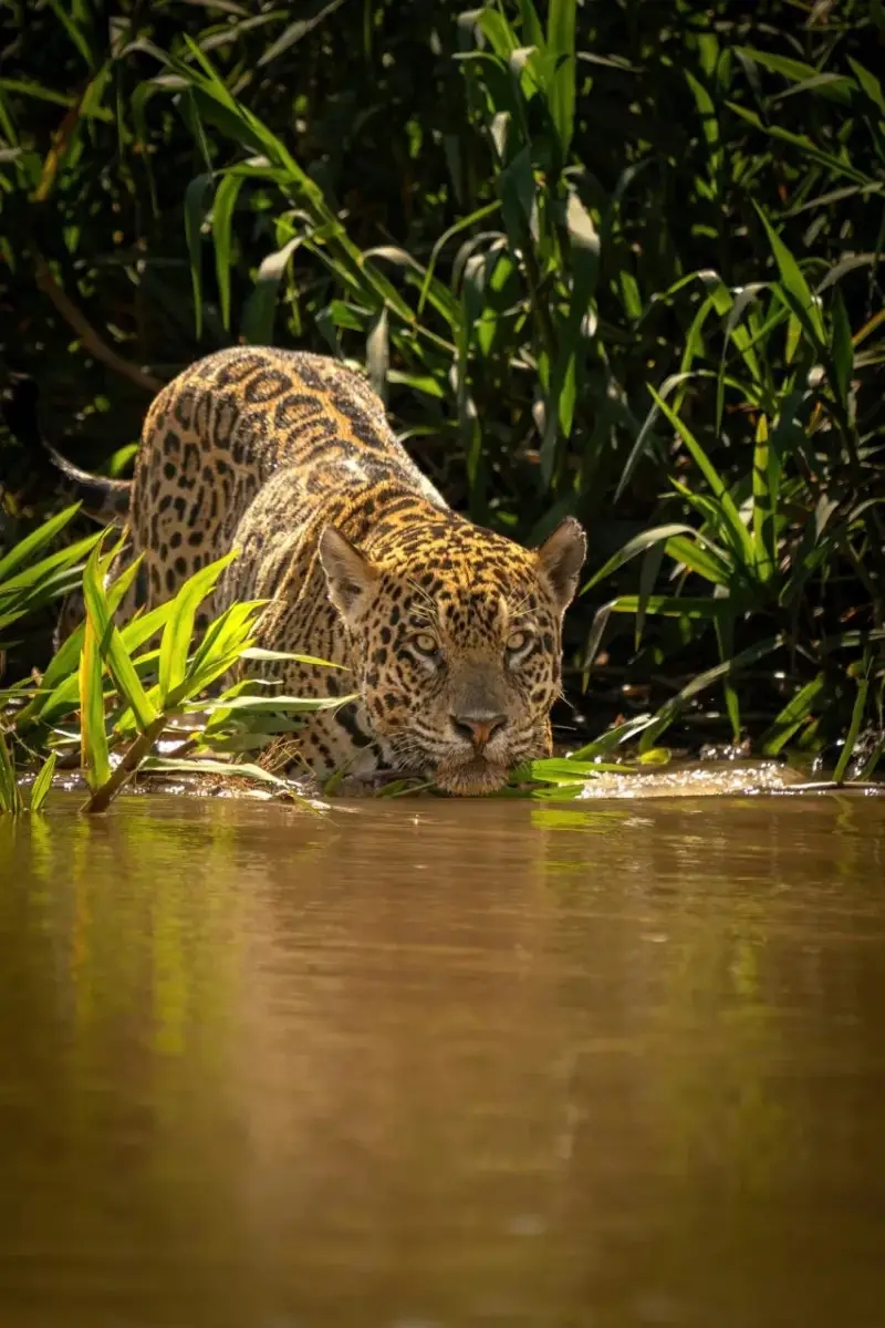
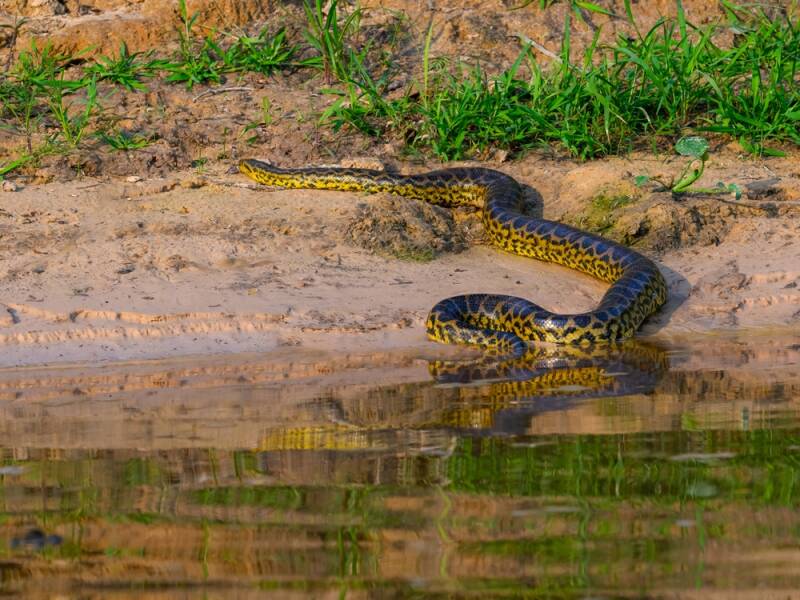
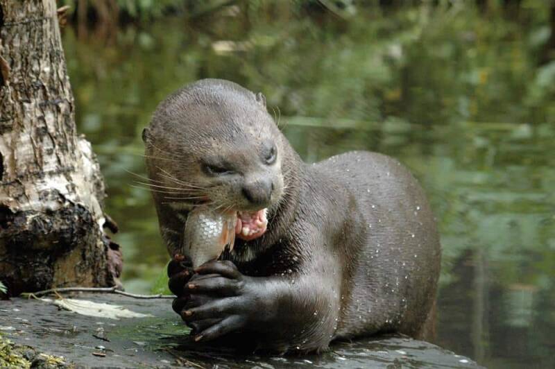
Rich wildlife: Habitat for jaguar, marsh deer, giant otter, maned wolf, anaconda and caiman.
-
Diverse ecosystems: Wetlands, palm savannas, riparian forests, dry forests and Chaco–Chiquitano transition zones.
-
Ramsar importance: The Bolivian Pantanal was recognised as a wetland of international importance in 2001.
Location: Otuquis lies in the southeastern corner of Santa Cruz Department, close to the borders with Brazil and Paraguay. It extends across parts of the provinces of Germán Busch and Cordillera, including areas associated with Puerto Suárez, Puerto Quijarro, El Carmen Rivero Torres and Charagua.
Weather & Climate: Otuquis has a warm subtropical climate, with pronounced wet and dry periods. Temperatures commonly range from around 21°C to 31°C, although occasional winter cold fronts can produce much lower temperatures. Rainfall varies considerably across the park, and the wetlands can remain flooded for extended periods.
Altitude: The park is predominantly a lowland landscape, with elevations generally ranging from approximately 80 to 180 metres above sea level.
Nature & Wildlife: Otuquis protects a remarkable mosaic of wetlands and forests, including flooded grasslands, palm savannas, aquatic vegetation, riparian forests, Chaco vegetation and tropical dry forest. Bolivia's tourism authority has recorded approximately 262 plant species, 72 mammal species, 340 bird species, 55 amphibian species, 66 reptile species and 169 fish species within the broader Otuquis ecosystem. Wildlife highlights include the jaguar, puma, maned wolf, giant otter, Neotropical otter, marsh deer, capybara, anaconda, caiman and Jabiru stork. The wetlands are particularly valuable for observing waterbirds and other species associated with seasonal flooding.
Indigenous Communities & Culture: The wider Pantanal and surrounding Chaco–Chiquitano region has a long indigenous history associated particularly with Chiquitano, Ayoreo and Guaraní peoples. These cultures have longstanding connections with the landscape, including traditional knowledge of plants, wildlife, water resources and seasonal cycles.
Tourism Experiences: Otuquis is best suited to nature-focused and low-impact tourism, particularly for activities such as:
-
Wildlife and birdwatching
-
Nature photography
-
Wetland and landscape exploration
-
Ecotourism
-
Cultural tourism in surrounding communities
-
Scenic exploration of the Bolivian Pantanal
-
Experiencing the landscapes around Puerto Suárez and the Río Paraguay
Because much of the protected area consists of wetlands and remote terrain, tourism infrastructure and access can be limited. Some areas require local guides, appropriate vehicles and prior coordination.
Best Time to Visit: The dry season, generally May to October, is usually the most practical period for exploring the region, when access conditions tend to be more favourable. However, the seasonal flooding is an important part of Otuquis's ecological character, so the landscape and wildlife experience can vary considerably depending on rainfall and water levels. For birdwatching and wildlife, it is worth checking local conditions and access before travelling, as water levels can affect roads, trails and boat routes.
How to Get There: The principal gateway to the Otuquis and Bolivian Pantanal region is Puerto Suárez/Puerto Quijarro in southeastern Santa Cruz. From Santa Cruz de la Sierra, visitors can travel:
-
By road: The journey to Puerto Suárez is approximately 640 km.
-
By train: The Santa Cruz–Puerto Quijarro railway provides an alternative connection, with the journey taking approximately 14 hours.
Access into the protected area itself can be more challenging, and visitors should arrange transportation, guides and permits where required before entering remote areas.
Where to Stay: For exploring Otuquis, the most practical accommodation base is generally Puerto Suárez, with additional accommodation options available around Puerto Quijarro and other communities in the Bolivian Pantanal. Visitors looking for a deeper nature experience there is also local lodges and community-based accommodation in the wider Pantanal region, depending on seasonal availability and access.
Travel Tips:
-
Plan ahead: Otuquis is remote and tourism infrastructure is limited in many areas.
-
Use local expertise: Consider travelling with an experienced local guide familiar with the Pantanal.
-
Check road conditions: Seasonal flooding can affect accessibility.
-
Bring sun protection: Hat, sunscreen and lightweight clothing are useful in the warm lowlands.
-
Carry insect protection: Wetland environments can have significant insect activity.
-
Bring binoculars: Otuquis is especially rewarding for birdwatchers.
-
Respect wildlife: Observe animals from a safe distance and never feed or disturb them.
-
Support local communities: Choose responsible local guides, accommodation and cultural experiences where available.
-
Leave no trace: Protect wetlands, forests and wildlife by carrying rubbish out and following protected-area regulations.
-
Travel responsibly: Otuquis is a conservation landscape first and a tourism destination second; low-impact travel helps protect its fragile ecosystems.
Otuquis offers a different side of Bolivia — a vast world of water, wildlife and wetlands where the Pantanal meets the Chaco and Chiquitano landscapes.
PILÓN LAJAS BIOSPHERE RESERVE & INDIGENOUS TERRITORY
Pilón Lajas Biosphere Reserve & Indigenous Territory is one of Bolivia’s most important, protected areas, where the eastern Andes meet the Amazonian lowlands. Recognised by UNESCO as a Biosphere Reserve since 1977, it combines exceptional biodiversity with the ancestral territory and living cultures of Indigenous people. The reserve covers approximately 403,000 hectares and forms part of the Vilcabamba–Amboró biological corridor.
Highlights
-
Amazonian rainforest and Yungas landscapes
-
Beni and Quiquibey river valleys
-
Exceptional wildlife, including jaguars and tapirs
-
Diverse populations of monkeys and other mammals
-
More than 300 recorded bird species
-
River journeys through remote forest
-
Community-based and nature tourism
-
Indigenous Tsimane’, Mosetene and Tacana cultures
-
Important biological corridor connecting protected areas
-
A unique combination of conservation and Indigenous territorial management
Location: Pilón Lajas is located between the departments of La Paz and Beni, on the eastern foothills of the Andes and extending toward the Beni lowlands. The principal gateway for visitors is Rurrenabaque, from where access to parts of the reserve is commonly by river along the Beni and Quiquibey rivers.
Weather & Climate: The reserve has a warm, humid tropical climate, with considerable rainfall throughout the year. Annual precipitation varies approximately from 1,800 to 4,000 mm, depending on altitude and location. The wet season generally produces fuller rivers and lush vegetation, while the drier months can offer more comfortable conditions for hiking and wildlife observation.
Altitude: Pilón Lajas has a remarkable altitudinal range of approximately 300 to 2,000 metres above sea level, creating several ecological zones from lowland rainforest to mountainous and foothill forests.
Nature & Wildlife: Pilón Lajas is renowned for its exceptional biodiversity. UNESCO records around 70 mammal species and 338 bird species, while recent monitoring has highlighted priority species including jaguar, tapir, giant river otter, spider monkey and howler monkey. Other wildlife associated with the reserve includes giant armadillo, black caiman, river turtles and numerous tropical bird species. Its forests, rivers and varied elevations create important habitats and help maintain wildlife movement between neighbouring protected areas.
Indigenous Communities & Culture: Pilón Lajas is not only a protected natural area but also a living Indigenous territory. Tsimane’, Mosetene and Tacana communities maintain deep cultural and economic connections with the forest and rivers. Community-based tourism can provide visitors with opportunities to learn about traditional knowledge, local food, forest plants, river transportation, handicrafts and everyday life.
Tourism Experiences: Visitors can experience Pilón Lajas through nature and community-based tourism, and these include:
-
Boat trips along the Beni and Quiquibey rivers
-
Guided rainforest walks, exploring different forest ecosystems.
-
Birdwatching and wildlife observation searching for monkeys and other forest species
-
Learning about medicinal, useful plants and traditional fishing practices
-
Community visits and cultural exchanges
-
Nature photography
-
Camping and eco-lodge experiences where authorised
The Mapajo community lodge on the Quiquibey River is one example of Indigenous community-based tourism operated by Mosetene and Tsimane people. Experiences include forest walks, river excursions and cultural exchanges with local communities.
Best Time to Visit: The drier season, roughly May to October, is generally a good period for rainforest walks and outdoor activities, although conditions can vary from year to year. The wetter months bring heavier rainfall, greener landscapes and stronger rivers, which can also make river journeys particularly atmospheric.
How to Get There:
-
From La Paz: Travel to Rurrenabaque by air or overland. From Rurrenabaque, visitors can enter parts of Pilón Lajas by boat, travelling along the Beni River and Quiquibey River.
-
From Trinidad/Beni: Travel towards Rurrenabaque by air or road and then continue by river into the reserve.
Beware that access points and community programmes can change according to the weather and river conditions.
Where to Stay: Most visitors use Rurrenabaque as their base, where there are hotels, hostels, guesthouses and tour operators. For a deeper experience, some community tourism programmes offer accommodation in eco-lodges or community-managed facilities inside or near the reserve, such as the Mapajo project on the Quiquibey River.
Travel Tips
-
Choose community-based and responsible tourism wherever possible.
-
Arrange river transport and guides before entering remote areas.
-
Bring insect repellent and long, lightweight clothing.
-
Carry waterproof protection for rain and river travel.
-
Wear comfortable, sturdy footwear for forest walks.
-
Carry a reusable water bottle.
-
Expect limited connectivity in remote communities.
-
Ask permission before photographing people, homes or ceremonies.
-
Respect Indigenous customs, private areas and community rules.
-
Avoid taking plants, animals or cultural objects from the reserve.
-
Take rubbish with you and minimise single-use plastics.
-
Follow the instructions of local guides and protected-area authorities.
Pilón Lajas is ideal for travellers seeking a deeper Amazon experience—combining rainforest exploration, wildlife and meaningful encounters with Indigenous communities in a landscape where conservation and culture are closely connected.
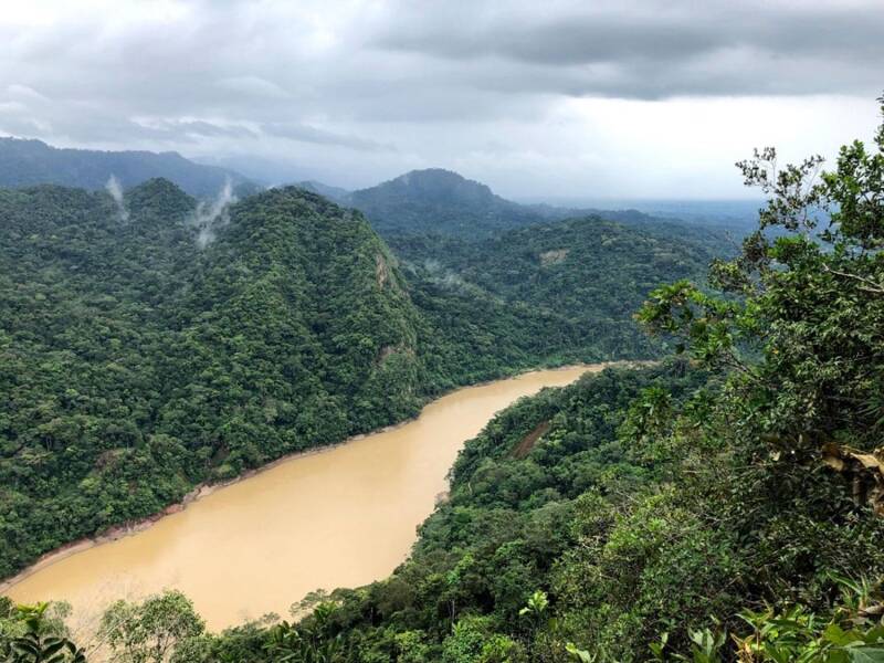
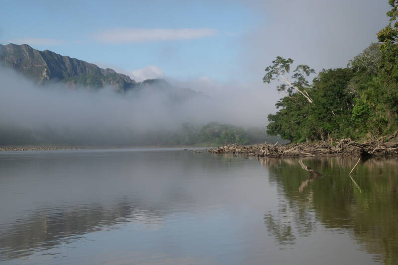
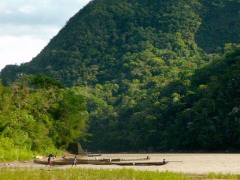
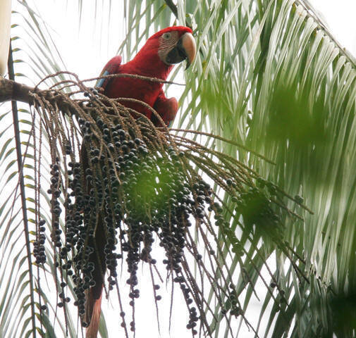
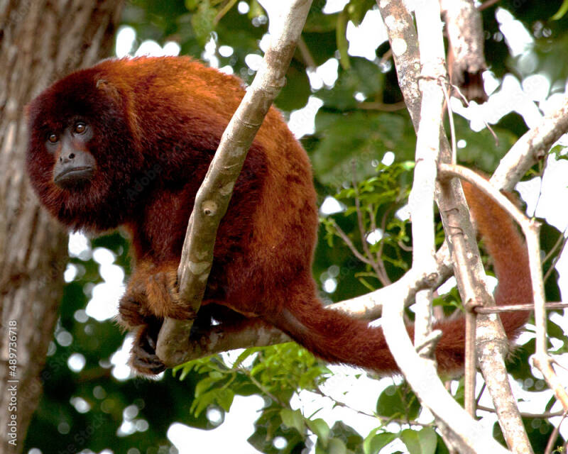
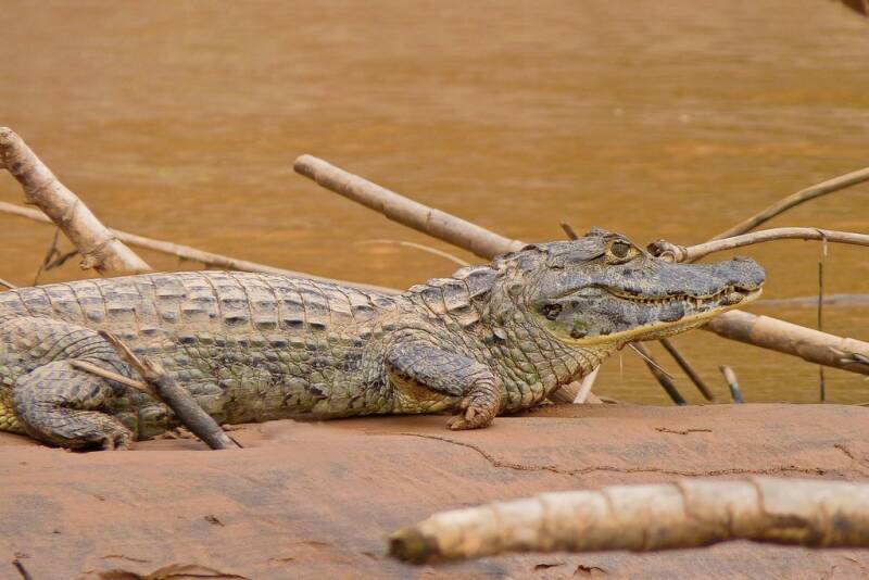
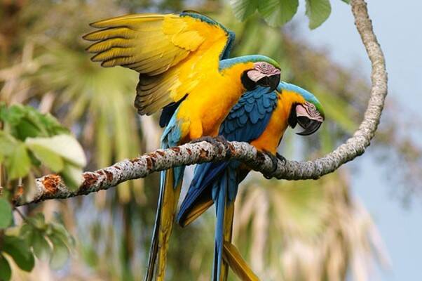
BENI BIOLOGICAL STATION BIOSPHERE RESERVE
The Beni Biological Station Biosphere Reserve (Estación Biológica del Beni – EBB) is one of Bolivia’s most important protected natural areas and a UNESCO Biosphere Reserve. Located in the southwest of Beni Department, it protects a remarkable mosaic of Amazonian forests, seasonally flooded savannas, wetlands, lagoons and river ecosystems. Covering approximately 135,274 hectares, the reserve is a refuge for exceptional biodiversity and an important centre for conservation, scientific research and sustainable relationships between nature and local communities.
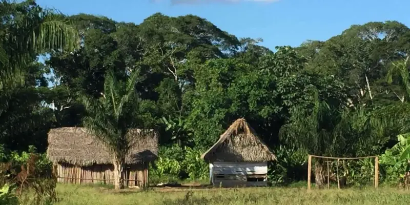
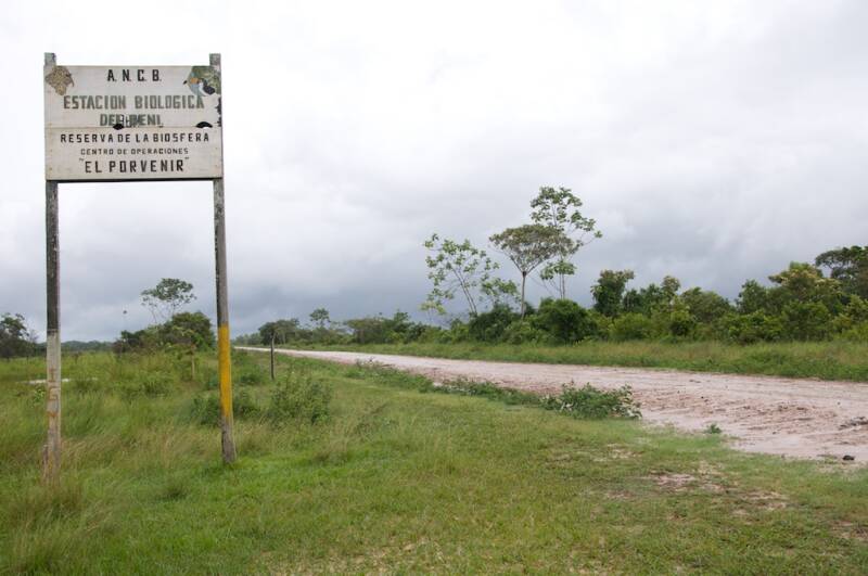
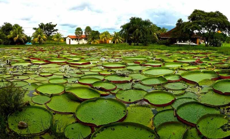
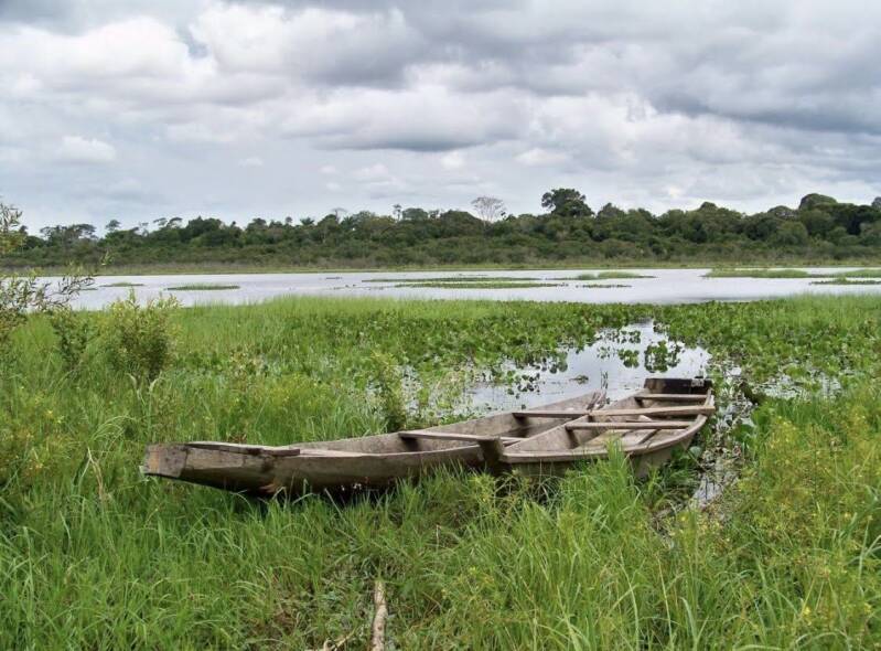

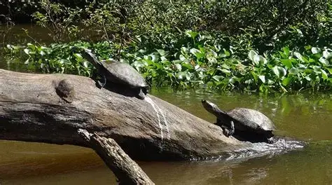
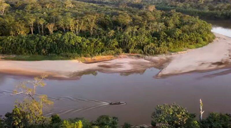
Highlights
-
In 1986 was recognised as a Biosphere Reserve by UNESCO
-
Approximately 135,274 hectares of protected landscape.
-
A unique meeting point of Amazonian, Chaco and Cerrado influences.
-
Extensive tropical forests, savannas, wetlands and seasonally flooded landscapes.
-
More than 100 mammal species and around 500 bird species recorded.
-
Laguna Normandía, known for wildlife and birdwatching spot.
-
Río Maniquí and other waterways providing access to remote natural areas.
-
Excellent destination for birdwatching, wildlife observation, nature photography and scientific tourism.
-
Important cultural connections with the Tsimane’ (Chimane) Indigenous people.
Location: The reserve is situated in the southwestern part of Beni Department, between the provinces of José Ballivián and Yacuma, and within the municipalities of San Borja and Santa Ana de Yacuma. San Borja is the principal gateway for visitors. The reserve lies in the lowlands of the Amazon Basin, approximately 45 km from the foothills of the Andes.
Weather & Climate: The region has a warm tropical climate, with a pronounced wet season and a generally drier period. Average annual temperatures are around 25–26°C, while annual rainfall can vary considerably, from approximately 1,400 mm in drier years to 3,000 mm in wetter years. During the rainy season, flooding can make roads and access to parts of the reserve considerably more difficult.
Altitude: The Beni Biological Station is a very lowland environment, with elevations generally around 160–220 metres above sea level. The landscape is predominantly flat, characterised by floodplains, forests, wetlands and open savannas.
Nature & Wildlife: The reserve protects an extraordinary combination of humid tropical forest, gallery forest, seasonally flooded forest, wetlands, lagoons and open savanna. More than 2,000 vascular plant species have been recorded across the wider reserve, together with more than 100 mammal species and around 500 bird species. Wildlife highlights include jaguar, giant armadillo (pejichi), black spider monkey (marimono), red howler monkey (manechi), marsh deer, giant river otter, capybara, caiman, black caiman and river turtles. Birdlife is particularly impressive, with species such as the harpy eagle and numerous wetland and forest birds. The reserve's vegetation includes valuable and characteristic Amazonian species such as mara (mahogany), palo maría, cedar, ochoó, tajibo and several native palms.
Indigenous Communities & Culture: The reserve has an important relationship with the Tsimane’ (Chimane) Indigenous people, whose traditional territories and way of life are closely connected with the forests and rivers of the region. UNESCO highlights the importance of protecting Indigenous knowledge and traditional techniques alongside biodiversity conservation. The Río Maniquí is particularly significant for Tsimane’ communities and provides opportunities to learn about the close relationship between Indigenous communities, waterways and the surrounding forest.
Tourism Experiences: The Beni Biological Station offers opportunities for low-impact nature and educational tourism, including:
-
Birdwatching in forests, wetlands and savannas.
-
Nature walks through different forest ecosystems.
-
Wildlife observation, including caimans, monkeys, birds and other Amazonian species.
-
Laguna Normandía, an important landscape for wildlife and bird observation.
-
River excursions along the Río Maniquí, where visitors can observe birds, reptiles and other wildlife.
-
Nature photography and wildlife observation.
-
Scientific and educational tourism, reflecting the reserve's long-standing role in biological research.
-
Savanna and wetland exploration, highlighting the distinctive landscapes of the Llanos de Moxos.
-
Community-based cultural experiences, where authorised and locally organised.
Best Time to Visit: The dry season, approximately May to October, is generally the most practical period for visiting. Roads and trails are usually easier to access, while wildlife observation and outdoor activities can be more comfortable. The rainy season can bring significant flooding and difficult road conditions. It is worth highlight that the reserve is also a seasonal destination as the landscape changes dramatically between dry and wet periods, and both seasons have their own ecological character.
How to Get There: San Borja is the principal gateway to the reserve.
-
By air: Visitors can reach San Borja through regional air connections, depending on current schedules. Another option is to travel via Trinidad or Rurrenabaque and continue overland.
-
By road: San Borja is connected by road with Trinidad and Rurrenabaque, although conditions can vary significantly with the season. During periods of heavy rain, sections of the route may become difficult or temporarily inaccessible.
-
From San Borja, access to the reserve and its tourism facilities should be arranged in advance with the reserve's local authorities or authorised operators, particularly because many areas are remote and protected.
Where to Stay: San Borja offers the widest choice of hotels, guesthouses, restaurants and basic tourist services and is the most convenient base for exploring the reserve. For a more immersive experience, visitors may be able to stay at El Porvenir, the reserve's operational and tourism facility, subject to availability and prior arrangements. El Porvenir is an important base for nature, scientific and educational activities. Community-based accommodation may also be available in the wider region, but arrangements should be made directly through recognised community tourism initiatives and with respect for local protocols.
Travel Tips:
-
Plan ahead: Access to the reserve is limited and should be arranged before travelling.
-
Choose the dry season if you want easier road access and more straightforward outdoor activities.
-
Bring lightweight, breathable clothing, sturdy walking shoes, rain protection and insect repellent.
-
Carry binoculars and a camera for bird and wildlife observation.
-
Use a local guide who understands the terrain, wildlife and community protocols.
-
Avoid disturbing animals, feeding wildlife or removing plants and other natural materials.
-
Respect Indigenous communities, their customs, privacy and traditional knowledge.
-
Bring sufficient water and essential personal supplies when travelling into remote areas.
-
Be prepared for limited mobile connectivity and basic facilities outside San Borja.
-
Support conservation and community initiatives by choosing responsible, locally organised tourism.
The Beni Biological Station Biosphere Reserve is where forest, wetlands and open savannas come together in one of Bolivia's most remarkable lowland landscapes.
Conservation note: The reserve is not simply a conventional wildlife destination; it is a protected landscape where biodiversity conservation, scientific research and the way of life and traditional knowledge of Indigenous and local communities are closely connected.
EL PALMAR NATURAL AREA OF INTEGRATED MANAGEMENT
El Palmar Natural Area of Integrated Management (ANMI El Palmar) is a spectacular protected area in Chuquisaca, renowned for its distinctive forests of the endemic janchi coco palm (Parajubaea torallyi). Created in 1997, the reserve protects approximately 59,484 hectares of dry inter-Andean valleys, mountain forests, deep canyons and diverse ecosystems. Its combination of extraordinary landscapes, biodiversity and living rural culture makes it an exceptional destination for nature and cultural tourism.
Highlights
-
Janchi coco palm forests – one of El Palmar's most distinctive natural features.
-
Dramatic Andean valleys and canyons with spectacular mountain scenery.
-
Spectacled bear habitat, together with puma, peccary and other wildlife.
-
Red-fronted macaw and Andean condor among the area's notable birds.
-
K'ala Rumi, featuring pre-Hispanic petroglyphs and chullpares.
-
Cañón Misión, with viewpoints, palm landscapes and natural pools.
-
Pucara Punta, a culturally significant mountain associated with offerings to Pachamama.
Location: El Palmar is located in Chuquisaca Department, in Jaime Zudáñez Province, mainly within the municipality of Presto, around 165 km northeast of Sucre. The protected area lies in the eastern Andes and encompasses the communities and landscapes around Rodeo and Pasopaya.
Weather & Climate: El Palmar has a varied climate because of its strong changes in elevation. The lower valleys are generally warmer and drier, while higher areas are cooler and more humid. Recorded temperatures across the protected area range approximately from 13°C to 35°C, with rainfall varying considerably between ecological zones. The palm forests at higher elevations can be considerably cooler, particularly at night.
Altitude: The protected area extends across a broad altitudinal range of approximately 1,200 to 3,200 metres above sea level. The iconic Parajubaea torallyi palm forests are especially associated with elevations of around 2,400–3,200 metres.
Nature & Wildlife: El Palmar protects a remarkable combination of dry inter-Andean forests, Tucumano-Bolivian forests and Chaco-Serrano transitional ecosystems. More than 270 species of plants have been recorded, including the endemic janchi coco palm, mountain pine, aliso and kewiña. Wildlife includes the spectacled bear, puma, Andean cat, peccary, anteater and Andean condor. More than 100 bird species have been recorded, including the red-fronted macaw, which is an important conservation species of Bolivia.
Indigenous Communities & Culture: El Palmar is also a living cultural landscape, where local rural and Indigenous-origin communities maintain traditional relationships with the land and natural resources. Communities such as El Palmar, Rodeo and Molani are associated with the protected area and its cultural heritage. Traditional agriculture, local knowledge of plants and landscapes, community life and respect for Pachamama remain important elements of the area's identity.
Tourism Experiences:
-
Nature & Wildlife: Explore the spectacular janchi coco palm forests, enjoy birdwatching and wildlife observation, discover dry forests, mountain landscapes and deep valleys and photograph the distinctive Andean scenery.
-
Walking & Adventure: Hike through the Cañón Misión area, visit viewpoints overlooking the palm forests, explore trails around local communities, and discover natural pools and streams along selected routes.
-
Culture & Heritage: Visit K'ala Rumi to see petroglyphs and pre-Hispanic chullpares, explore Pucara Punta a site connected with traditional offerings to Pachamama and combine nature walks with encounters with local communities and rural traditions.
Best Time to Visit: The dry season, generally May to October, is usually the most practical period for hiking, photography and exploring the landscapes, as conditions tend to be drier. The rainy season can make rural roads and trails more challenging, but it also brings greener vegetation and a different character to the valleys.
How to Get There: El Palmar is reached from Sucre towards Presto and the communities within the protected area. Access involves travelling on rural roads, and some attractions require a combination of vehicle travel and walking. Because road conditions can vary, particularly during the rainy season, visitors should arrange transportation and local guidance in advance. The reserve is approximately 165 km northeast of Sucre.
Where to Stay: Accommodation options within the protected area are limited and community-based. Presto and surrounding communities can provide basic local accommodation, while Sucre offers the widest range of hotels, guesthouses and tourist services and can be used as a base before or after visiting El Palmar. For a more authentic experience, consider staying in locally operated accommodation where available and supporting community tourism initiatives.
Travel Tips:
-
Plan ahead: El Palmar is a remote nature destination with limited tourist infrastructure.
-
Hire local guides: Local guides can improve access to trails and provide valuable cultural and environmental knowledge.
-
Wear sturdy footwear: Trails can be uneven and mountainous.
-
Bring sun protection: Hat, sunscreen and water are important, particularly in exposed areas.
-
Carry layers: Temperatures can change significantly with elevation.
-
Respect cultural sites: Do not touch or damage petroglyphs, chullpares or other archaeological remains.
-
Protect wildlife: Observe animals from a distance and avoid disturbing them.
-
Leave no trace: Take rubbish with you and avoid removing plants, seeds or other natural materials.
-
Support local communities: Use local guides, accommodation and services where possible.
El Palmar is a remarkable Bolivian landscape where endemic palm forests, Andean wildlife, ancient heritage and rural traditions come together in one of Chuquisaca's most distinctive protected areas.
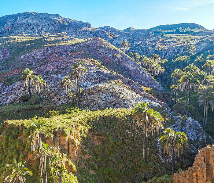
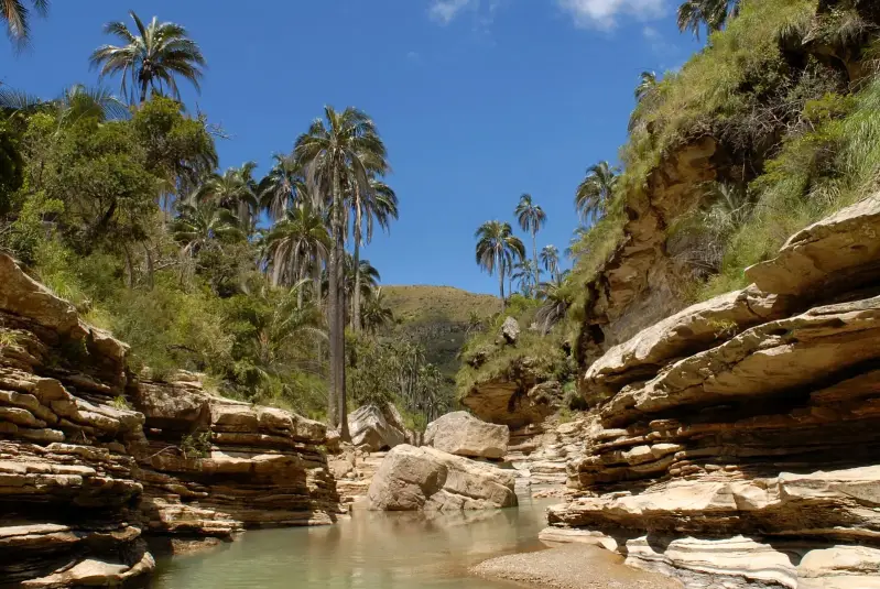
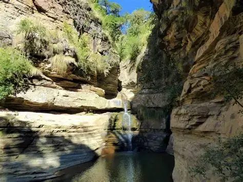
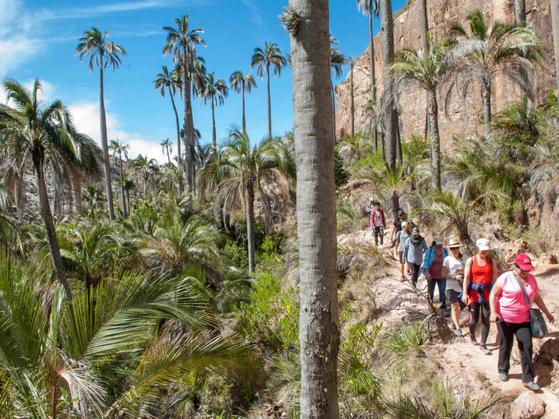
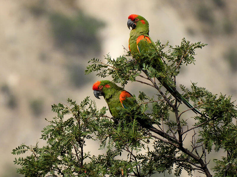
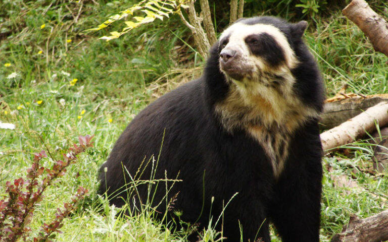
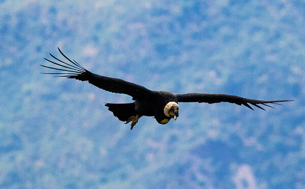
TARIQUÍA NATIONAL FLORA & FAUNA RESERVE
Tariquía National Flora & Fauna Reserve is one of southern Bolivia’s most important, protected areas, known for its dramatic mountain landscapes, deep valleys, cloud forests and exceptional biodiversity. Covering approximately 2,469 km², the reserve protects extensive areas of the Tucumano-Bolivian Yungas and serves as an important source of water for the Tarija region. It was established in 1989.
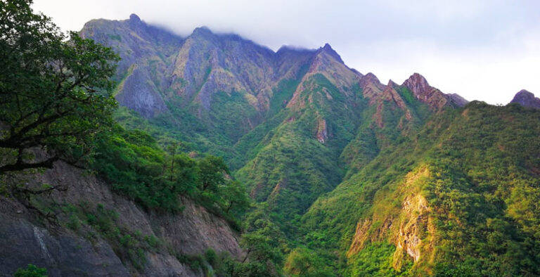
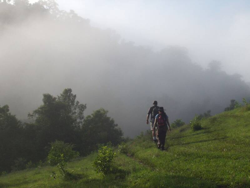
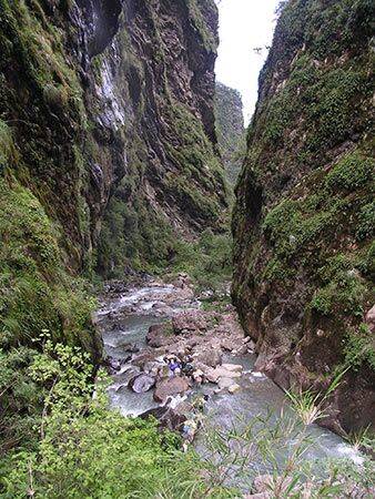
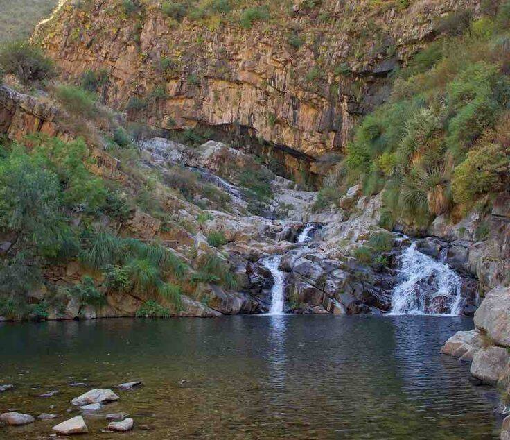
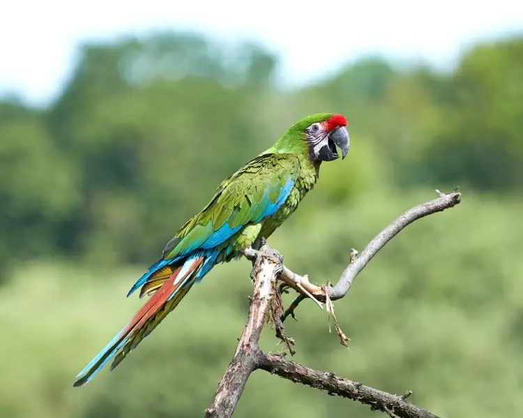
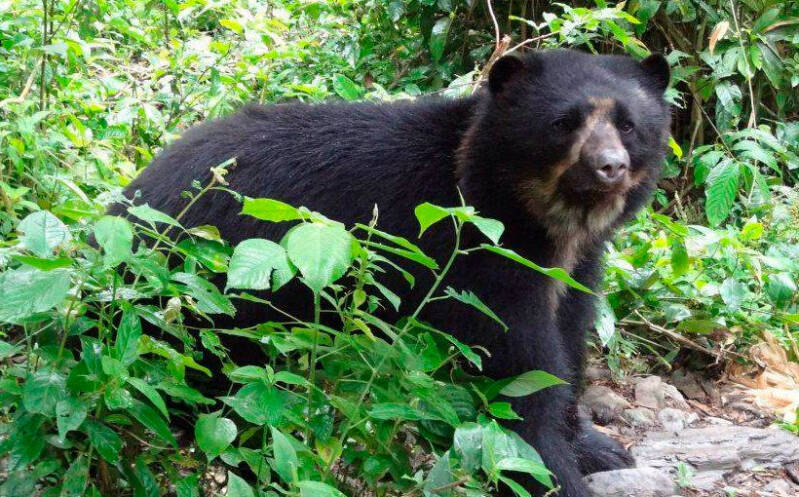
Highlights
-
Tucumano-Bolivian Yungas and mountain cloud forests
-
Dramatic serranías, valleys and forested slopes
-
Possibility of encountering jaguar, puma and other wildlife
-
Excellent birdwatching, including the military macaw
-
Rivers, waterfalls and scenic valleys
-
Remote hiking and nature-based exploration
-
Camping and simple outdoor experiences
-
Important, protected area for biodiversity and water resources
-
Scenic sites including Sidras, Salinas and El Cajón
Location: Tariquía is located in the southeastern part of Tarija Department, south of Entre Ríos and relatively close to the Argentine border. The reserve extends across parts of the provinces of O’Connor, Arce, Gran Chaco and Cercado, with access associated with areas including Padcaya, Entre Ríos and Chiquiacá.
Weather & Climate: The climate varies considerably with altitude, ranging from temperate to warm. The wetter mountain areas receive approximately 900–3,000 mm of rainfall annually, with cloud, mist and rainfall contributing to the lush forest environment. The main rainy season generally occurs from November to March, while the drier months offer better conditions for visiting.
Altitude: The reserve has a substantial elevation range, approximately 900–3,400 metres above sea level, although some lower sectors and valleys descend to around 400–500 metres depending on the boundary and location being considered.
Nature & Wildlife: Tariquía protects a remarkable variety of ecosystems, including humid mountain forest, cloud forest, montane woodland and transitions toward drier valleys and Chaco vegetation. More than 600 plant species have been recorded in official tourism information, alongside 62 species of mammals, 242 birds, 19 reptiles, 28 amphibians and 64 fish species. Wildlife includes jaguar, puma, Andean or spectacled bear (jukumari), taruca, peccary and monkeys. Birdlife includes the striking military macaw, Tucuman parrot and toucans.
Communities & Culture: Tariquía is not an uninhabited wilderness. Local rural communities live within the reserve and participate in its management and conservation. In July 2026, SERNAP reported coordination with representatives of 24 communities living in the protected area, highlighting the importance of community participation in conservation and sustainable development. The local population has traditionally depended on agriculture, livestock, fishing and other natural resources.
Tourism Experiences:
-
Hiking & trekking – Explore forest trails, valleys and mountain landscapes.
-
Wildlife watching – Look for birds and, with patience and good guiding, signs of larger mammals.
-
Birdwatching – Tariquía's exceptional bird diversity makes it particularly attractive to nature enthusiasts.
-
Camping – Experience the reserve's forests and landscapes through simple, low-impact camping.
-
El Cajón – Visit the impressive canyon along the Río Grande de Tarija, an area known for scenic landscapes, wildlife and fish populations.
-
Sidras & Salinas – Explore two of the reserve's recognised scenic areas and enjoy walking and nature observation.
Best Time to Visit: May to September is generally the most suitable period for visiting Tariquía because conditions are drier and hiking and river crossings are more manageable. The reserve can be difficult to access during the rainy season, particularly on unpaved roads and remote trails.
How to Get There: The main approach is from Tarija towards Padcaya and the reserve's access communities, with some routes continuing along rough rural roads toward entry points such as Pampa Grande/Motovi. From the road, visitors may need to continue on foot or horseback, depending on the destination and current conditions. Because Tariquía is remote and access infrastructure is limited, visitors are advised to book their trip with local guides and the relevant reserve authorities in advance.
Where to Stay: Accommodation inside the reserve is very basic and limited, with camping being one of the principal options. Some areas have simple community or reserve facilities, while Tarija, Padcaya and Entre Ríos provide a wider choice of hotels, guesthouses and other accommodation outside the reserve.
Travel Tips:
-
Use an experienced local guide; trails can be remote and challenging.
-
Check road and weather conditions before travelling.
-
Be prepared for basic camping conditions if staying inside the reserve.
-
Wear sturdy walking footwear and bring suitable rain protection.
-
Carry sufficient drinking water and essential supplies.
-
Bring binoculars for birdwatching.
-
Do not rely on mobile-phone coverage in remote areas.
-
Follow Leave No Trace principles and take all rubbish with you.
-
Never approach or feed wildlife.
-
Respect local communities, private land and conservation regulations.
-
Confirm access arrangements with SERNAP or local authorities before departure.
Tariquía is best presented as a destination for responsible nature tourism, wildlife observation, hiking and authentic rural experiences, rather than conventional mass tourism.
CORDILLERA DE SAMA BIOLOGICAL RESERVE
The Cordillera de Sama Biological Reserve is one of Tarija’s most spectacular protected areas, where the landscapes of the southern Andes rise from dry inter-Andean valleys to high-altitude puna, dramatic mountain ridges and remote lagoons. Created in 1991, the reserve protects 108,500 hectares and is especially important for conserving biodiversity, high-Andean wetlands, archaeological heritage and water sources serving Tarija and surrounding communities.
Highlights
-
Laguna Tajzara and the surrounding high-Andean wetlands
-
Laguna Grande and Laguna Pujzara
-
Laguna Brava, at around 4,300 metres
-
Spectacular mountain and altiplano landscapes
-
Tajzara Ramsar wetland, important for waterbirds
-
Andean flamingos and other high-altitude birdlife
-
Dunes of Tajzara
-
Pre-Hispanic trails and sections of the Inca Road
-
Ancient rock art, archaeological sites and traditional vicuña traps
-
Queñua woodlands and high-Andean vegetation
-
Opportunities for trekking, birdwatching, photography and cultural tourism.
Location: The reserve is located in the western part of Tarija Department, in southern Bolivia, within the provinces of Méndez and Avilés and extending toward the Cercado area. It lies west of the city of Tarija and is crossed by landscapes associated with the Tajzara, Camacho, San Juan del Oro and Guadalquivir river basins. The main access is through the Tarija–Villazón road, with routes leading toward the Tajzara area and other attractions within the reserve.
Weather & Climate: The reserve has a cold-to-temperate climate, with conditions changing considerably according to altitude. Annual precipitation generally ranges from approximately 300 to 800 mm, with wetter conditions in areas affected by mountain rainfall and cloud or mist. The high-altitude areas around Tajzara can be cold, windy and exposed to intense sunlight, particularly during the dry season. Weather can change quickly, with substantial differences between daytime and night.
Altitude: The reserve has an exceptional altitudinal range of approximately 1,800 to 4,700 metres above sea level. This dramatic elevation gradient creates a variety of ecosystems, from dry inter-Andean valleys to puna and high-Andean landscapes.
Nature & Wildlife: Cordillera de Sama protects a rich variety of high-Andean and inter-Andean ecosystems. Vegetation includes puna grasslands, native shrubs, queñua woodland and yareta, together with plant communities adapted to the area's cold, dry conditions. Wildlife highlights include vicuña, Andean condor, Puma, Andean cat (titi), Taruca or Andean deer, Vizcacha, Andean, Chilean and James's flamingos and other ducks and high-Andean waterbirds The Tajzara wetlands are particularly valuable for aquatic and migratory birds. The area is recognised internationally as an important wetland for waterbird conservation. A recent scientific discovery also recorded a tayra (Eira barbara) in the reserve at approximately 2,000 metres, expanding knowledge of the species' distribution in Tarija.
Indigenous Communities & Culture: The reserve has long been connected with rural communities whose way of life and traditions are closely linked to the surrounding mountains, valleys and water sources. Communities in the higher areas have Quechua and Aymara heritage, with traditional agricultural and pastoral practices forming an important part of local life. The cultural landscape includes traditional agriculture, livestock raising, weaving and local community traditions. Archaeological evidence reveals a much older human presence, including pre-Hispanic settlements, agricultural terraces, irrigation channels, rock art, fortifications, vicuña traps and ancient road networks.
Tourism Experiences:
-
Wildlife & Birdwatching: Explore the Tajzara wetlands in search of flamingos, ducks, vicuñas and other Andean wildlife.
-
Trekking & Hiking: Walk through mountain landscapes, puna grasslands, valleys and around high-altitude lagoons.
-
Landscape Photography: Capture dramatic combinations of mountains, lagoons, dunes, open altiplano and changing skies.
-
Cultural & Archaeological Tourism: Discover ancient trails, rock art, archaeological remains, traditional agricultural landscapes and vicuña traps.
-
Inca Road Exploration: Follow sections of the historic pre-Hispanic road network that crossed the region.
-
Community Experiences: Learn about traditional rural way of life, local crafts, food and cultural traditions when visiting indigenous communities.
Best Time to Visit
-
April to November is generally the most practical period for exploring the reserve, particularly during the drier months when roads and trails are more accessible.
-
May to September offers typically dry conditions and clear skies, although temperatures at high elevations can be very cold, especially at night and early morning.
-
The rainy season, generally from December to March, can bring difficult road conditions and rapidly changing weather. However, wetlands can be particularly attractive for birdwatching during periods when waterbirds are present.
How to Get There: The reserve can be reached from Tarija by road, using the Tarija–Villazón route and local roads leading toward the Tajzara basin and other attractions. Some sites are remote and require appropriate vehicles and careful route planning. For visitors unfamiliar with the area, travelling with a local guide or experienced driver is recommended, particularly when visiting remote lagoons, archaeological sites or rural communities.
Where to Stay: Tarija city is the most convenient base for exploring the reserve, offering a wide range of hotels, guesthouses, restaurants and travel services. For deeper exploration, visitors may be able to arrange accommodation or camping opportunities through rural communities and local tourism operators, depending on the route and season. Facilities become increasingly limited as you travel into the more remote high-altitude areas.
Travel Tips:
-
Allow time to acclimatise before spending extended periods at high altitude.
-
Bring warm layers, even when travelling from the warmer valleys of Tarija.
-
Use sun protection: UV exposure is strong at high altitude.
-
Carry sufficient drinking water and snacks when visiting remote areas.
-
Check road and weather conditions before departure, especially during the rainy season.
-
Travel with a local guide or experienced driver for remote routes.
-
Respect wildlife and observe animals from a safe distance.
-
Do not remove archaeological objects, rocks, plants or other natural materials.
-
Respect local communities, customs and privately managed land.
-
Follow protected-area regulations and leave no litter behind.
-
Support local guides, craftspeople and community tourism initiatives where available.
From flamingo-filled lagoons and windswept highlands to ancient trails and living rural traditions, Cordillera de Sama offers an extraordinary combination of nature, culture and history in southern Bolivia.
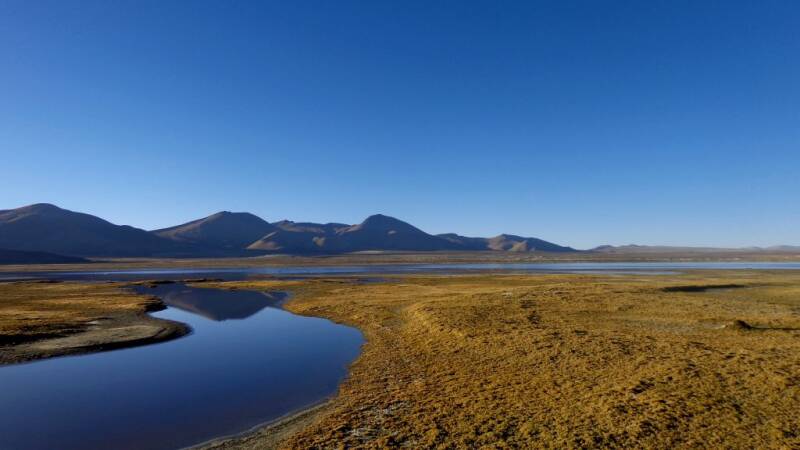
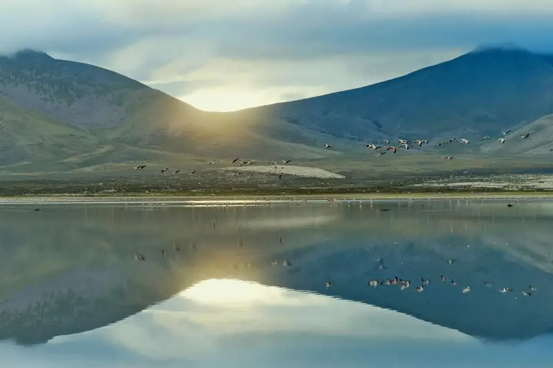
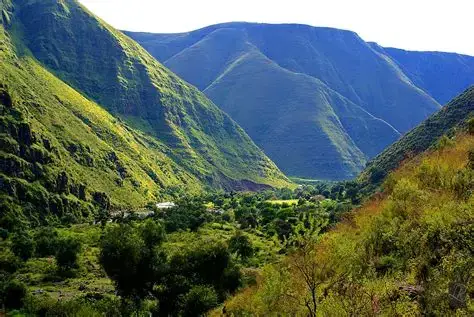
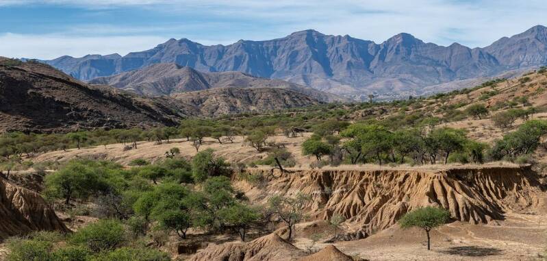
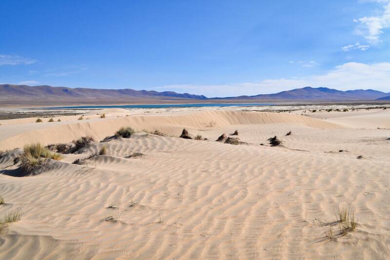
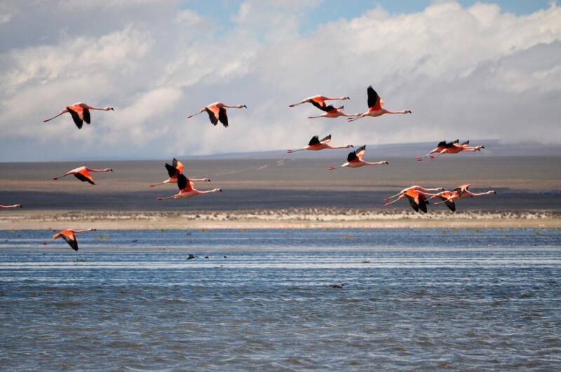
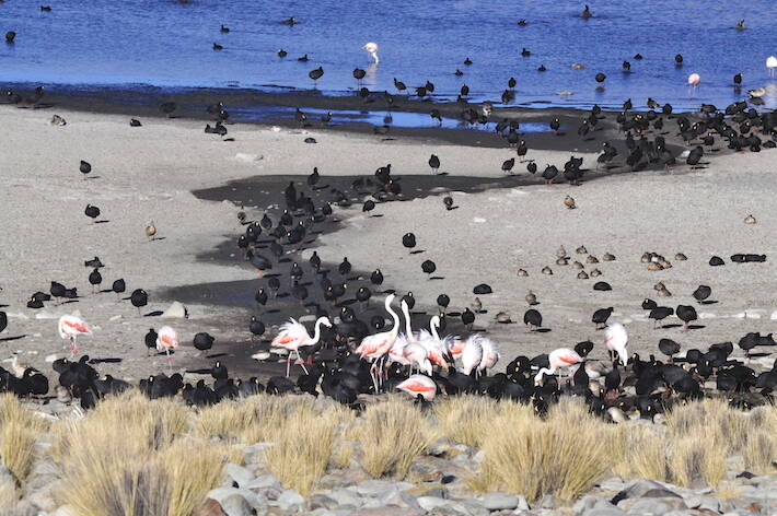
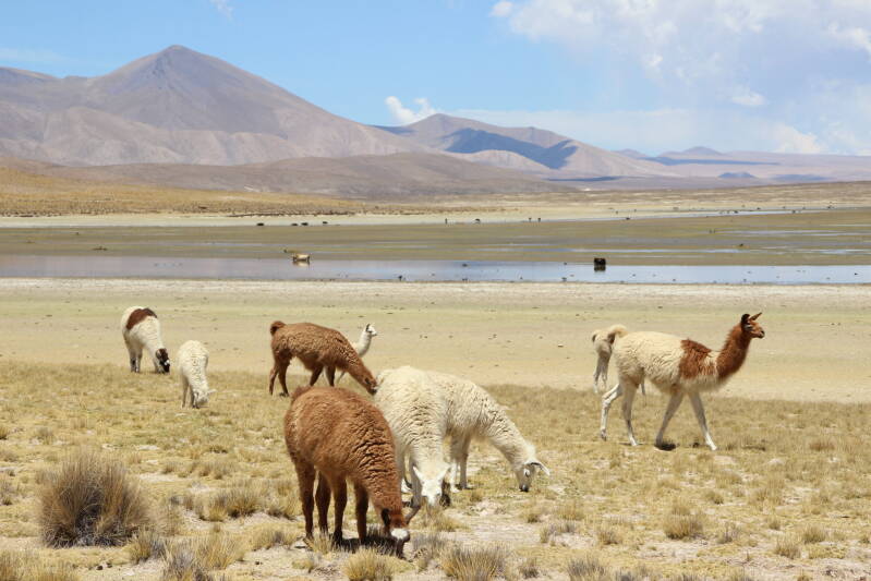
MANURIPI NATIONAL AMAZONIAN WILDLIFE RESERVE
The Manuripi National Amazonian Wildlife Reserve is one of Bolivia’s most important protected areas in the Amazon, located in the southwestern part of Pando. Covering approximately 7,470 km², the reserve protects extensive tropical rainforest, rivers, wetlands and diverse wildlife. Created in 1973, it is particularly important for the conservation of Amazonian biodiversity and the sustainable use of Brazil nuts and other forest products by local communities.
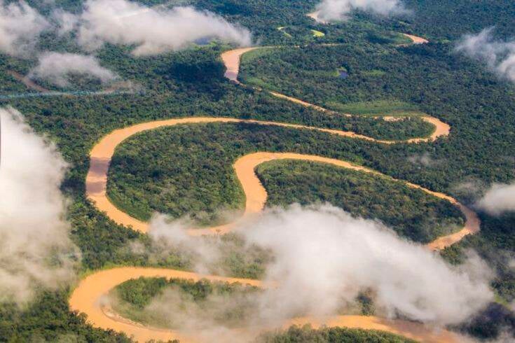

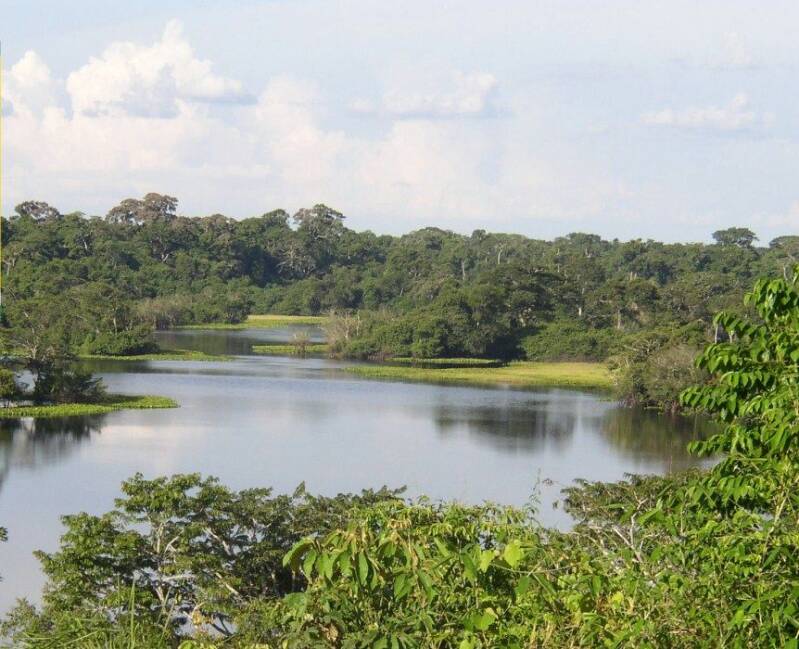
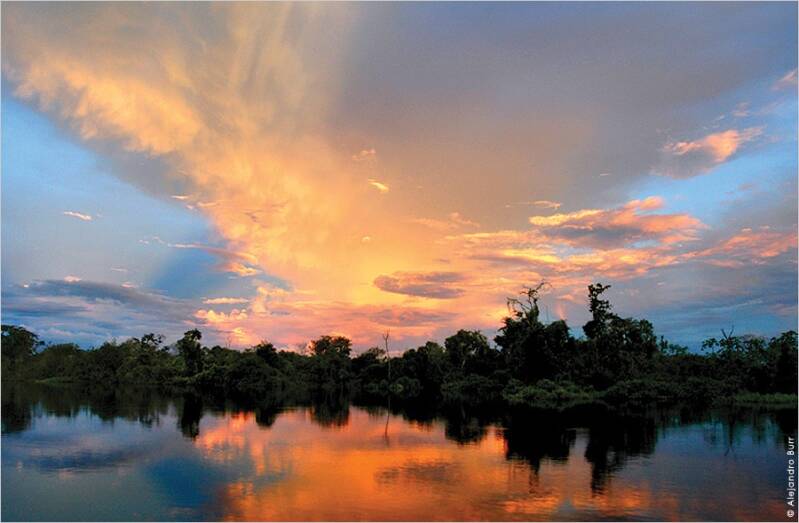
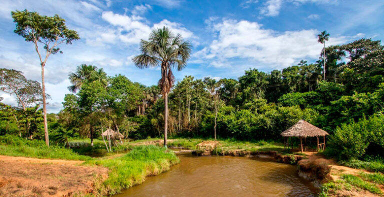
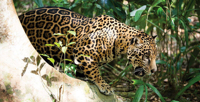
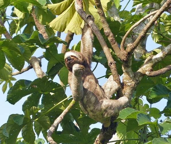
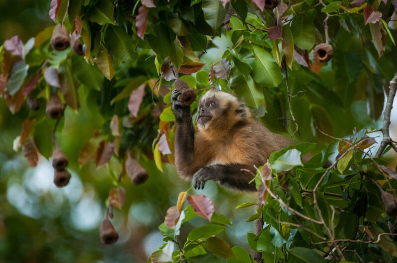
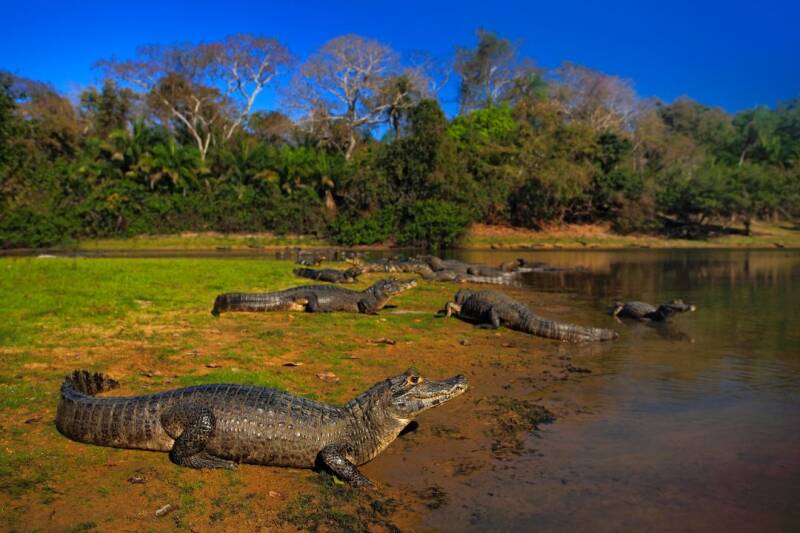
Highlights
-
Amazon rainforest: Extensive humid tropical forest with remarkable biodiversity.
-
Manuripi and Madre de Dios rivers: Major waterways that shape the reserve and provide opportunities for river exploration.
-
Lago Bay: A scenic lake known for its clear waters, aquatic vegetation, fish and birdlife.
-
Exceptional biodiversity: Jaguars, giant river otters, tapirs, monkeys, caimans and hundreds of bird species.
-
Brazil nut forests: The castaña is an important natural resource and source of income for local communities.
-
Community-based way of life: Traditional forest activities such as Brazil nut and açai harvesting contribute to the local economy.
Location: Manuripi is located in the southwestern part of Pando Department, between the Manuripi and Madre de Dios rivers, extending toward the Peruvian border. The reserve includes parts of the municipalities of Filadelfia and Puerto Rico. The nearest major city and principal gateway is Cobija, the capital of Pando.
Weather & Climate: The reserve has a warm, humid tropical climate throughout much of the year. Average temperatures are generally around 25–26°C, with maximum average temperatures reaching about 31°C. Annual rainfall varies roughly between 1,800 and 2,500 mm, with the wettest conditions generally occurring during the summer months. During the cooler winter period, occasional surazos - cold fronts from the south, can cause a noticeable temporary drop in temperatures.
Altitude: Manuripi is a lowland Amazonian reserve, with elevations ranging approximately from 128 to 269 metres above sea level. Its landscape consists mainly of gently undulating plains, floodplains and alluvial terraces.
Nature & Wildlife: Manuripi protects extensive areas of Amazonian humid tropical forest, including both terra firme forests and seasonally flooded forests. The vegetation includes Brazil nut trees, rubber trees, açai palms, majo, motacú, mapajo and numerous other Amazonian species. The reserve supports an impressive variety of wildlife species including jaguar, puma, giant river otter, white-lipped and collared peccaries, red and grey brocket deer, spider monkeys, howler monkeys and other primates, yellow-spotted river turtles, black caiman, giant armadillo, lowland tapir and a wide variety of Amazonian birds. The reserve contains hundreds of recorded bird, fish, reptile and amphibian species, making it particularly interesting for wildlife observation and ecological research.
Indigenous Communities & Culture: Manuripi is a living Amazonian landscape where local communities maintain strong connections with the forest and rivers. Communities and families within the reserve depend significantly on Brazil nut harvesting, alongside small-scale agriculture and other sustainable forest activities. The Brazil nut, or castaña, is particularly important to the identity and economy of Pando. Seasonal harvesting takes place in the forest and provides an important source of income for local families. Other forest products, including açai, majo and wild cacao, are also increasingly being developed through sustainable value chains.
Tourism Experiences: Manuripi is best suited to small-scale, nature-focused and responsible tourism rather than conventional mass tourism.
-
Rainforest Exploration: Explore Amazonian forest trails and learn about medicinal, edible and commercially important plants with knowledgeable local guides.
-
River & Lake Exploration: Travel by boat along the Manuripi River and other waterways, observing birds, aquatic wildlife and the surrounding rainforest.
-
Wildlife & Birdwatching: Early mornings and late afternoons can be particularly rewarding for observing birds and other wildlife.
-
Brazil Nut Experience: Discover the importance of the castaña to local way of life and learn how this important Amazonian product is sustainably harvested.
-
Lago Bay: Visit Lago Bay, one of the reserve's notable natural attractions, where visitors can enjoy the landscape and observe aquatic plants, fish, birds and other wildlife.
-
Nature & Conservation: The reserve also offers opportunities for educational and scientific tourism focused on rainforest ecology, biodiversity conservation and sustainable resource management.
Best Time to Visit: For outdoor exploration, the drier period from May to October is generally more practical, when roads and trails are easier to navigate and rainfall is lower. The forest remains lush throughout the year, however, the rainy season offers a different perspective of the Amazon, with fuller rivers and vibrant vegetation.
How to Get There: The principal gateway is Cobija, Pando's capital.
-
By air: Fly to Cobija from major Bolivian cities, depending on current flight schedules.
-
By road: Cobija is connected to other parts of Pando and Bolivia by road.
-
From Cobija to Manuripi: Access generally involves a combination of road travel and, depending on the destination within the reserve, river transport.
-
Some roads are more accessible during the dry season, while waterways are important transportation routes within the Amazon.
Where to Stay: Accommodation inside Manuripi is very limited, and the reserve is not designed for conventional hotel tourism. Visitors may find basic community accommodation or simple cabins depending on the area and local arrangements. For greater comfort, Cobija provides the most practical base, with hotels, restaurants and other services. Travellers planning to stay deeper inside the reserve should confirm accommodation, food, transport and guide arrangements before travelling.
Travel Tips:
-
Plan ahead: Manuripi is a remote destination with limited tourism infrastructure.
-
Use local guides: Local knowledge is invaluable for navigation, wildlife observation and understanding the forest.
-
Carry essentials: Bring drinking water, insect protection, sun protection, lightweight clothing, sturdy footwear and a waterproof bag for valuables.
-
Expect basic conditions: Facilities inside the reserve can be very simple.
-
Respect wildlife: Observe animals from a safe distance and never feed or disturb them.
-
Respect communities: Ask permission before photographing people, homes or community activities.
-
Support local livelihoods: Choose responsible community-based services and locally produced goods where possible.
-
Follow reserve regulations: Visitors should register with park authorities/guardaparques and follow conservation guidelines.
-
Check access conditions: Roads and river routes can change considerably with seasonal rainfall.
-
Travel responsibly: Take all rubbish with you and avoid damaging plants, wildlife habitats or cultural sites.
Manuripi offers an authentic introduction to Bolivia's Amazon—where vast rainforest, winding rivers, extraordinary wildlife and forest-based communities come together in one of the country's most important, protected landscapes.
SAN MATÍAS NATURAL AREA OF INTEGRATED MANAGEMENT
The San Matías Natural Area of Integrated Management (ANMI San Matías) is one of Bolivia’s largest protected areas, covering approximately 2.9 million hectares in eastern Santa Cruz. Created in 1997, it protects an extraordinary landscape where the Pantanal wetlands, Chiquitano Dry Forest, Cerrado and extensive savannahs meet. The area is particularly important for wildlife conservation, wetlands and the traditional territories and cultures of Indigenous communities. San Matías is an ideal destination for travellers seeking wildlife, wetlands, landscapes, photography, cultural encounters and responsible nature tourism.
Highlights
-
Vast landscapes of the Bolivian Pantanal
-
Chiquitano Dry Forest and Cerrado ecosystems
-
Lagunas La Gaiba, Uberaba and Mandioré
-
Puerto Gonzalo and its natural beaches
-
Santo Corazón and Bahía Negra communities
-
Excellent opportunities for birdwatching and wildlife observation
-
Possibility of seeing iconic species such as the jaguar, giant otter, marsh deer, giant anteater, tapir and blue-throated macaw
-
Chiquitano and Ayoreo cultural heritage
-
Spectacular sunsets over the Pantanal wetlands
-
A destination suited to ecotourism, nature photography, trekking and experiential travel
Location: San Matías is located in the eastern part of Santa Cruz Department, close to the Brazilian border. The protected area extends across parts of the provinces of Ángel Sandóval, Germán Busch, Chiquitos and Velasco. Its landscapes form part of the wider Chaco–Pantanal region. The area can be approached through San José de Chiquitos, Roboré, El Carmen Rivero Tórrez, Puerto Suárez and San Matías, depending on the destination within the protected area.
Weather & Climate: San Matías has a subtropical climate, influenced by the Amazonian lowlands and the Pantanal. Average annual temperatures generally range from around 20°C to 32°C, while annual rainfall varies considerably across the region. Most rainfall occurs during the warmer summer months, when wetlands and low-lying areas can become flooded. The dry season from June to November is generally the most practical period for tourism because roads are more stable and some flooded areas become easier to access.
Altitude: The protected area covers a broad range of elevations, approximately 108 to 1,210 metres above sea level. Most of the Pantanal landscapes are situated at relatively low elevations, while higher terrain occurs around the surrounding forested and rocky areas.
Nature & Wildlife: San Matías is exceptionally rich in biodiversity because several major ecosystems converge here, including Pantanal wetlands, Chiquitano Dry Forest, Cerrado, flooded savannahs, rivers, lagoons and palm landscapes. Wildlife associated with the area includes jaguar, giant otter, marsh deer and pampas deer, white-lipped and collared peccaries, giant anteater, lowland tapir, maned wolf, black howler monkey, yacare caiman, yellow anaconda, black-and-chestnut eagle and other raptors, hyacinth macaw, jabiru stork and numerous wetland birds. The hyacinth macaw is particularly emblematic of the protected area and has been identified as a conservation symbol for San Matías.
Indigenous Communities & Culture: San Matías is home to Indigenous communities whose history and traditions are closely connected with the surrounding forests, wetlands and rivers. Chiquitano and Ayoreo communities are particularly important to the cultural identity of the region. The creation of the ANMI was also intended to help maintain the traditional territories and sustainable practices of these Indigenous peoples. Communities such as Santo Corazón and Bahía Negra offer opportunities to learn about local traditions, including community life, traditional knowledge, food, crafts, celebrations and cultural practices.
Tourism Experiences: San Matías offers a different side of Bolivia, combining wetlands, wildlife and living cultures.
-
Wildlife & Nature: Wildlife observation, birdwatching, nature walks and exploration, wildlife photography, wetland and lagoon excursions
-
Lagoons & Landscapes: Explore La Gaiba, Uberaba and Mandioré, visit Puerto Gonzalo, enjoy natural beaches and wetland scenery and watch spectacular sunsets over the lagoons.
-
Cultural Experiences: Visit communities such as Santo Corazón and Bahía Negra, learn about Chiquitano and Ayoreo traditions and discover traditional food, crafts and local knowledge.
-
Adventure & Exploration: Trekking and guided nature walks, scenic road journeys through the Chiquitano landscape, responsible fishing experiences where locally permitted.
Best Time to Visit: June to November is generally the best period for visiting San Matías. The dry season provides more favourable road conditions and easier access to many parts of the protected area. Wildlife can also be easier to observe around remaining water sources as the dry season progresses. The wet season creates spectacular flooded landscapes and abundant waterbird habitat, but travel can become more difficult because roads and low-lying areas may be affected by flooding.
How to Get There: San Matías is a remote destination, and travel times can vary considerably depending on road and weather conditions.
-
By road: Access from Santa Cruz generally involves travelling through the Chiquitania and towns such as San José de Chiquitos, Roboré, El Carmen Rivero Tórrez and Puerto Suárez, before continuing towards the San Matías region. The route between Roboré and San Matías is known for its scenic landscapes.
-
By air: Flights from Santa Cruz can connect travellers with the eastern lowlands, including the Puerto Suárez area. Small airstrips also serve some communities within or near the protected area, subject to local availability.
-
By rail: The eastern railway from Santa Cruz travels towards Puerto Quijarro, passing through destinations including San José de Chiquitos, Roboré, El Carmen Rivero Tórrez and Puerto Suárez.
Where to Stay: Accommodation is relatively limited compared with Bolivia's major tourist destinations. Visitors can base themselves in San Matías, Puerto Suárez, Puerto Quijarro, Roboré or other nearby towns, depending on the itinerary. For deeper exploration of the protected area, locally organised excursions may use simple community accommodation, lodges or rural stays, where available.
Travel Tips
-
Plan your journey carefully because San Matías is a large and remote protected area.
-
Travel with an experienced local guide when visiting remote wetlands and forest areas.
-
Check road conditions, particularly during the rainy season.
-
Carry sufficient drinking water, sun protection, insect repellent and suitable walking clothing.
-
Bring binoculars and a camera for wildlife and birdwatching.
-
Respect Indigenous communities, traditions and private property.
-
Do not feed, chase or disturb wildlife.
-
Follow SERNAP regulations and register with park personnel where required.
-
Avoid leaving rubbish behind and minimise your environmental impact.
-
Support locally owned accommodation, guides, crafts and community tourism initiatives.
-
Responsible tourism helps protect both the biodiversity and cultural heritage of San Matías.
San Matías is where the Pantanal meets the Chiquitano Forest, San Matías offers an extraordinary journey into one of Bolivia's wildest landscapes—where wetlands, wildlife and living Indigenous cultures come together.
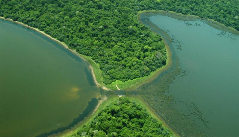
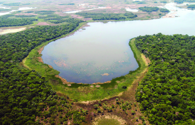
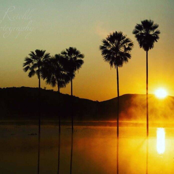
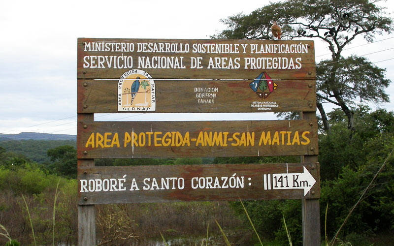
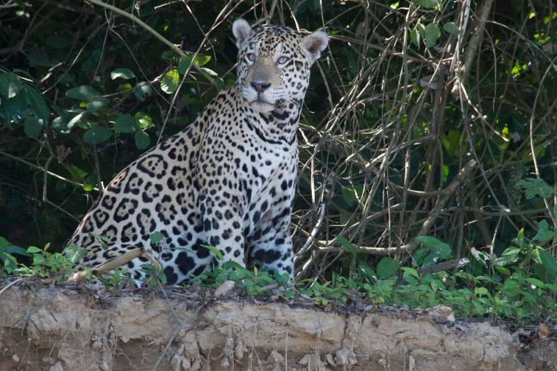
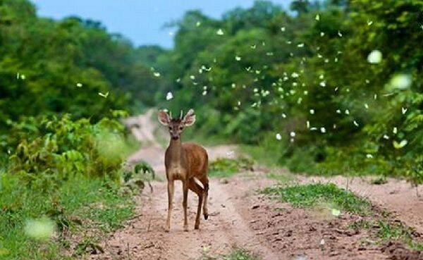
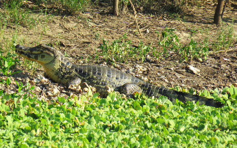

AGUARAGÜE NATIONAL PARK & ANMI
The Aguaragüe National Park and Area Natural de Manejo Integrado (PN-ANMI) protects the dramatic Aguaragüe mountain range in southern Bolivia, forming a natural transition between the Tucumano-Bolivian forests and the Chaco. Created on 20 April 2000, the protected area covers more than 108,000 hectares and is an important source of water for communities and towns in the Gran Chaco region. Aguaragüe is particularly special for its combination of forested mountains, dry Chaco landscapes, streams, valleys and rich biodiversity. Its location between different ecosystems creates a remarkable variety of habitats within a relatively compact area.
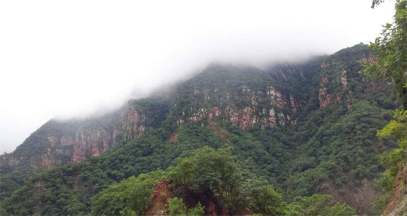
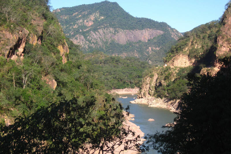
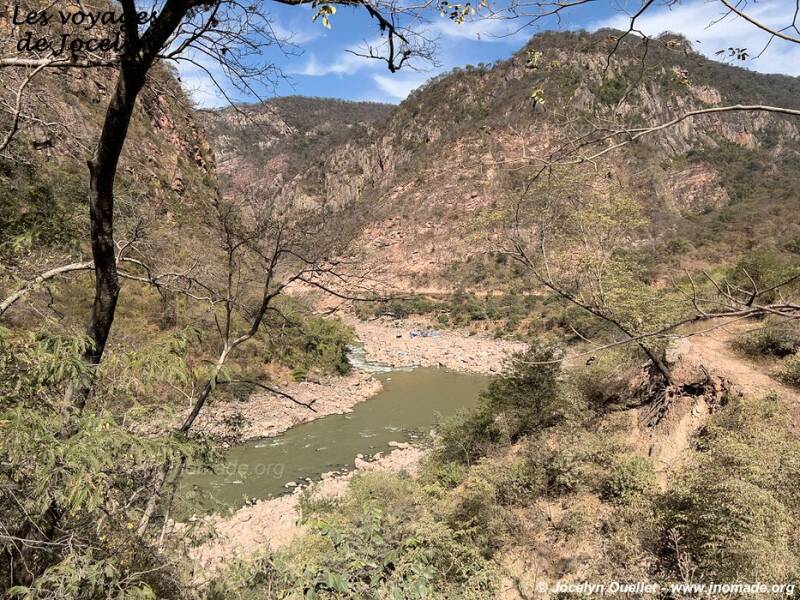
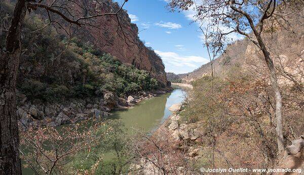
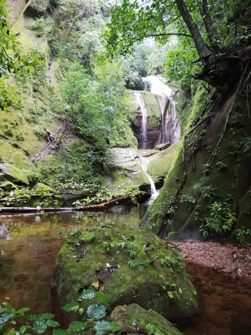
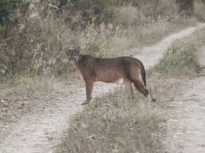
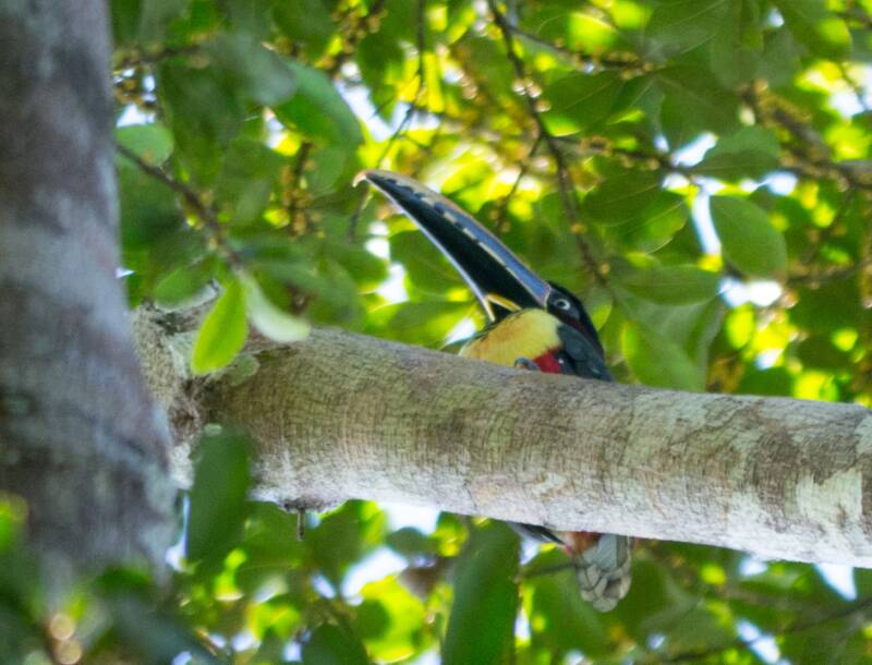

Highlights
-
Aguaragüe mountain range – spectacular forested landscapes rising above the Chaco plains.
-
Tucumano-Bolivian Forest – lush mountain forest with a diverse range of trees and plants.
-
Chaco Serrano – dry woodland characteristic of southern Bolivia.
-
Gran Chaco transition zone – an exceptional meeting point between contrasting ecosystems.
-
Rich wildlife – opportunities for observing birds, mammals and other native species.
-
Important water source – the mountains and forests play a vital role in maintaining water resources for Yacuiba, Caraparí and Villa Montes.
-
Guaraní and Weenhayek cultural heritage – the surrounding region have strong Indigenous cultural traditions.
Location: Aguaragüe is located in the Gran Chaco Province of Tarija Department, in southeastern Bolivia. The protected area extends across the municipalities of Yacuiba, Caraparí and Villa Montes, stretching from the Argentine border northwards toward the boundary with Chuquisaca. The area is strategically positioned between the Chaco lowlands and the Andean foothills, giving it considerable ecological diversity.
Weather & Climate: Aguaragüe has a generally warm, seasonal climate, with conditions changing according to altitude and landscape. Average summer temperatures are around 21.5°C, while annual rainfall is approximately 850–1,000 mm in much of the area. The warmer lowlands can be hot during the summer, while higher valleys and mountain areas are cooler. Winter is generally drier, and cold conditions can occasionally occur in sheltered valleys. The climate varies from season to season an different areas:
-
Summer: warm, with more rainfall and greener vegetation.
-
Winter: generally drier and pleasant during the day, with cooler nights.
-
Mountain areas: cooler than the surrounding Chaco lowlands.
-
Rainfall: approximately 850–1,000 mm annually in the principal climatic zone.
Altitude: The protected area ranges approximately from 750 to 1,900 metres above sea level, creating significant ecological variation between the lower Chaco and the higher mountain forests.
Nature & Wildlife: Aguaragüe is one of southern Bolivia's important ecological transition zones. The Tucumano-Bolivian Forest, Chaco Serrano and Gran Chaco meet within the wider protected landscape, creating habitats for a diverse range of plants and animals. The forests include species such as cedar, nogal, pino del cerro, barroso, guayabilla and several species of laurel. Wildlife in the wider Aguaragüe landscape includes numerous species of birds and mammals adapted to both forest and Chaco environments, such as toucan and other forest birds, raptors, parrots, small mammals and other native wildlife, although sightings are naturally unpredictable. The protected area is also important for maintaining forest cover, streams and water sources that support surrounding communities.
Indigenous Communities & Culture: Aguaragüe lies within a region of strong Indigenous cultural identity, particularly associated with Guaraní and Weenhayek communities. The protected area borders the Weenhayek TCO to the east and is close to the Itikaguasu Guaraní territory to the west. The Guaraní cultural presence is particularly important around the communities of the Gran Chaco, where traditions, language, communal life, crafts, food and close relationships with the natural environment remain part of the region's cultural identity. The Weenhayek, whose ancestral territory is closely associated with the Pilcomayo River and the surrounding Chaco, have distinctive traditions connected to fishing, crafts, family life and the natural environment.
Tourism Experiences: Aguaragüe offers opportunities for nature, adventure and cultural tourism, particularly for travellers interested in exploring a less-developed protected landscape. These experiences include:
-
Nature walks and hiking through Chaco and mountain forest landscapes.
-
Birdwatching in the transition between forest and Chaco habitats.
-
Wildlife observation.
-
Landscape photography in the mountain valleys and Chaco foothills.
-
Forest and botanical interpretation, discovering the area's distinctive vegetation.
-
Community-based cultural experiences with Indigenous communities where locally organised and available.
-
Learning about Chaco ecosystems and the importance of Aguaragüe as a regional water source.
-
Rural and cultural tourism around Yacuiba, Caraparí and Villa Montes.
Aguaragüe is best suited to travellers looking for nature, culture and off-the-beaten-path experiences, rather than highly developed mass tourism.
Best Time to Visit: The drier months from approximately May to October are generally the most comfortable period for outdoor activities, with less rainfall and easier conditions for exploring the region. April to October can be particularly attractive for hiking, wildlife observation and landscape photography. The warmer and wetter period from November to March brings greener vegetation but can produce heavier rainfall and more difficult access in some areas.
How to Get There: The principal access points are Yacuiba, Caraparí and Villa Montes in Tarija Department. Yacuiba is the largest regional transport centre and provides a practical base for exploring the surrounding Chaco. From these towns, access to specific parts of the protected area may involve local roads, rural tracks and guided excursions. Conditions can vary considerably depending on weather and the destination within the protected area.
Where to Stay: The most practical accommodation bases are Yacuiba, Villa Montes and Caraparí, where visitors can find hotels, guesthouses and other basic accommodation. For travellers seeking a more immersive experience, rural and community-based accommodation may be available in selected areas, depending on local tourism initiatives and seasonal operation. For a Discover Bolivia itinerary, Aguaragüe can also be combined with other attractions of the Tarija and Gran Chaco region, creating a broader nature and cultural journey.
Travel Tips
-
Travel with a local guide when exploring remote areas of the protected landscape.
-
Check road conditions before travelling, especially during the rainy season.
-
Carry sufficient drinking water, sun protection and insect repellent.
-
Wear comfortable, lightweight clothing and sturdy footwear for walking.
-
Bring binoculars if you are interested in birdwatching.
-
Respect Indigenous communities, local customs and photography permissions.
-
Do not disturb wildlife or remove plants, rocks or other natural materials.
-
Carry rubbish out of the protected area.
-
Avoid visiting remote areas alone.
-
Confirm access arrangements and local conditions before setting out.
-
Support local guides, community-based tourism initiatives and small businesses whenever possible.
Aguaragüe is where the Chaco meets the mountains — a landscape of forests, wildlife, Indigenous culture and vital water sources. Discover one of southern Bolivia's lesser-known protected areas and experience the natural and cultural richness of the Gran Chaco.
IÑAO NATIONAL PARK AND NATURAL AREA OF INTEGRATED MANAGEMENT
Iñao National Park and Natural Area of Integrated Management (PN-ANMI Serranía del Iñao) is one of Chuquisaca’s most important protected areas, safeguarding a spectacular transition between the Bolivian-Tucuman forests, Chaco Serrano and Gran Chaco ecosystems. Created in 2004, the protected area covers approximately 2,630.9 km² (263,090 hectares) and protects mountain ranges, forested valleys, rivers and exceptionally diverse wildlife. Iñao remains a relatively little-known destination, making it an appealing choice for travellers interested in nature, wildlife, hiking, photography and cultural encounters.
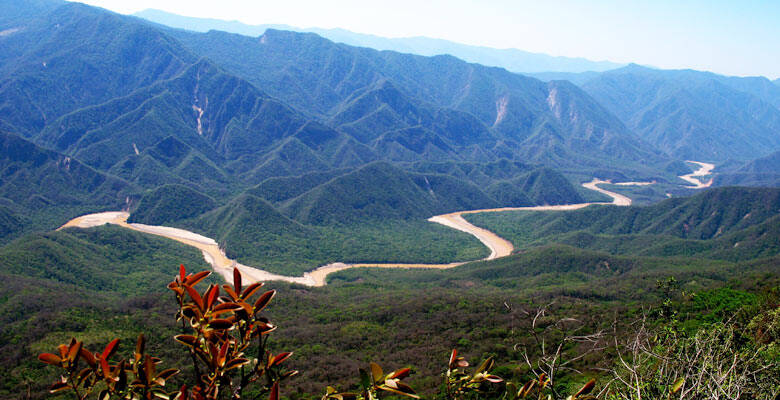
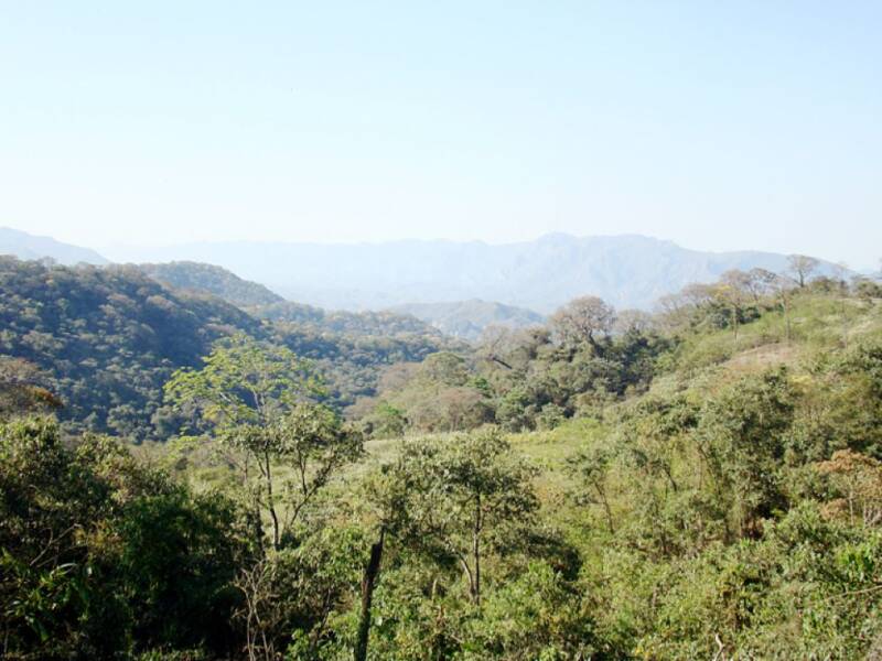

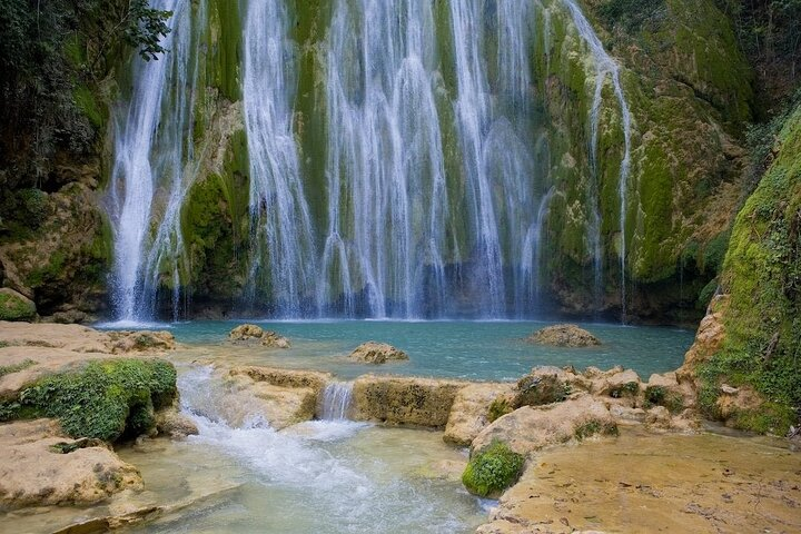
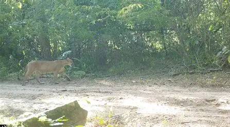
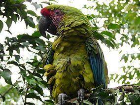
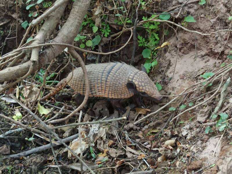
Highlights
-
Serranía del Iñao mountain landscapes and forested valleys
-
Three major ecological regions: Bolivian-Tucuman, Chaco Serrano and Gran Chaco
-
Rich biodiversity and important wildlife habitat
-
Río Grande and Río Azero landscapes
-
Phajcha El Limón waterfall
-
Aguas Termales de Iripití hot springs
-
Ruinas de Ilinchupa, an archaeological and scenic viewpoint
-
Natural swimming areas along the Río Azero
-
Guaraní cultural communities and traditions
-
Excellent potential for birdwatching, nature photography and ecotourism
Location: Iñao is located in the southeastern part of Chuquisaca Department, extending across the provinces of Belisario Boeto, Tomina, Hernando Siles and Luis Calvo. The municipalities associated with the protected area include Padilla, Monteagudo and Villa Vaca Guzmán. The area lies in an important ecological transition between the Andes and the Gran Chaco, which explains its exceptional variety of habitats.
Weather & Climate: The Iñao region has a generally subhumid to seasonally dry climate, influenced by its position in the Sub-Andean region and its transition toward the Chaco. Rainfall is concentrated mainly during the warmer months, while the dry season generally occurs during the cooler months. Conditions vary considerably with altitude. Lower valleys can be warm, while the higher mountain areas are cooler and more humid.
Altitude: Iñao has a remarkable altitudinal range of approximately 520 to 3,030 metres above sea level. This large elevation range creates a succession of habitats, from lower Chaco landscapes and dry forests to humid mountain forests.
Nature & Wildlife: The protected area is particularly valuable for its combination of different ecosystems. Its forests include Bolivian-Tucuman forest, Chaco vegetation, Chaco transition forests and other forest communities. More than 600 vascular plant species have been documented, with considerably greater diversity expected. Wildlife recorded in the area includes jaguar, puma, Andean bear (jukumari), tapir (anta), giant anteater, Andean condor, king vulture, numerous raptors and forest birds and a wide variety of amphibians, reptiles and insects. Because parts of Iñao remain relatively little studied, the protected area also has significant value for scientific research and biodiversity monitoring.
Indigenous Communities & Culture: The protected area includes rural communities with strong connections to the surrounding forests, rivers and agricultural landscapes. Guaraní culture is particularly important in communities around Villa Vaca Guzmán and the wider Iñao region, including places such as Aguayrenda, Ity and Teperillas.
Tourism Experiences: Iñao offers opportunities for responsible, nature-based tourism, including:
-
Ecotourism & Nature Exploration: Explore forests, valleys, rivers and mountain landscapes across one of Chuquisaca's most biologically diverse protected areas.
-
Hiking & Adventure: Discover scenic trails, waterfalls, viewpoints and remote landscapes. Conditions can be demanding in some areas, so local guidance is recommended.
-
Birdwatching & Wildlife Observation: The variety of habitats makes Iñao an interesting destination for birdwatchers and wildlife enthusiasts.
-
Nature Photography: Mountain forests, rivers, waterfalls and changing vegetation provide excellent opportunities for landscape and wildlife photography.
-
Hot Springs: Visit the Iripití hot springs, located southeast of the community of Iripití.
-
Rivers & Waterfalls: Explore Phajcha El Limón, the Río Grande and Río Azero, including natural bathing areas and scenic river landscapes.
-
Culture & Heritage: Combine nature exploration with visits to Guaraní communities and historical attractions such as the Ilinchupa ruins.
Best Time to Visit: The drier months, generally May to October, can be more convenient for exploring the region, with June to August typically offering better conditions for travelling on rural roads and hiking. The rainy season, approximately November to March, brings greener landscapes and fuller rivers and waterfalls, but some rural roads can become more difficult to travel.
How to Get There:
-
From Sucre: Travel south and east via the Jaime Mendoza road towards Monteagudo and Camiri, using local roads to reach communities and attractions around the protected area.
-
From Santa Cruz: Travel towards Camiri on the Santa Cruz–Yacuiba highway, then continue through the Ipati junction towards Muyupampa. The route includes paved and gravel sections.
Access within the protected area can be challenging, particularly during the rainy season. For remote locations, travelling with an experienced local guide and appropriate transport is strongly recommended.
Where to Stay: Monteagudo is one of the most practical bases for exploring the Iñao region, with accommodation, restaurants, shops and transport services. Visitors can also find accommodation or community-based options in some surrounding towns and communities, depending on the destination and season. For remote excursions, arrangements should be made in advance rather than relying on accommodation inside the protected area.
Travel Tips:
-
Plan your route carefully because Iñao is a large and relatively remote protected area.
-
Use a local guide for trails and less-developed attractions.
-
Check road conditions before travelling, particularly during the rainy season.
-
Carry sufficient drinking water and food for excursions.
-
Bring good walking shoes, sun protection, insect protection and rain gear.
-
Carry cash because services can be limited outside the main towns.
-
Respect local communities, cultural traditions and protected-area regulations.
-
Avoid disturbing wildlife or removing plants, rocks or archaeological objects.
-
Support local guides, community tourism and locally produced goods where possible.
-
Travel responsibly and leave no trace.
Iñao is where the Andes meet the Chaco, the area reveals a remarkable world of forests, rivers, wildlife and living cultures. Discover one of Chuquisaca's lesser-known natural treasures and experience Bolivia beyond the usual tourist routes.
EL CARDÓN NATIONAL PARK & ANMI
El Cardón National Park & Integrated Management Area (Parque Natural y Área de Manejo Integrado El Cardón) is a remarkable protected landscape in the highlands of Tarija, known for its extensive cardonal, a striking concentration of columnar and low-growing cacti adapted to the dry Andean environment. Created by Law No. 2465 on 2 May 2003, the protected area covers approximately 30,056 hectares across the municipalities of El Puente and Yunchará. Its combination of dramatic mountain scenery, unique cactus ecosystems, rural communities and archaeological heritage makes El Cardón an emerging destination for nature, cultural and community-based tourism.
Highlights
-
Extensive landscapes of giant cardón cacti
-
High-altitude Prepuna landscapes and mountain scenery
-
Around 12–14 locally recognised varieties of cacti
-
Archaeological remains and rock engravings
-
Opportunities for Andean wildlife and bird observation
-
Panoramic landscapes around the Cardonales and Curqui
-
Community-based tourism and rural experiences
-
Excellent opportunities for landscape and nature photography
Location: El Cardón is located in the department of Tarija, mainly within the municipalities of El Puente and Yunchará, in the provinces of Méndez and José María Avilés. The principal access point is around Curqui, approximately 72 km from the city of Tarija. The protected area lies in the Prepuna region near the headwaters of the San Juan del Oro River and west/southwest of the Reserva Biológica Cordillera de Sama.
Weather & Climate: El Cardón has a semi-arid, temperate-to-cold highland climate. Days can be sunny and relatively mild, while temperatures fall considerably at night, particularly at higher elevations. Rainfall is concentrated mainly during the summer months, while the dry season generally brings clearer skies and cooler conditions. Weather conditions can change quickly in the mountains, from strong sunshine to cold temperatures and occasional wind.
Altitude: The protected area extends from approximately 3,100 to 4,300 metres above sea level, creating significant variations in climate, vegetation and scenery across the landscape.
Nature & Wildlife: El Cardón's defining natural feature is its exceptional diversity of cacti and other Prepuna vegetation. Locally recognised varieties include the Cardón Verde, Cardón Amarillo, Lorocho, Poko, Umoto, Airampu, Cola de Zorro, Achacana and others. The vegetation also includes dryland shrubs and small woodland formations characteristic of the high Andean valleys. The surrounding highland ecosystems support wildlife adapted to dry and mountainous environments. Vicuñas are particularly important to the conservation value of the area positioning to El Cardón as part of regional conservation monitoring, Andean birds and other highland wildlife may also be encountered.
Indigenous & Local Communities: El Cardón is a rural community landscape, where local families maintain agricultural and livestock traditions alongside the protected area's natural heritage. Communities associated with the area include Huarmachi, Cóndor Huasy, Curqui and Copayito, Traditional way of life includes agriculture and livestock raising, with crops such as maize, beans and peas, as well as sheep and goat husbandry. Community-based tourism offers opportunities to learn about everyday rural life.
Tourism Experiences:
-
Explore the Cardonales: Walk through spectacular landscapes filled with different varieties of columnar and low-growing cacti while learning about their adaptation to the dry highland environment.
-
Highland Nature & Scenic Walks: Explore mountain trails and viewpoints across the Prepuna landscape, with panoramic views of valleys, ridges and cactus-covered slopes.
-
Discover Archaeological Heritage: The area contains archaeological remains and rock engravings, including sites associated with pre-Columbian occupation. Some local studies suggest connections with Chicha-Inca cultural heritage, although the precise origin and dating of individual remains require further research.
-
Community Tourism: Meet local communities and discover traditional agriculture, livestock production, local foods and rural customs through appropriately organised community-based experiences.
-
Nature & Landscape Photography: The combination of giant cacti, high mountains, dry valleys and changing light creates outstanding opportunities for photography.
-
Wildlife Observation: With patience and responsible observation, visitors may encounter highland wildlife, including vicuñas and Andean birdlife.
Best Time to Visit: The drier months from April to October are generally suitable for exploring the highland landscapes, with clearer skies and good conditions for walking and photography. The May–September period can be particularly attractive for visitors seeking crisp mountain scenery. The summer months can bring more rainfall and cloud, but they can also add seasonal colour to the landscape.
How to Get There: From Tarija city, travel towards Iscayachi and El Campanario before taking the route towards the Cardonales and Curqui. Curqui is approximately 72 km from Tarija, although travel times can vary considerably depending on road conditions and weather. There is also some local interprovincial transport from Tarija to the area on selected days.
Where to Stay: El Cardón has limited tourism infrastructure compared with established Bolivian destinations. Visitors should consider staying in Tarija and making a day trip with an organised local guide or arranging accommodation and community-based services in advance where available. For a more immersive experience, community tourism initiatives offer rural accommodation or locally organised activities, but availability should be confirmed before travelling. A 2025 study identified community-based tourism as an opportunity for developing sustainable tourism services in El Cardón.
Travel Tips:
-
Bring warm layers because temperatures can drop sharply after sunset.
-
Use sun protection: high-altitude sunlight can be intense.
-
Wear sturdy footwear suitable for uneven mountain terrain.
-
Carry sufficient drinking water and snacks.
-
Travel with a local guide when exploring remote areas.
-
Respect archaeological sites and never remove artefacts or stones.
-
Do not damage, climb on or collect cactus plants.
-
Ask permission before photographing local people or entering community spaces.
-
Support local guides, producers and community tourism initiatives.
-
Allow extra travel time because mountain roads and weather can affect journeys.
-
Because tourism infrastructure is still developing, arrange transport and services in advance.
“El Cardón” is where giant cardón cacti meet the highlands of Tarija, offering a rare combination of nature, rural culture and archaeological heritage. Discover its extraordinary landscapes responsibly and experience one of Bolivia's lesser-known protected areas.